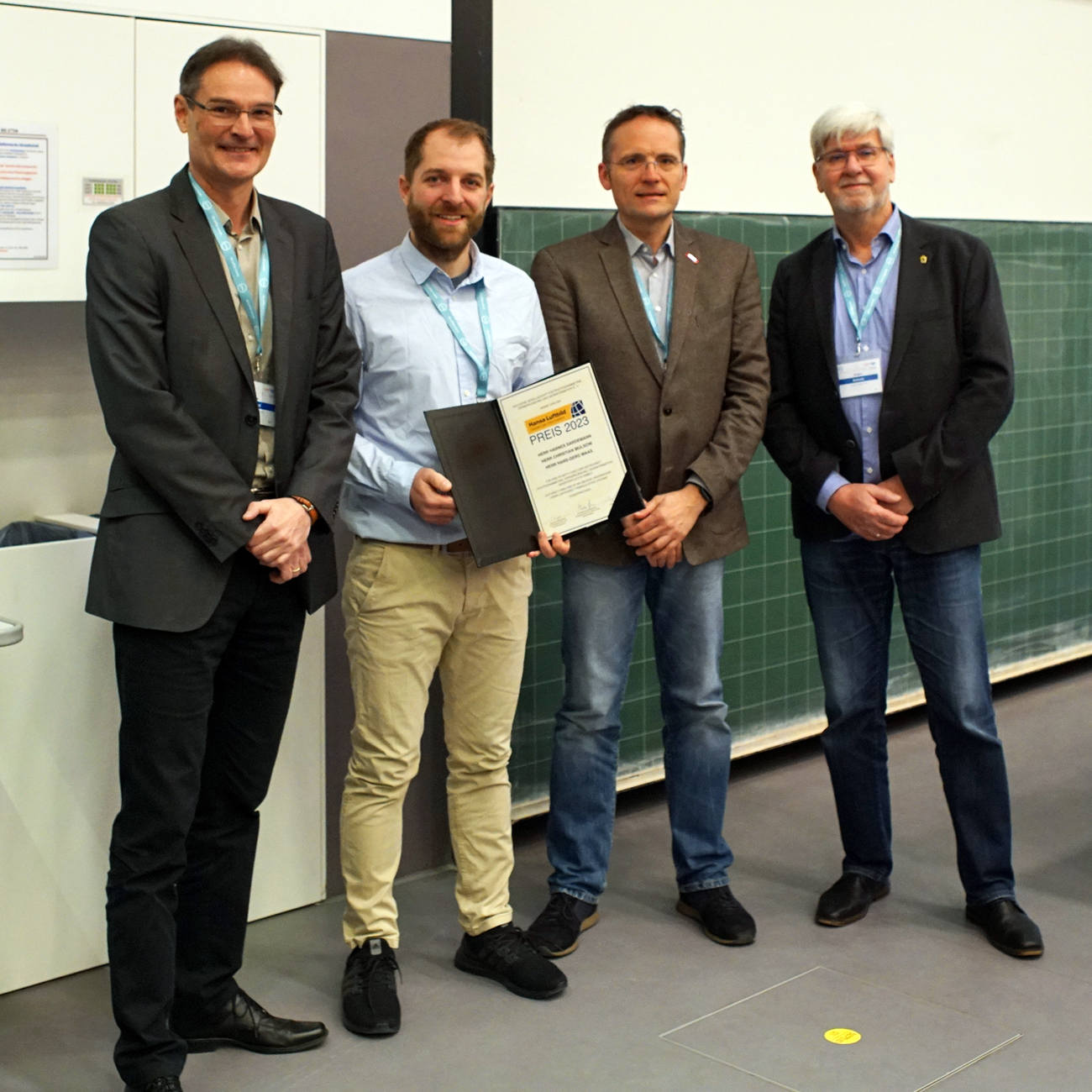
Hansa Luftbild Award 2023
Since 1972 Hansa Luftbild has been awarding the Hansa Luftbild Prize in the context of the anniversaries of the "German Society for Photogrammetry, Remote Sensing and Geoinformation" (DGPF). The prize is awarded for outstanding scientific achievements, especially by young scientists, whose achievements are also characterized by a high practical relevance.
 14.10.2022
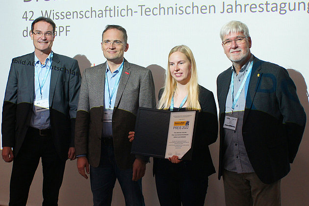
Hansa Luftbild Award 2022
Since 1972, Hansa Luftbild has been awarding the Hansa Luftbild Award as part of the anniversaries of the "German Society for Photogrammetry, Remote Sensing and…
 08.04.2022
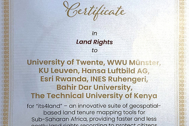
GEOSPATIAL WORLD EXCELLENCE AWARD for the project “its4land”
A special commendation for HANSA LUFTBILD AG and all other cooperating partners
We look forward to participating in the 19th International 3D-Forum Lindau from 10 to 11 May 2022.
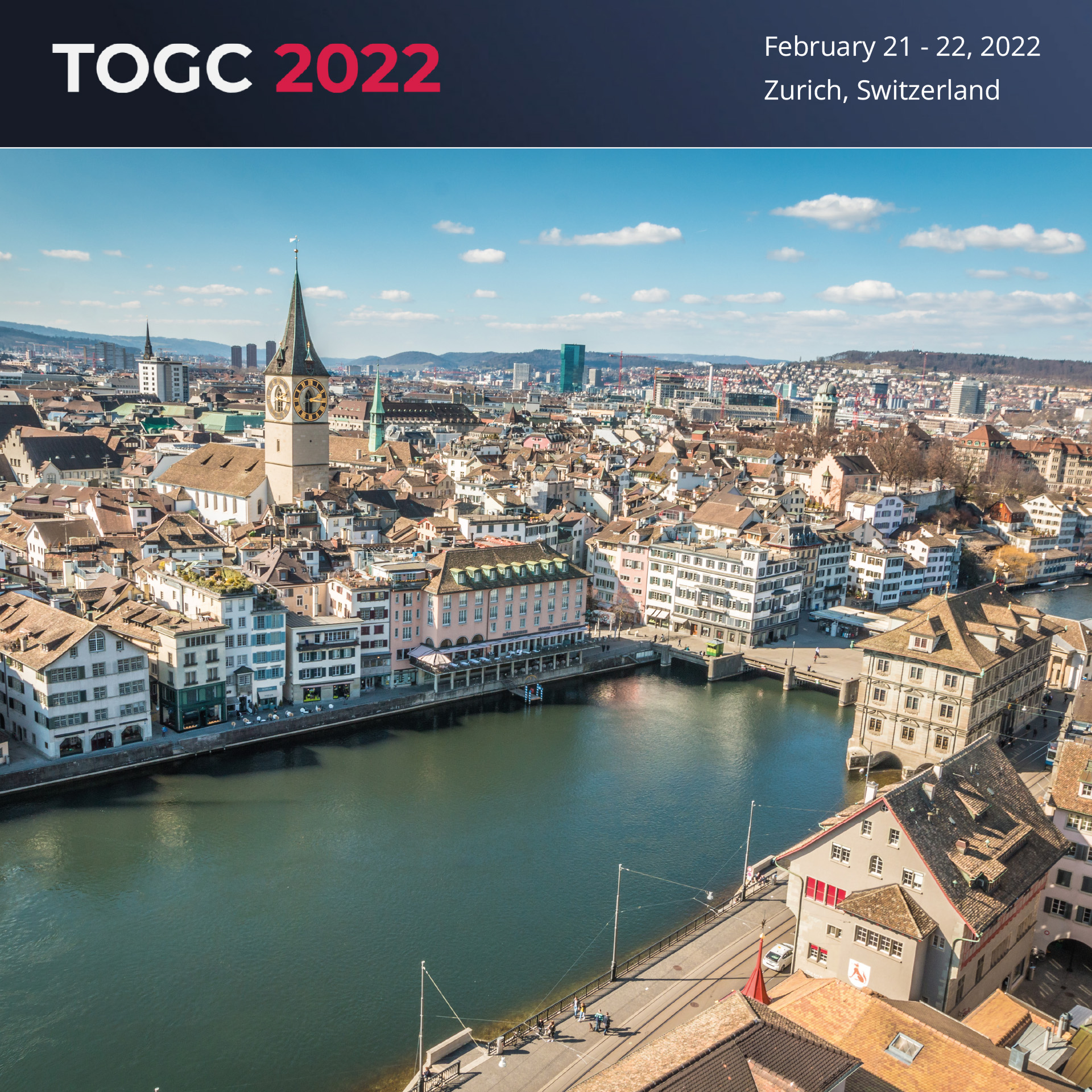
We are looking forward to participating in the TOGC CONGRESS 2022 #togcevents (21 and 22 February, Stand 30) in Zurich.
The OPEN DAY PHOTOGRAMMETRY was the live event where airborne surveying was put into focus in a practical way.

The OPEN DAY PHOTOGRAMMETRY is a live event that focuses on airborne surveying in a very practical way. “Hands-on photogrammetry” is the motto. The companies AVT, BSF Swissphoto, geoplana, Hansa…

The data of a laser scanning (LiDAR) and image mobile mapping campaign is used by many departments within municipal administrations. In addition to the specialist departments for civil engineering,…

The data of a laser scanning (LiDAR) and image mobile mapping campaign is used by many departments within municipal administrations. In addition to the specialist departments for civil engineering,…

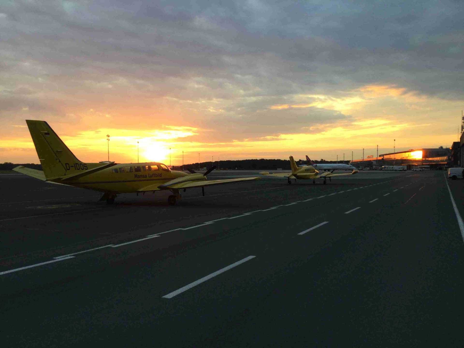
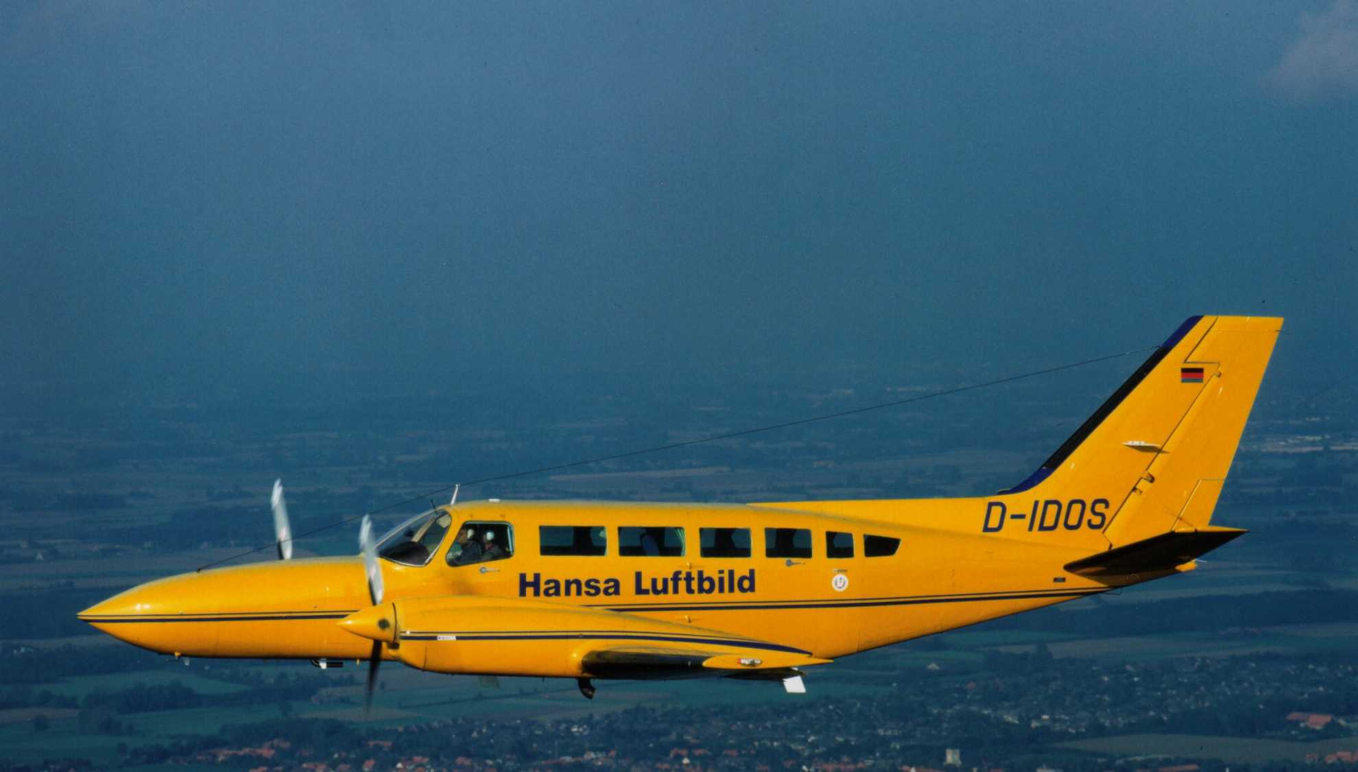
Sun position 25° - springlike temperatures all over Germany - the crews of Hansa Luftbild were again on duty over the weekend. On board: the UltraCam Eagle!
“The UltraCam Eagle Mark 3 is our flagship…
The outworking of the corona virus has brought many new challenges to the business and service sector. The tourism sector has been severely affected and has shrunk markedly. Air passenger services…
Although the weather at present does not look promising, and spring days seem far away, Hansa Luftbild is working intensively on preparing flight surveys and projects.
January is almost over and before we know it spring will be here. The days will lengthen, the weather become warmer and the sun will be higher in the sky. For Hansa Luftbild this means the start of…
The shopping centre roofs on the banks of the Weser don’t resemble a space station by chance. This building depicted in the “Aerial photo of the month” was originally constructed for the Bremen Space…

For 3D Mobile Mapping Hansa Luftbild uses vehicles equipped with multi-sensors. The combination of stereo images, a panorama camera and laser scanner enables the delivery of highly accurate survey…
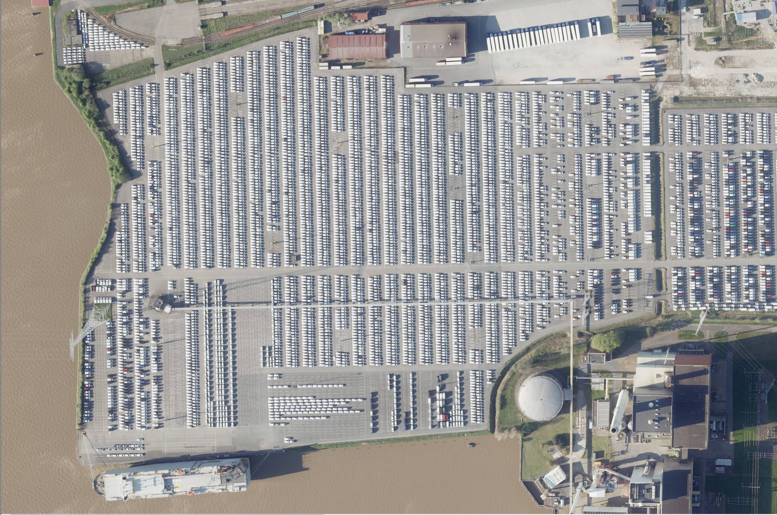
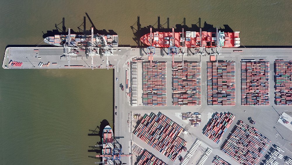
More than a thousand white rectangles can be seen on the open ground of Emden harbour. Whoever takes a closer look can recognise precisely parked cars wrapped in white protective covers waiting to be…
The Dortmund electrical power transmission operator Amprion GmbH will soon have a further long power line: the direct current connection “A-Nord” from Lower Saxony to the Rhineland. Hansa Luftbild AG…
 mit Hochspannungsleitung (violett)")
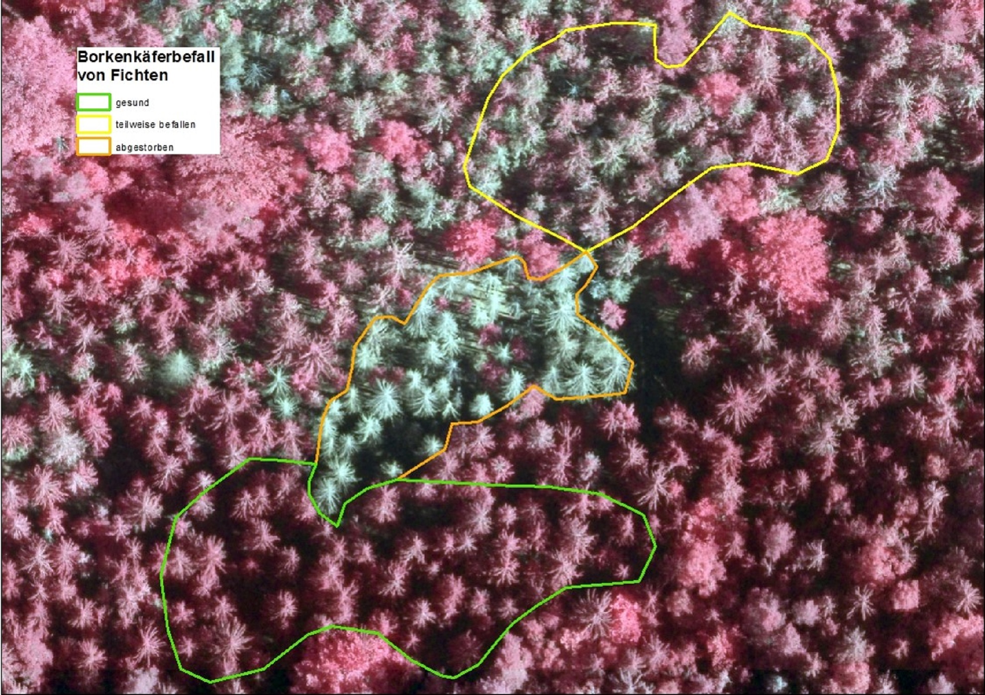
On first glance what appears to show a normal forest, on closer examination reveals severely damaged trees. High resolution aerial photos reveal the extent and details of this catastrophe.

Whoever believes that members of the flight department have an easy job are fooling themselves. Pre and post flight there are many details to be attended to and sorted out, and many applications and…
Aircraft which have been modified for aerial survey normally have one opening in the cabin floor. The opening is used to capture information about the earth’s surface using devices such as digital…
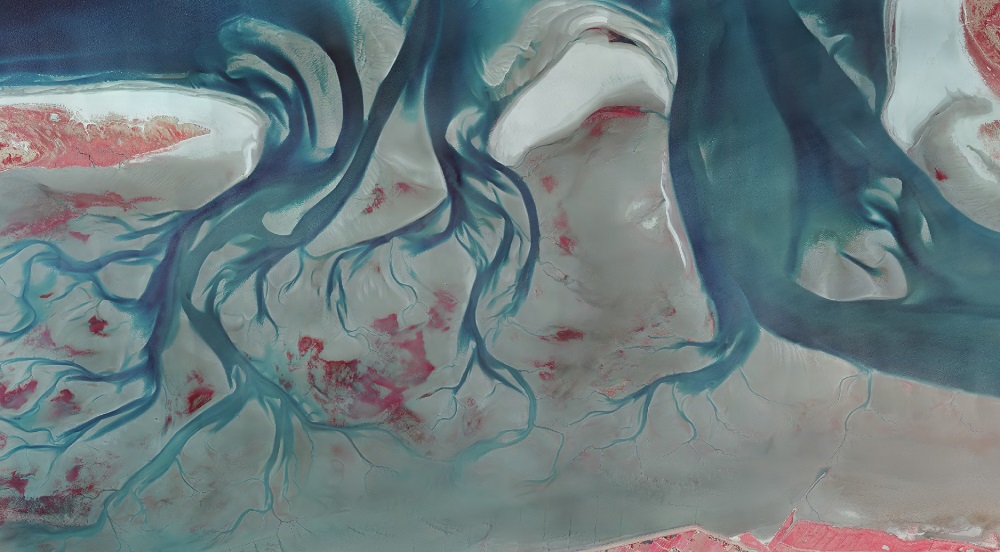
Anyone who is familiar with the mud and sand flats of the Netherlands, Germany and Denmark often on first impression considers them to be a grey-brown, hostile to life, scarcely changeable landscape.…

Fifty years ago UNESCO established Earth Day to raise awareness of environmental pollution, overconsumption, and value of the natural resources of the world. Hansa Luftbild has taken this occasion to…

The situation at present has facilitated conditions for tracking aerial survey aircraft. Restrictions imposed due to the Corona pandemic have resulted in less air traffic. Apps such as Flightradar24…
 und Flugdurchführung (rechts)")
A contract which has many applications and specific goals: a strategy pursued by Darmstadt in Hessen. A data collection covering 7,100 ha of urban area has recently been created. The collection will…

The CEO of Hansa Luftbild AG Mr. Joerg Haupt has released an official statement concerning the impact of COVID-19 on Hansa Luftbild operations.

For many years bremenports has been making use of Hansa Luftbild’s web based GIS “Expermaps” for the management of their spatial data. Recently its functionality has been extensively expanded.

The River Schwarze Elster in Brandenburg has recently been subject to close examination. In summer 2019 there were problems with extremely low water levels which at the same time offered the…

With our new website you can now find out even better and faster about our products and services. Learn more about current developments in our company and the worlds of geoinformation, software…
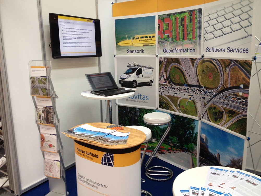
At Intergeo 2019 in Stuttgart from 17 to 19 September Hansa Luftbild AG will present new and proven information, sensor technology and software development at Booth F1.050 in Hall 1.
Hansa Luftbild expert Dr. Jürgen Schulz reported on the „Day of Forest Owners“ about our current geoinformation technologies, e.g. the monitoring of bark beetle damage. The association day took place…
Hansa Luftbild AG will once again be present with trade fair stands and lectures at numerous trade fairs and events in Germany and abroad this year.
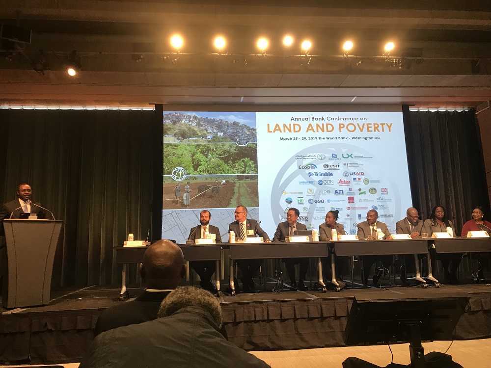
At this annual World Bank conference on land and poverty Hansa Luftbild presented a land administration system which has been developed for the Ethiopian Ministry of Agriculture. The National Rural…
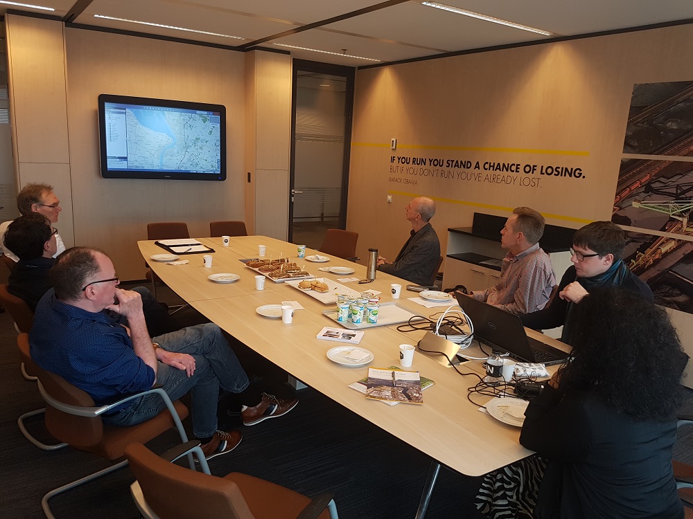
At the invitation of the Port of Rotterdam, representatives of Hansa Luftbild and the port operator bremenports GmbH visited the port administration of the Dutch Port of Rotterdam in Rotterdam at the…
Also in 2018 and 2019 Hansa Luftbild has and will again carry out unusual and challenging aerial flights. Last year, for instance, the cities of Erlangen, Darmstadt, Koblenz, Pforzheim, Fürth and…
Battling heavy water in the North Sea, one of the world’s largest container vessels lost around 300 containers on January 2. “MSC Zoe“ is currently being partially discharged in Bremerhaven, inspected…
The consequences of global climate change are obvious – irrespective of a cause assignment: Forest fires of unknown magnitude, months of drought combined with heat, subsequent low water levels in…