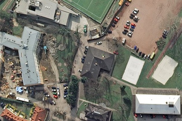
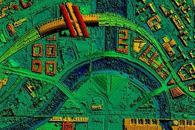
Hansa Luftbild has carried out a combined airborne LiDAR and aerial survey of the science city of Darmstadt. The aerial images have a ground resolution of approximately 3cm (for the orthomosaic they have been scaled down to 5cm pixel size), and the LiDAR data a density of 10 points per square metre. The LiDAR survey has yielded 710 million laser points in which there is one height co-ordinate and two position co-ordinates. Accuracy is 10cm.
The following products were generated from the data:
- digital orthomosaic
- 7 object classes
- digital elevation model at 25 cm interval and contour lines with 50 cm intervals
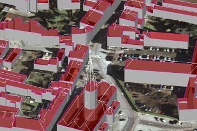
- vectorised 3D building inventory for 28,000 structures derived from eaves and roof ridges
The orthophotos were projected over the terrain model so that the relief displacement appears in 3D.
The detail in the vectorised city model corresponds to a LoD 2 (Level of Detail) that is it shows the exterior outline and roof structures of the buildings. The texture of the facades was not captured due to cost and time considerations.
The 3D city model was generated automatically. The model was then further improved with post-processing manual editing. This was necessary for example to fill-in digital gaps in the buildings, to smooth out ridge and eave lines and to complete missing sections of buildings. Minor post-processing was carried out for supplementary detailing of roof structures or projecting balconies.
With this compromise the survey authority for Darmstadt has made available a vectorised city model that is sufficiently accurate and geometrically detailed for many different applications:
- Air and noise pollution prognoses
- Environmental protection
- Wireless network planning
- Simulation modelling for heavy rainfall
- Catastrophe planning and protection
- Analysis of visual safety / visibility for traffic
- City and construction planning
- Simulation of city lighting
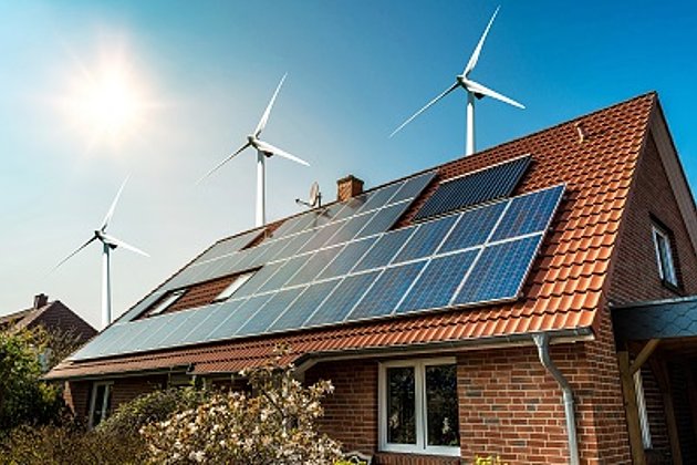
- Analysis for solar energy planning and potential
- Simulation of various scenarios within the city
- Tourism and marketing
Creative ideas and brainstorming - Darmstadt would like the data to be further investigated for other potential applications and uses.
We invite you to contact us: