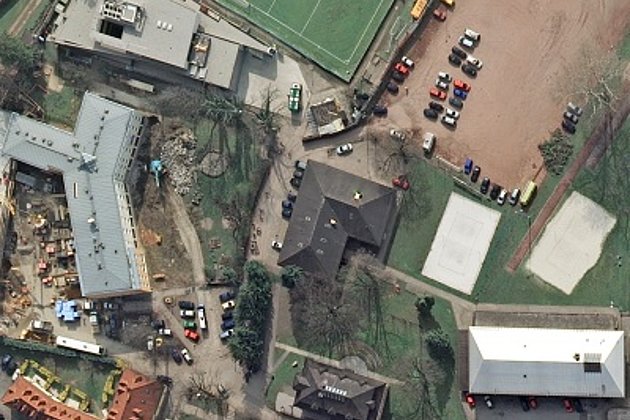
The UltraCam Eagle M3 allows Hansa Luftbild enormous flexibility in terms of flight altitude and ground sampling distance (GSD). “For precise evaluations, we capture a GSD of 10 cm from an altitude of 2,500 meters. This is particularly important in the densely populated areas of Europe, also because of air traffic control and environmental issues,” explains Haupt.
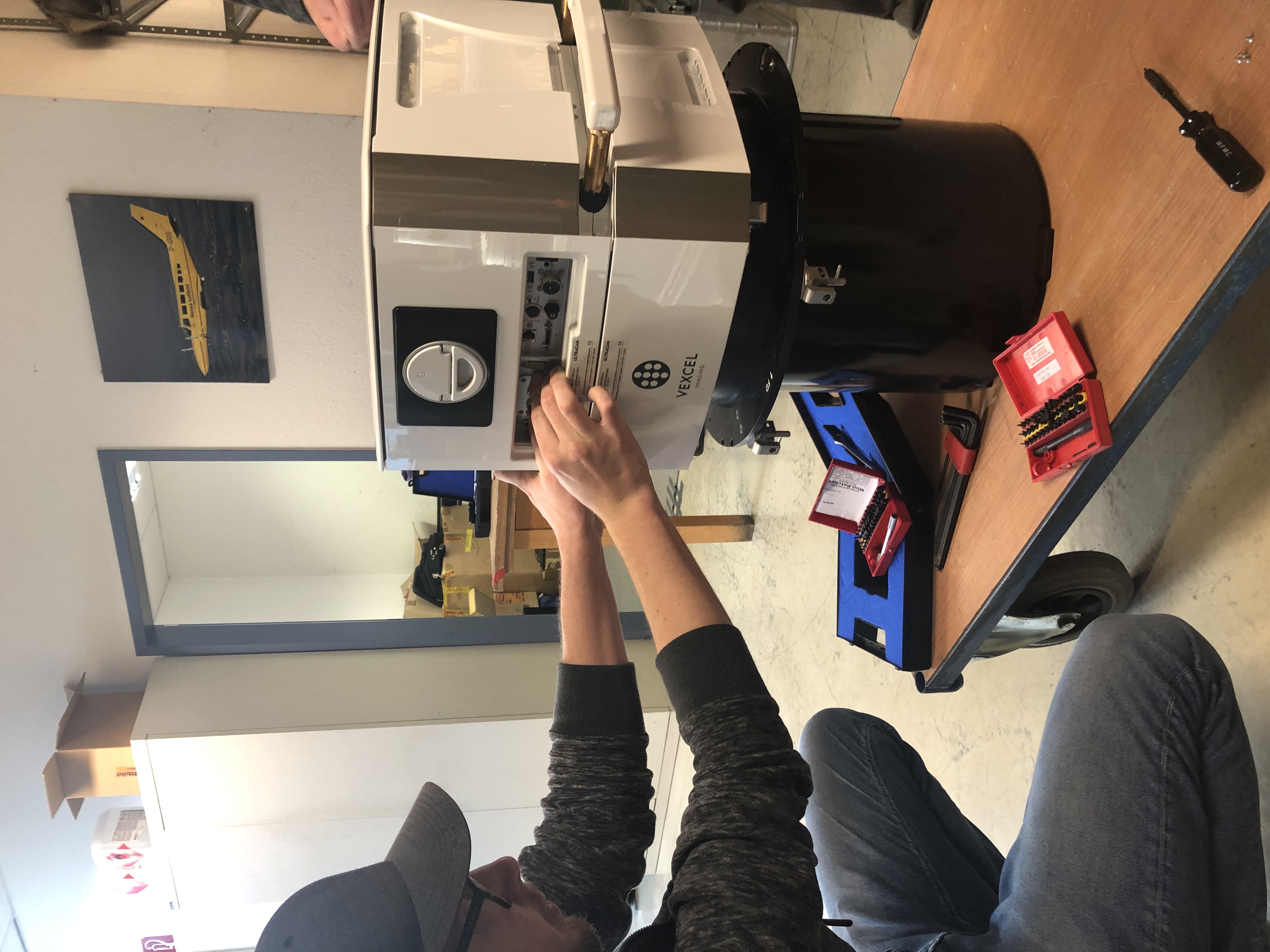
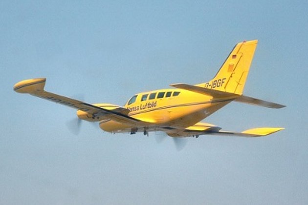
Getting the UltraCam Eagle M3 ready for the flight
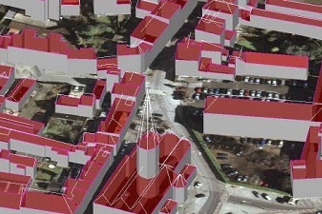
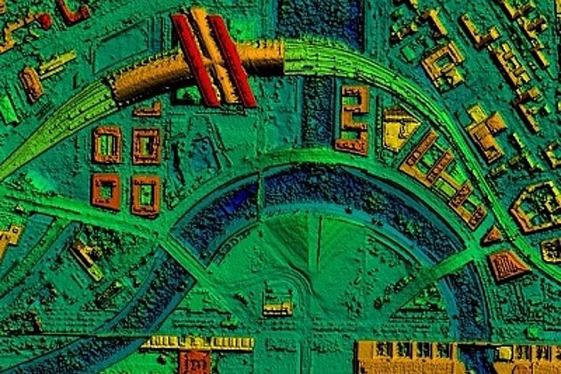
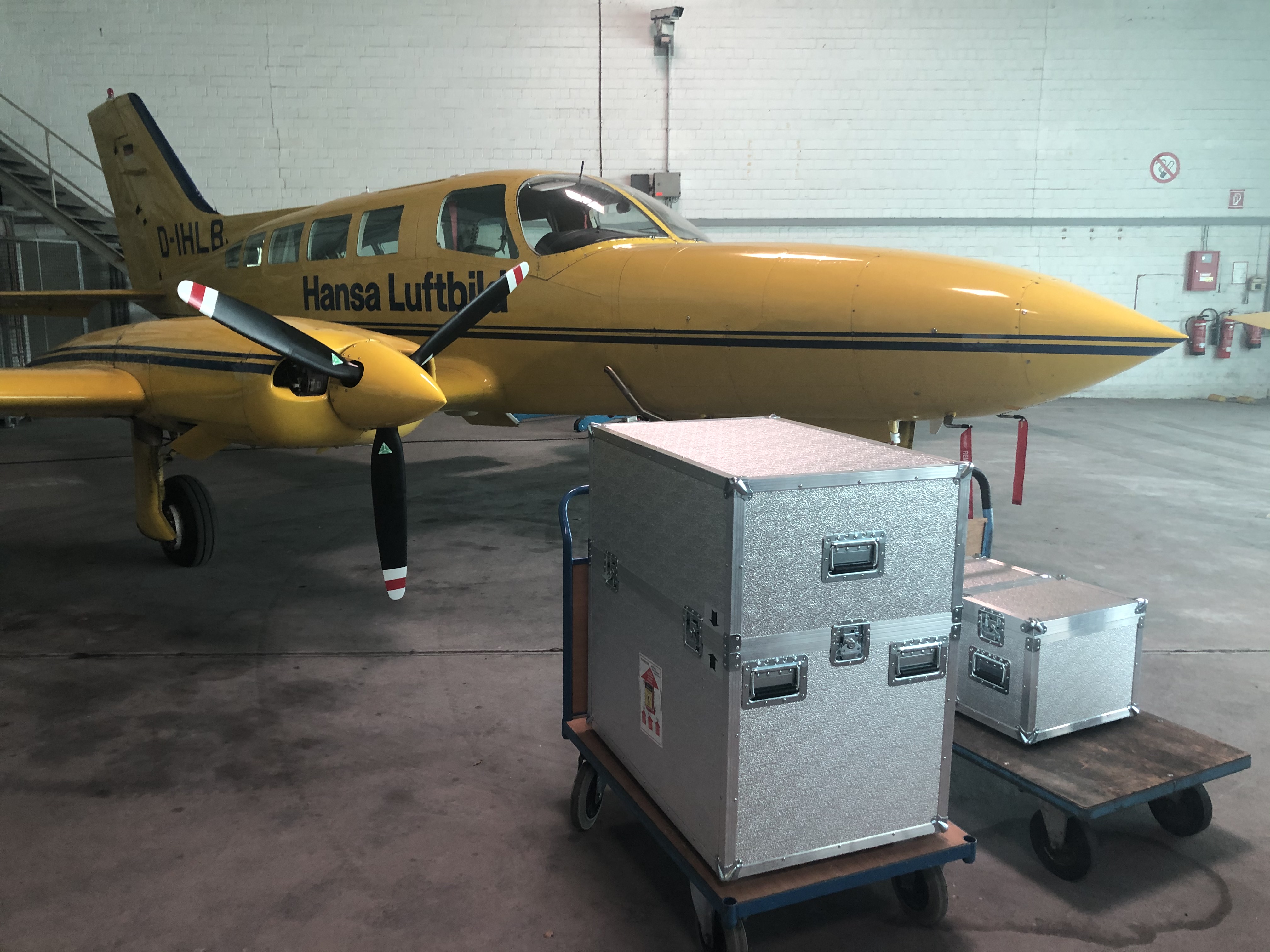
Hansa Luftbild has been relying on cameras from Vexcel Imaging in Graz for almost a decade. With the UC-Xp, the Eagle M1 and M2, hundreds of thousands of square kilometers were “photographed” in Germany and abroad, and digital terrain models, (true) orthophotos or 3D city models were delivered to customers.
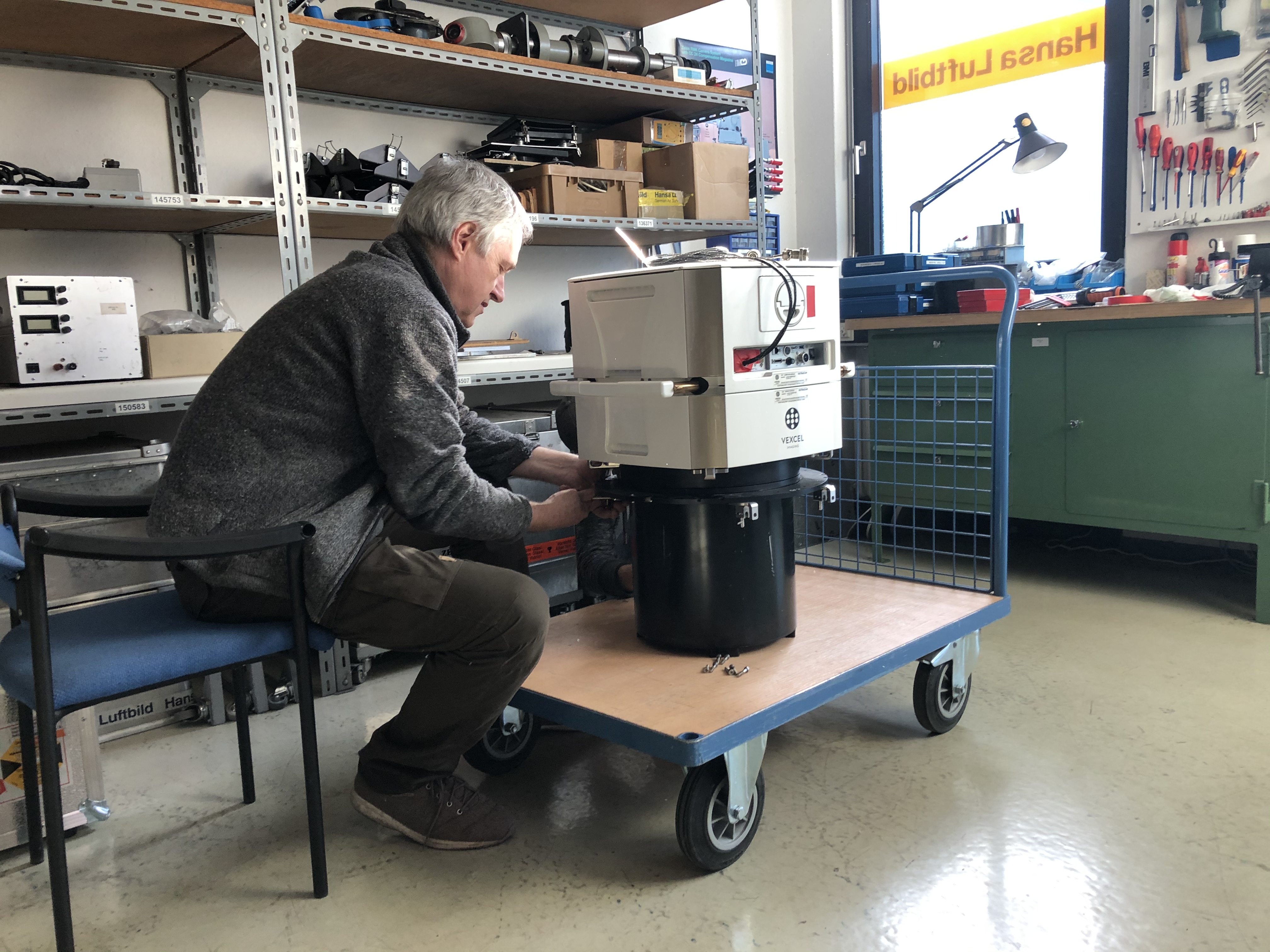
Maintenance work on the Vexcel UltraCam Eagle M3 camera
Vexcel Imaging succeeded in further developing the applied electronics. Thanks to new technology, the UltraCam Eagle M3 attains a radiometric resolution of more than 7,500 gray values by having a pixel size of 4.0 µm. The pan-sharpening ratio of 1:3 and an SNR of >72 dB achieves amazing radiometric results. The so-called “Image Footprint” has also been further increased compared to the previous model. The UltraCam Eagle Mark 3 generates a high-resolution 4-band image (RGBI) with a pixel size of 26,460 x 17,004. The area captured on the ground depends on the flight altitude. With a ground resolution of 10 cm, an area of 2.6 km x 1.7 km can be mapped. Together with the forward motion compensation (TDI), the gyro-stabilized mounts from SOMAG (Jena), the proven GNSS / INS systems from IGI (Kreuztal) and their double-chamber survey aircraft, Hansa Luftbild AG is able to literally fulfill every customer requirement.
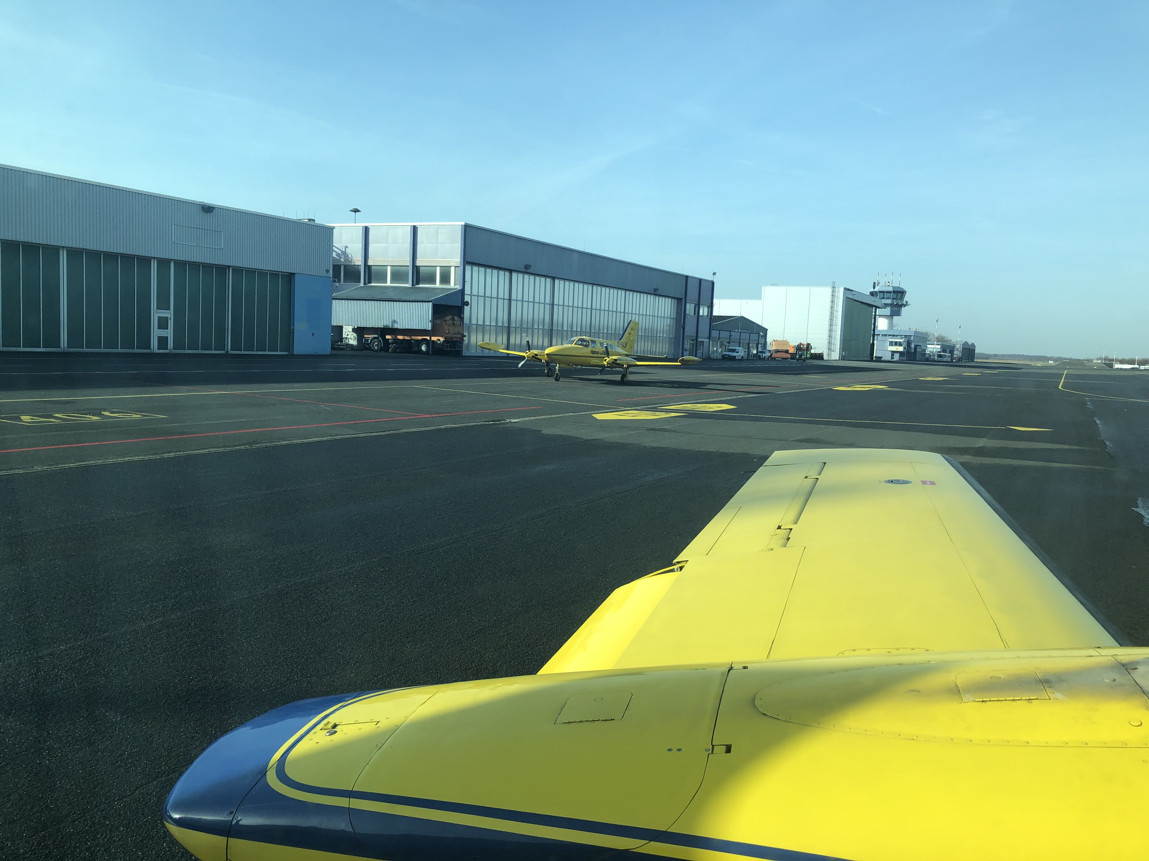 Start of the first flight in the new season
„Thus we can fly quickly, economically and flexibly even over very large areas for our customers,“ adds Jörg Haupt.
Let's join together in welcoming our new crew member
Contact our marketing and sales department:
- by E-Mail or telephone +49 (0)251 2330-900