Your advantages and our services
- An efficient system developed in co-operation with tree register experts which emphasises the optimisation of your operating processes.
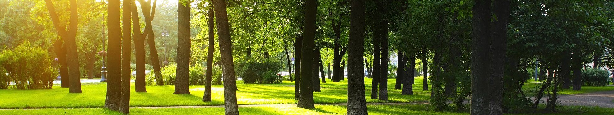
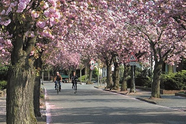
- Complies with traffic safety and legal requirements in accordance with tree safety guidelines of the FLL.
- Seamless planning, organisation, documentation and checking for tree maintenance.
- Mobile on-site data capture using tablets with Android.
- This solution is completely based on open source products eg PostgreSQL for databases or GeoServer for the provision of OGC compliant data.


Ralf Sembritzki
Sales
+49 170 9690289 | E-Mail
Download
2-page flyer (German):
ExperMaps Baum
2-page flyer:
ExperMaps
1-page article (Business Geomatics 8/19, German):
Baumkontrolle mobil und offline
News
Again at Intergeo!
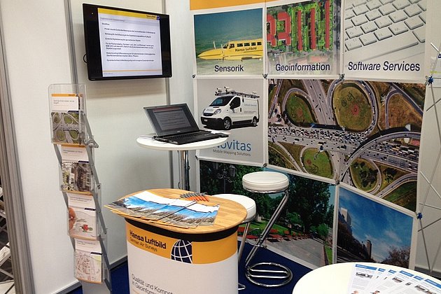
At Intergeo 2019 in Stuttgart from 17 to 19 September Hansa Luftbild AG will present new and proven information, sensor technology and software development at Booth F1.050 in Hall 1.
 17.06.2019
Trade Fair Participation 2019
Hansa Luftbild AG will once again be present with trade fair stands and lectures at numerous trade fairs and events in Germany and abroad this year.
INTERGEO 2018: VISIT US IN FRANKFURT
The experts - and Hansa Luftbild - are back in the starting blocks for the leading event for geoinformation, land management and geodesy: the INTERGEO 2018.
The trade fair will take place from 16 to 18 October in the Frankfurt Exhibition Center. Once again, Hansa Luftbild, EFTAS, i. and Moskito will present their concentrated know-how for GeoIT at booth 12.0C.016 in hall 12.0. This year's focus of Hansa Luftbild is on road conditions review, pavement management, the extended ExperMaps and the…
 03.07.2017
Neue zertifizierte Baumkontrolleurin
Baumkataster und Baumkontrollen sind Themen, mit denen Hansa Luftbild sich seit den 70er Jahren beschäftigt. Gleichzeitig gehört Hansa Luftbild zu den ersten Unternehmen weltweit, die das Potenzial der neuen Luftbildtechniken erkannt und erfolgreich eingesetzt haben. Viele Millionen Bäume wurden und werden seitdem von unseren Mitarbeitern und Mitarbeiterinnen in Deutschland und im benachbarten Ausland erfasst und bewertet. Umso mehr freuen wir uns, dass unsere Mitarbeiterin Frau Kerstin…