und Flugdurchführung (rechts)")
At present Hansa Luftbild is carrying out many helicopter and plane flights daily, from morning to evening, also on weekends and public holidays, in order to meet client requirements. Limitations on movement as imposed by the corona virus have not affected Hansa Luftbild ability to complete its orders. Flight missions are primarily dependent on weather, the position of the sun, and flight safety considerations, all of which can preclude flying at a particular time or in a particular region. At the same time agreed time frame for the flight must be taken into consideration. At the same time the conditions imposed by the coronal epidemic, technical considerations, contract specified fitting of the sensor system, the choice of overnight aerodromes for missions of more than a day’s duration, rest periods for the flight crew and the security of large amounts of data all play a role.
Therefore the flight crew usually have more than one flight plan in order to remain flexible in the face of such occurrences as unexpected cloud cover or flight permission not being granted or delayed.
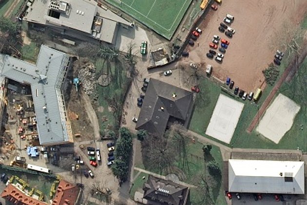
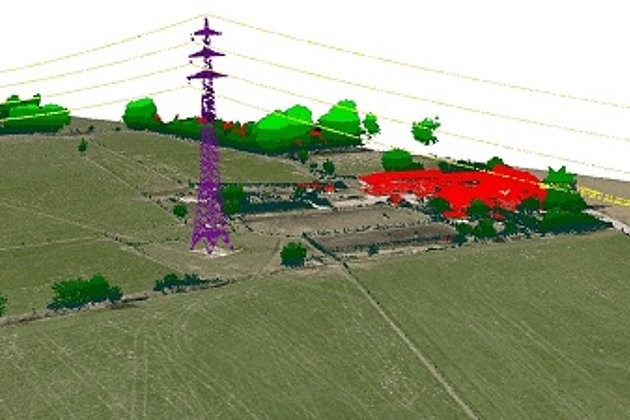
At a technical level survey flights follow the routes of infrastructure surveyed in the case of power lines, pipelines and rail tracks. In surveying large areas such as cities, administrative districts or federal states survey flights are carried out in parallel flight strips which lead to unusual patterns as often shown and commented on in social media.
Aerial photos for surveying often have a very high overlap so that a high number of images and flight strips are necessary, even in order to cover a relatively straightforward area. And increased demands for accuracy, higher resolution and denser point clouds, demand a lower flight altitude and thus more flight strips; even when using identical sensors.
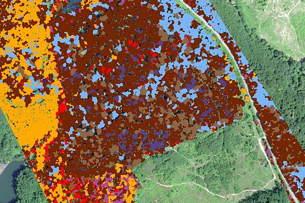
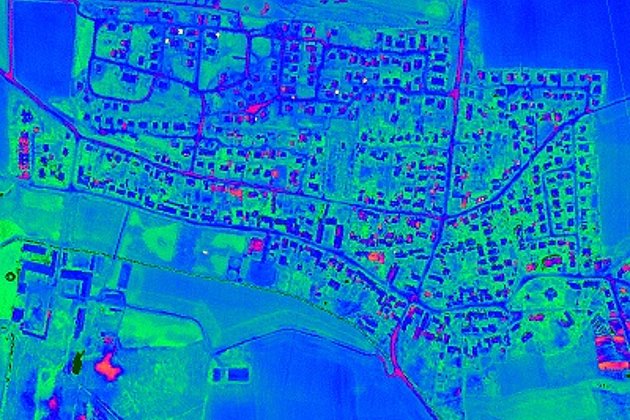
The captured airborne data once processed, compiled, restituted, classified and documented can fulfil many different requirements. Therefore any aerial imagery, laser scanned data and results from these are usually made the property of the client.
Our specialists can be contacted at: