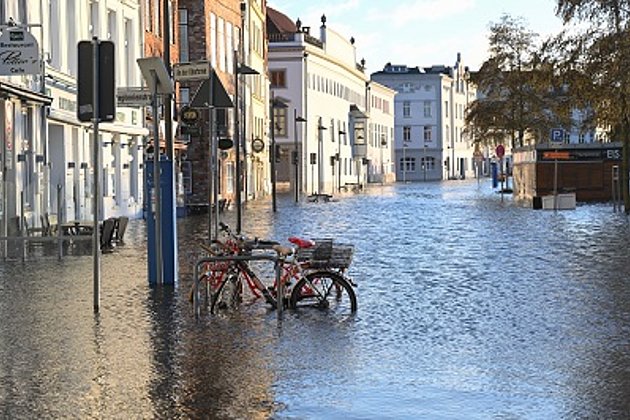
The fast and targeted documentation of damage is of greatest importance to those affected, municipalities and insurers. However, especially medium- and small-scale loss events often do not receive the desired attention from the satellite operators. This is where Hansa Luftbild with its possibilities of photographic or laser scan documentation and expert data analysis joins the game.
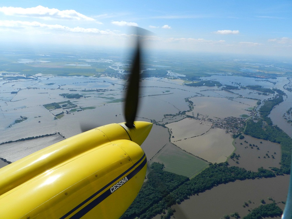
Especially in the documentation fast response and large capacity are required, not to mention the right technology. Depending on the event, aerial photography, LIDAR data or combined acquisition techniques may be beneficial. The same applies to the aircraft: airplane, helicopter or drone? Or for the question: fly high or very low under clouds (for example, to detect a flood peak). The concept has to be right and it’s best to already exist as a framework!
The subsequent preparation of the remote sensing data is then no longer time-critical. The scope of the evaluation and data preparation to be made, the type and scope of the required expert report can then be harmonized, defined and commissioned. Reference data acquisition at or shortly after the date of documentation must be observed: this includes e.g. control points, video surveys, on-site photo documentations or terrestrial surveys to enhance verification of remote sensing data.
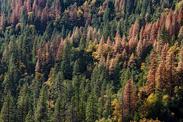
From aerial surveys, to supplementary and reference data procurement, to the final report: Hansa Luftbild has the right technology and competent personnel to handle all types of damages. Whether forest damage by storm, water, fire, bark beetle or industrial emissions, whether mining consequential damage, high or low water. We are your competent partner!