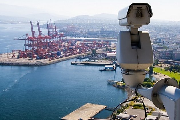
Approximately 7,500 cargo vessels are loaded / unloaded in Bremen and Bremerhaven Port annually under the management of the federal two-city state of Bremen. Bremen Port (bremenports) belongs to the thirty largest ports in the world and is the second largest port in Germany and the fourth largest port in Europe after Rotterdam, Antwerp and Hamburg.
An alphanumeric system for the administration of data is not sufficient for a port of this size. In addition to the commercial and logistical organisation of operations, technical information to support ongoing decision making, about infrastructure, maintenance, environment, transport safety monitoring, and further development of the port is also required.
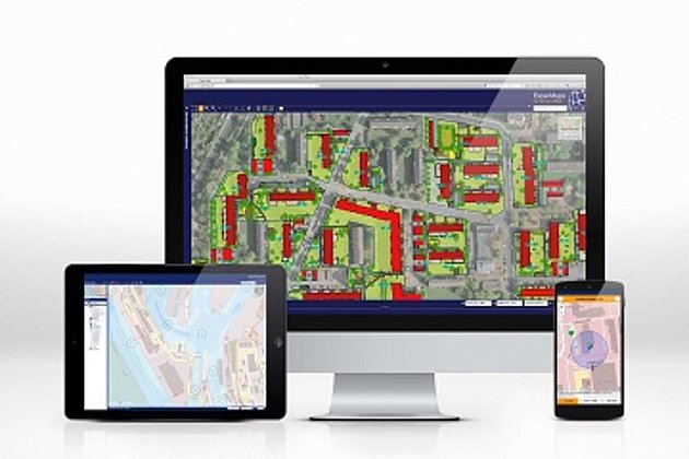
Bremen Port recognised early on that engineers and technicians prefer a geo-coded system based on cadastre and orthophoto data for the purposes of information, queries, and decision making. So daily successful use is made of the web-based Hansa Luftbild geo-information system “HafenGIS”. The system’s straightforward and swift access to required data has convinced all its users.
As an example HafenGIS queries can return graphic representations of water depth and property, as well as retrieving document information and other geo-data. The data portal, which is based on Hansa Luftbild’s open source WebGIS “ExperMaps”, has recently had many functions added to it as reported by Bremen Port in “Logistics Pilot” in December 2019 (page 6). Of absolute importance for Bremen Port is “an expansion of this profile tool, which allows sections of terrain to be generated interactively on the basis of LiDAR data.”