Land Administration
Urban expansion, growing populations and climate change pose enormous challenges to policy makers, national economies and their societies. Innovative land management systems are needed “to maximize the economic and social benefits from the land while maintaining or enhancing the ecological support functions of the land resources” (TerrAfrica 2005). With its extensive experience in aerial survey, digital mapping and GIS, Hansa Luftbild fully understands these challenges and the approach needed to develop integrated land information systems.
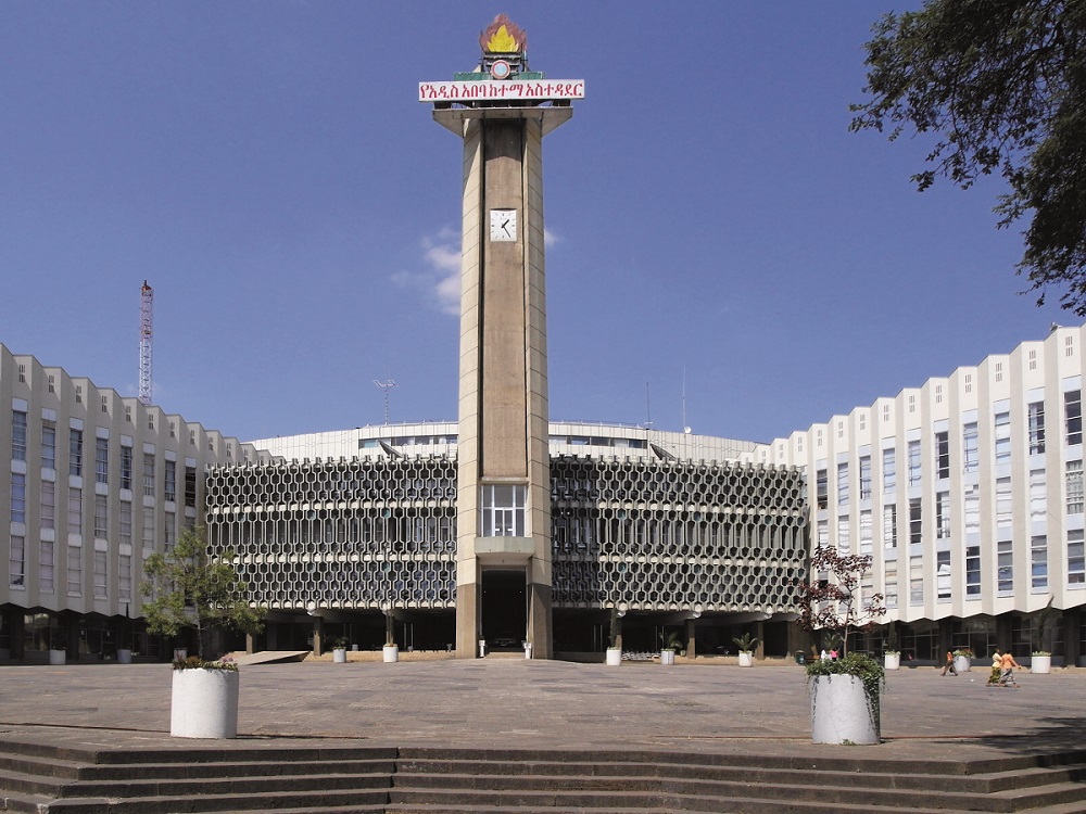
Cadastre Solution for the Ethiopian Capital
In 2009 the Addis Ababa City Administration decided to deal with urban land management problems, such as informal property settlement, land encroachment and inadequately secured land records, which were hindering the city’s further development.
As a result, Hansa Luftbild was contracted to establish a modern property registration and land information system, on the basis of efficient business processes. The contract included supporting the setting up of a real property registration agency, and drafting the necessary legal framework.

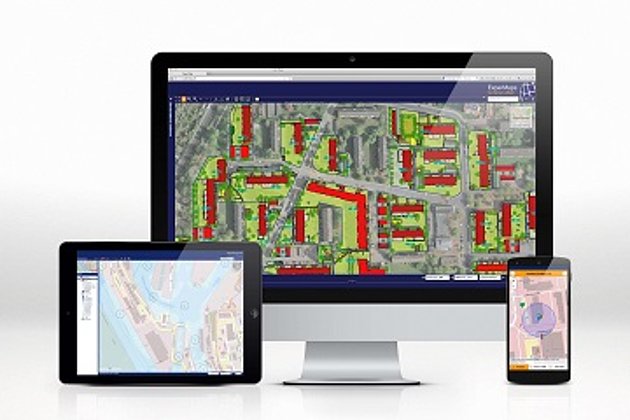
A major part of the project was the development and implementation of a technical infrastructure to support cadastral processes. The system incorporates the principles of FIG Cadastre 2014 and implements a data model which is derived from the ISO Land Administration Domain Model (LADM). To meet the specific requirements of the local cadastre administration, Hansa Luftbild applied a service oriented architecture (SOA) based on industrial standard components like Oracle Spatial, Bentley Map, Microsoft’s ASP.NET and the Windows Communication Framework.
Abuja Geographic Information System
The government of Nigeria decided to implement a digital land information system for the national capital, Abuja. Prior to this, various attempts to reform the land administration had failed. This led to an unsatisfactory situation: mismatches in land use, confusing situations in land allocation, misuse of public lands and inefficient revenue generation and collection.
The project was supported by several consultants from Hansa Luft-bild who provided services in data modelling, software development, data capture, and the analysis of urban encroachment and of land use mismatches. The consultants also trained local staff and helped raise public awareness of the new GIS. Subsequently an organisation was established to provide all land and mapping related services. In establishing the organisation capacity building and staff training was carried out. Simultaneous to this, Hansa Luftbild delivered and maintained the hardware and software.
World Bank Funded Project in the Ukraine
Hansa Luftbild was contracted to establish a new electronic cadastral system in the Ukraine. The project was contracted by the Ukrainian government and funded by the World Bank. The main objective of the project was land reform and the privatisation of the agricultural sector.
Hansa Luftbild delivered up-to-date aerial photos, digital orthophotos and digital cadastral index maps for the administrative districts of Sumy und Poltava (in total 52,580 sq km). The new land register contains information about location and exposure, boundaries, land use type, and the value and condition of the land parcels. This helped establish a competitive real estate market and sustainable land management in the Ukraine and ensured legal certainty and transparency for international investors.
Autark - Document Management for Cadastre Authorities
Cadastre is by nature a long-term system, for which over decades and sometimes centuries many useful documents are created. Protecting and ensuring the accessibility of these documentary records is one of the major responsibilities of a cadastre authority. Hansa Luftbild’s AUTARK is a software solution that allows cadastre authorities to archive their entire technical document collection and manage any related tasks.
AUTARK operates on different commercial off-the-shelf (COTS) document management systems, e. g. SAPERION. All types of documents for the cadastral domain can be indexed, retrieved and distributed to internal and external clients. Additionally, the system provides several web service interfaces for integration into existing cadastral systems. Hansa Luftbild has established the system successfully in different countries, e. g. in Algeria, Jordan, the city of Hamburg and the German federal state of Saxony-Anhalt.
Related Services

Aerial Surveys & Orthophotos
The basis for every GIS, for digital surface models, for every cadastre, for every query.

Unmanned Aerial Vehicles
Our drones are suitable for small objects, highest depth of detail and difficult to access areas.

International Consulting
Organisation & company with international geo-focus looking for partner: Hansa Luftbild speciality since 1923

Development
Software projects based on MicroStation, GeoMedia, Oracle and Open Source components
Contact

Tarek Zein
Sales / Geo Consulting
+49 172 5331940 | E-Mail
Download
4-page flyer:
Sustainable Land and Property Management
1-page flyer:
ITS4LAND Land Administration Toolbox


