We deliver precise information for the planning, running and monitoring of infrastructure and accurate documentation of plant and equipment. Our ability to make precise surveys also helps in the search for optimal locations for new pumped-storage hydroelectric power stations. Areas from 4 hectares and up can be surveyed cost-effectively with LiDAR. The preparation phase is minimal, and seldom requires more than 72 hours.
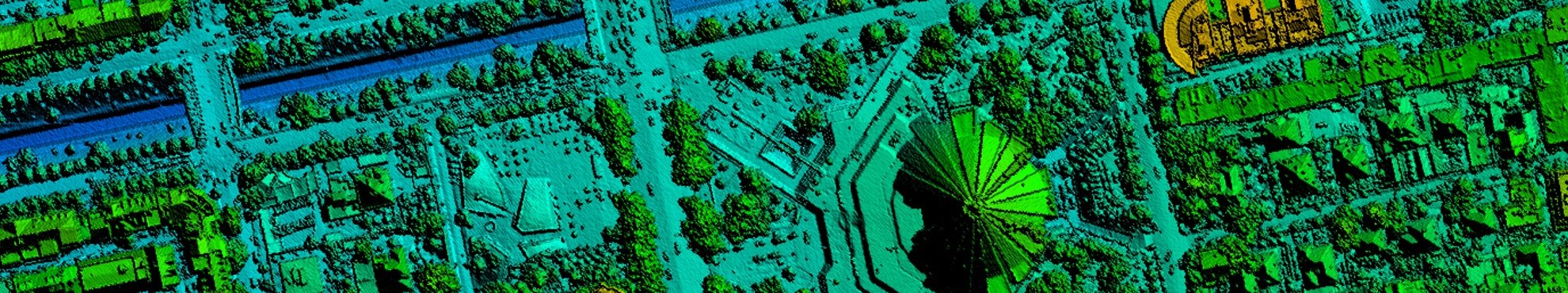
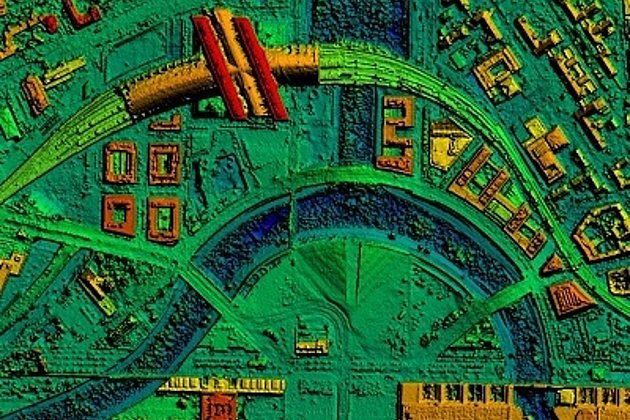
On the basis of 3D data city planners can establish noise control cadastre, and develop more efficient means of urban land utilisation. Floodwater safety and monitoring measures can be established and improved on the basis of precise data about the course of rivers, the movement of coastal waters and the current condition of dykes. Such data can be delivered cost effectively and in an efficient and timely manner.


LiDAR technology facilitates high-precision, and swift capture of large areas including those locations which are inaccessible due to being covered in dense vegetation or heavily forested. Simultaneous survey by laser, aerial images and videos saves time and money in comparison to ground survey methods – as does the subsequent data extraction, processing, and information analysis. Dense LiDAR point cloud data, and high resolution aerial imagery (resolution less than 5 cm) is highly accurate and cost effective, by comparison with other remote sensing data.
Advantages of our Services
- Over 90 years experience in aerial survey and image processing
- Three aircraft guarantee flexible and reliable aerial surveys
- Aerial survey is increasingly showing itself to be cost effective in the acquisition of geodata
- Innovative solutions and individualised consultancy services
- Wide range of products (aerial imagery, LiDAR, hyperspectral imagery)
- Advanced range of services eg local authority cadastre (green space, streets, trees, sealed surfaces etc)
Related Services

Aerial Surveys & Orthophotos
The basis for every GIS, for digital surface models, for every cadastre, for every query.
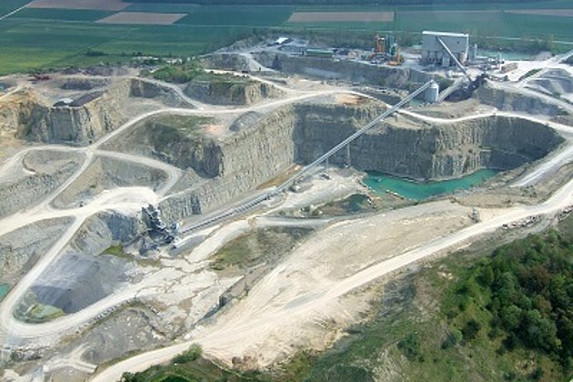
Mining and Commodities
Soil management for planning & monitoring of mines & landfills: remote sensing - surveying - GIS - consulting
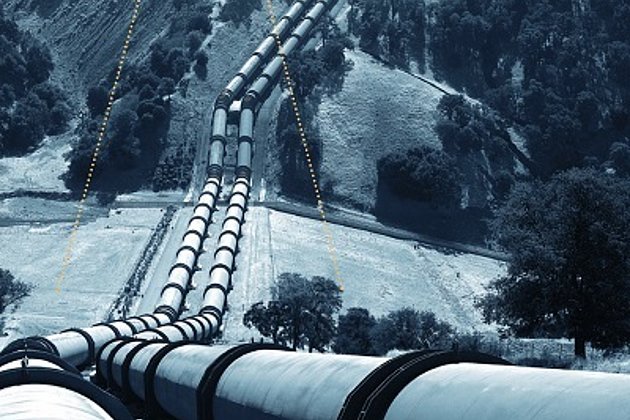
Airborne Corridor Mapping
How to plan, document, measure and monitor pipelines, overhead lines, railways and roads

International Consulting
Organisation & company with international geo-focus looking for partner: Hansa Luftbild speciality since 1923
Surface & Terrain Models
3d models of topography, objects and surfaces - made for visualisation and simulation
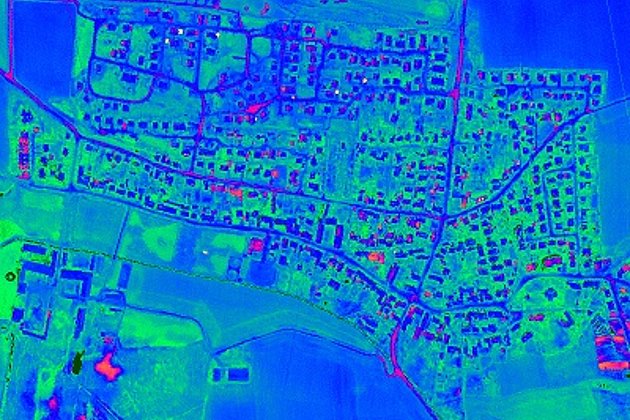
Aerial Thermal Imaging
"Thermal imaging cameras" visualize temperature differences: for pipeline leaks, climate reports, heat losses.

Downloads
4-page Flyer:
Aerial survey and aerial image processing
4-page Flyer:
Pipeline Life Cycle Management
Video:
Airborne Laserscanning - Corridor Mapping for pipelines (route planning for gas pipeline)
Video:
Airborne Laserscanning - Corridor Mapping for pipelines (monitoring of gas pipeline)
News
 04.06.2021
Event: Open Day Photogrammetry on September 7th and 8th, 2021 in Magdeburg
The OPEN DAY PHOTOGRAMMETRY is a live event that focuses on airborne surveying in a very practical way. “Hands-on photogrammetry” is the motto. The companies AVT, BSF Swissphoto, geoplana, Hansa Luftbild and GeoFly, as joint organizers and experts of the aerial photography industry, invite you to this very special event.