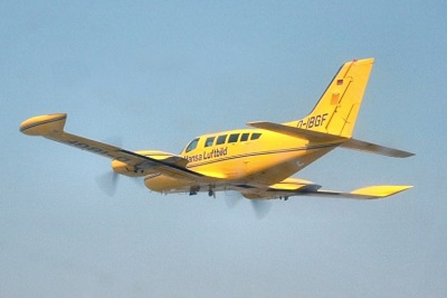
Airborne Thermal Imaging
Thermal imaging detects radiation in the infrared range of the electromagnetic spectrum and produces images of that radiation, called thermograms. Thermal imaging cameras convert the energy in the infrared wavelength into a visible light display.
The technique is often used for the detection of energy losses in buildings or to find defects in a city-wide district heating grid. The main advantage of airborne thermal imaging and thermal mapping is that temperatures over a large area can efficiently be compared.
Airborne thermography is suitable for a wide range of applications, like urban heat island mapping, environmental monitoring and vegetation health assessment or energy efficiency improvements.
Advantages of our Services
- Over 95 years experience in aerial survey and image processing
- Three aircraft guarantee flexible and reliable aerial surveys
- Aerial survey is increasingly showing itself to be cost effective in the acquisition of geodata
- Innovative solutions and individualised consultancy services
- Wide range of products (aerial imagery, LiDAR, hyperspectral imagery)
- Advanced range of services eg local authority cadastre (green space, streets, trees, sealed surfaces etc)
Related Services
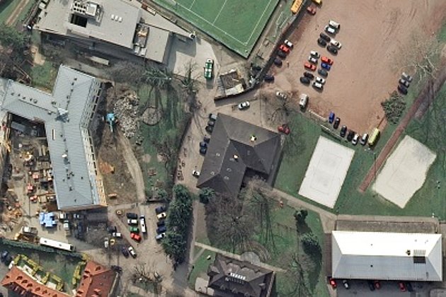
Aerial Surveys & Orthophotos
The basis for every GIS, for digital surface models, for every cadastre, for every query.
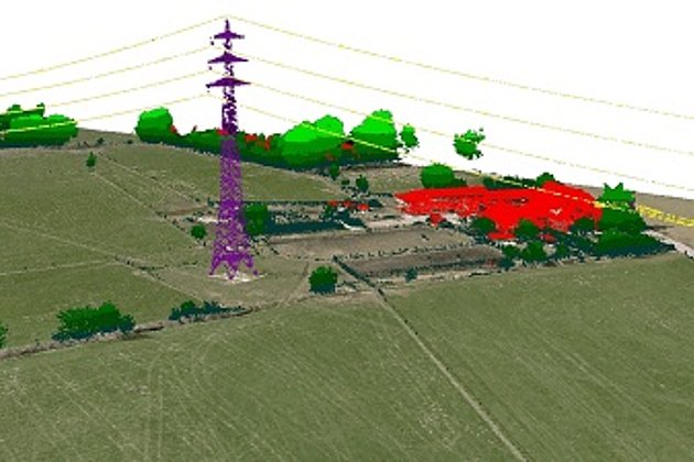
Light Detection and Ranging (LiDAR)
Dense point clouds are the basis for classified terrain and surface models of corridors.
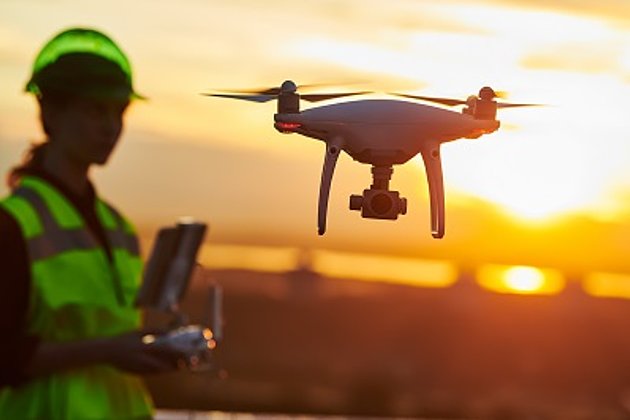
Unmanned Aerial Vehicles
Our drones are suitable for small objects, highest depth of detail and difficult to access areas.
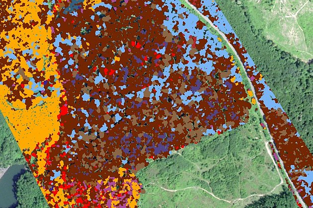
Aerial Hyperspectral Imaging
For analyses of vegetation and damage etc. a sensor records up to 300 colour channels.
Contact


Download
4-page Flyer:
Aerial survey and aerial image processing
News
 16.02.2021
Preparations are underway….
Although the weather at present does not look promising, and spring days seem far away, Hansa Luftbild is working intensively on preparing flight surveys and projects.


