Forest Damage and Forest Infrastructure
Analysis of remote sensing and geodata
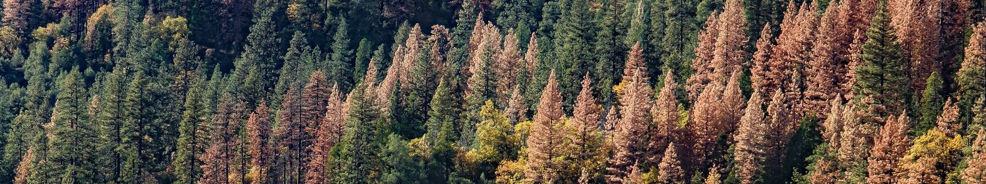
Everyone is talking about climate change and its effects: Our forests are damaged because they are severely affected by drought, heat, storms and air pollutants. For example, the populations of the forest pest bark beetle multiply explosively. In Central Europe, spruce stands and, more recently, beech stands have been hit particularly hard.
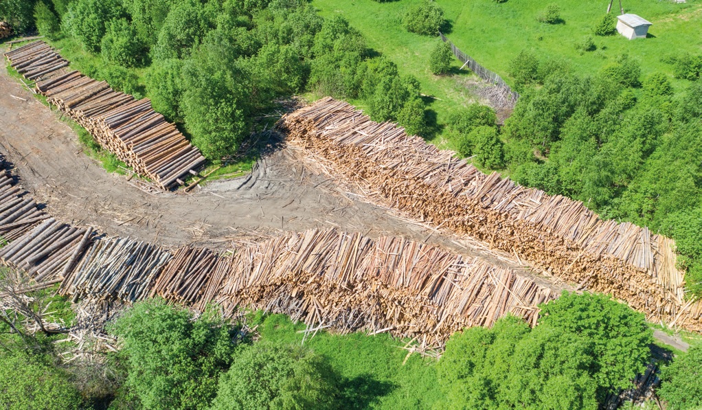
In large forest enterprises the overview is often lost due to the dynamic development of damage. This is why professional remote sensing is ideal for quickly documenting forest areas and evaluating the data. In addition to the localisation of infested areas, early damage detection and the appropriate forest infrastructure for the huge amounts of cuttings are also important.
The questions are: Where are stocks infested? Where is untreated deadwood? Where do tree stands weaken? Where are timber storage areas with good transport connections and wet storage capacity available and where can they be set up away from protected areas? And above all: how is the information available quickly and purposefully?
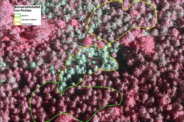
Documentation of damages
Large forest areas cannot be photographed fast enough with drones. An area of about 10.000 ha like the National Park Saxon Switzerland is captured by plane in one day..
Two sensor types can be used:
- digital camera that records visible and near infrared light, e.g. to make the vitality of vegetation clearly visible
- Hyperspectral system, which records reflected radiation with extended wavelength range and up to 600 colour channels for the most accurate differentiations (semi-automated). Standing and lying dead wood can already be identified, use for the early detection of vegetation damage is actually under research.
Data provision
The results of the analysis are provided as GIS data. If no system is available, our web-based information system "ExperMaps" helps: we host data and programs, you and your service providers use it. Low costs, easy handling and use without software installation: You know quickly and easily where to hurry, even when on the move.
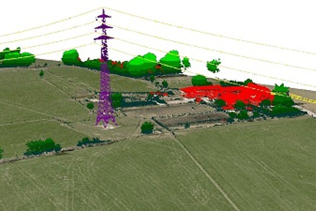
Forest infrastructure
Geo-information systems (GIS) are suitable for testing the requirements of nature conservation, leisure and wood logistics development systems. On the basis of remote sensing data and available spatial data, for example, our reports show where
- forest roads, water bodies and access to the public road network are already exist
- conflict potential exists between timber transport and storage as well as nature conservation, water management and leisure behaviour
- the forest infrastructure can be adapted..
The efficiency of the forest road infrastructure can also be investigated in view of the increased demands of technology and increased cutting quantities.
From this information we derive the usability of the development systems and the possibilities for their enhancement.

Advantages of our Services
- Everything from a single source
- Powerful technology and sensors
- According to VDI Guideline 3793, Sheet 3 for "Recording and monitoring of trees and forest stands based on digital aerial photographs
- Fast results
- More up-to-date than any forestry map
- Browser-based WebGIS "ExperMaps" with editing capability, for mobile use


Contacts

Ralf Sembritzki
Sales
+49 170 9690289 | E-Mail

News
 28.08.2020
A tough nut to crack for forestry
On first glance what appears to show a normal forest, on closer examination reveals severely damaged trees. High resolution aerial photos reveal the extent and details of this catastrophe.
 26.05.2020
Two cabin floor openings are better than one
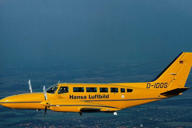
Aircraft which have been modified for aerial survey normally have one opening in the cabin floor. The opening is used to capture information about the earth’s surface using devices such as digital cameras or laser scanners.
Hansa Luftbild’s D-IDOS - a Cessna 404 Titan - is one of the few survey aircraft in the market which has two openings in its cabin floor. This allows clients to use two high precision remote sensors simultaneously during a single flight, saving both time and money.
 23.07.2019
Forest Owners informed about Bark Beetle Monitoring at the LIGNA-Trade Fair
Hansa Luftbild expert Dr. Jürgen Schulz reported on the „Day of Forest Owners“ about our current geoinformation technologies, e.g. the monitoring of bark beetle damage. The association day took place on the occasion of the world’s leading trade fair for woodworking and processing, LIGNA, and was very well attended, as well as the lecture.