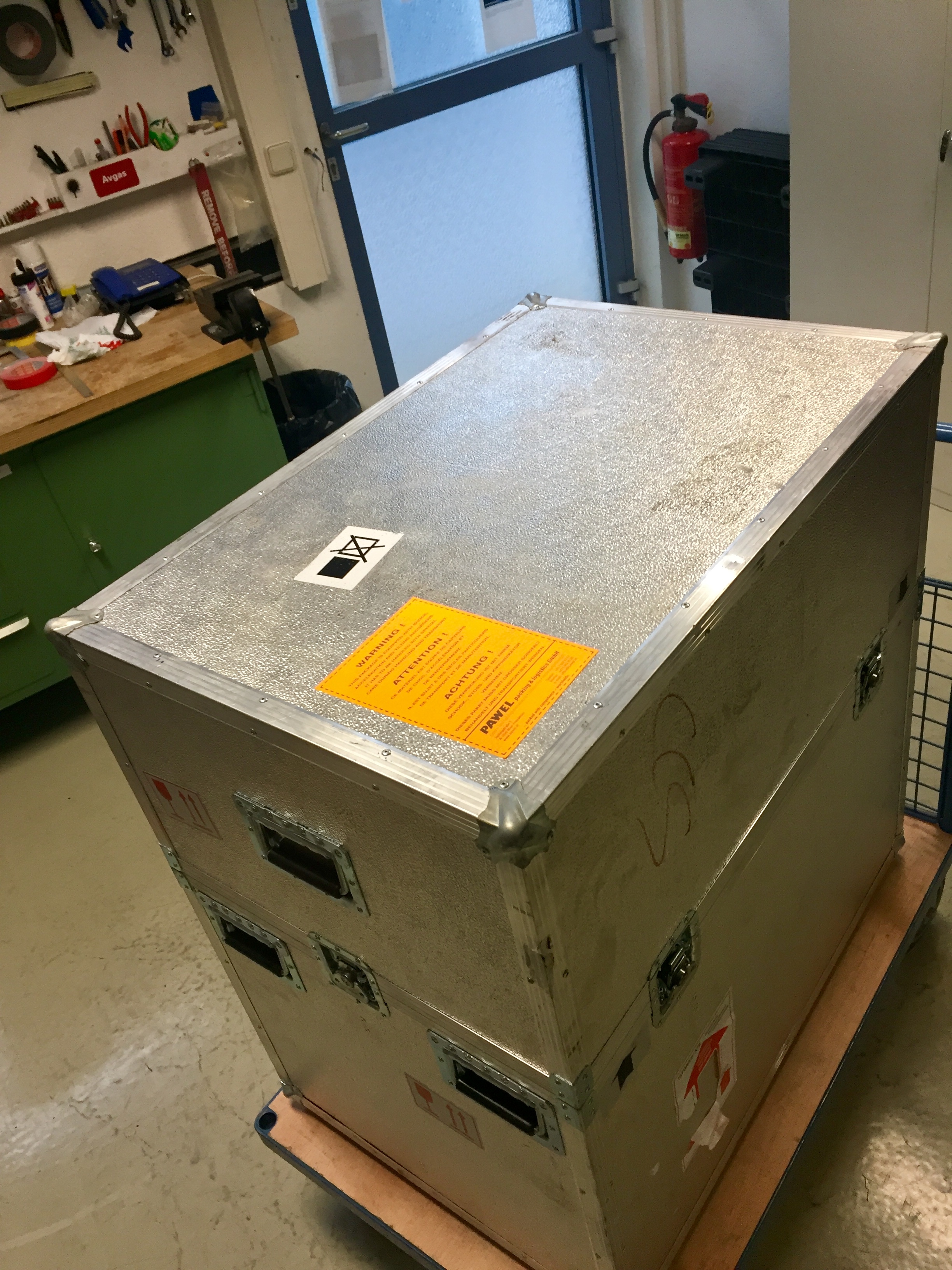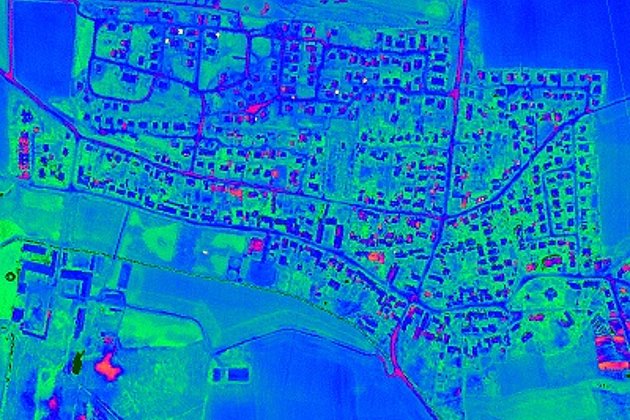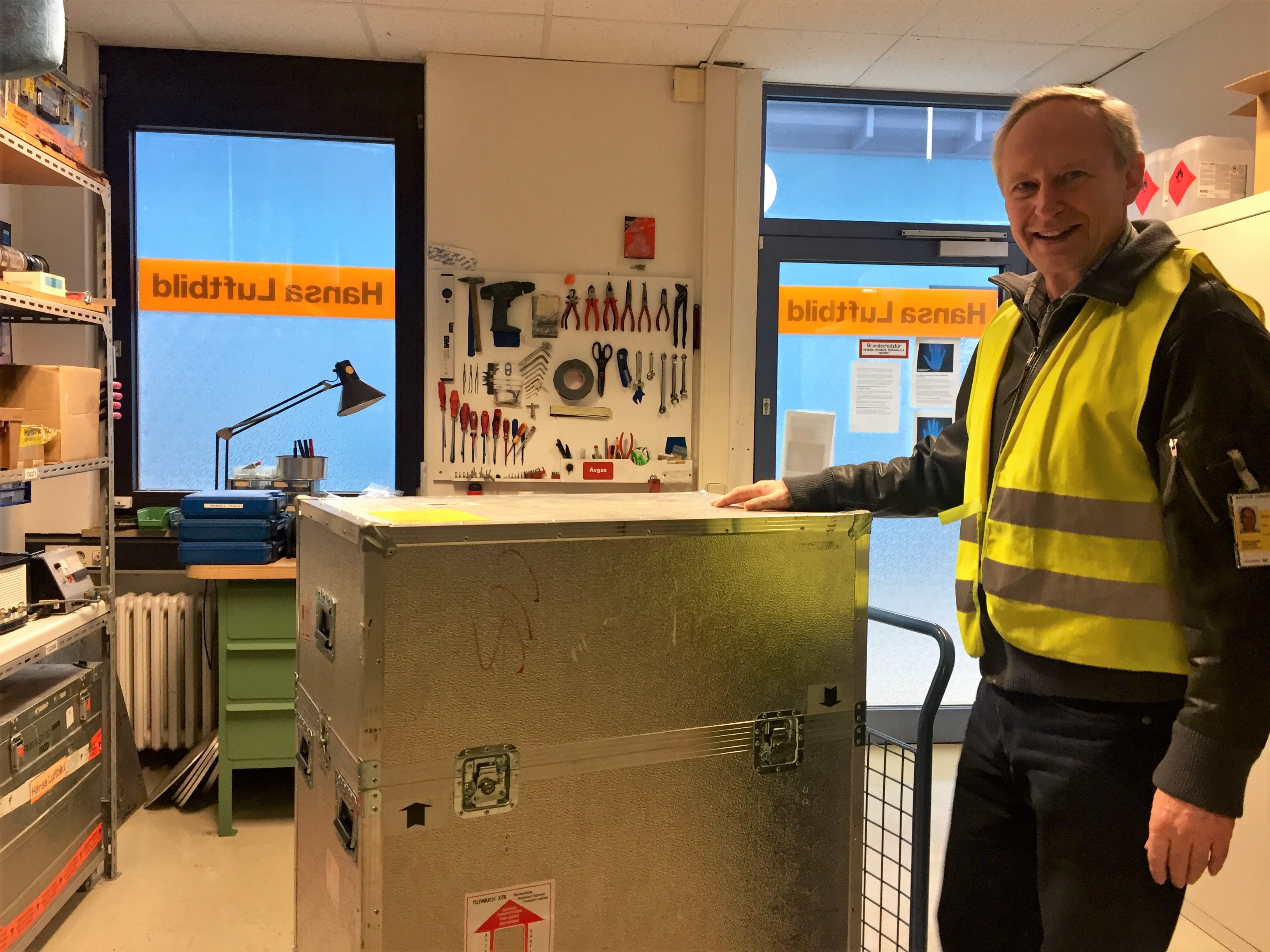
In winter our aerial surveys specialists undertake typical seasonal tasks such as flight planning, and survey aircraft maintenance. In addition thorough checks of all our technical equipment are carried out by the respective equipment manufacturers. Cameras, LiDARs and GNSS/IMU components are calibrated in their manufacturers’ laboratories.
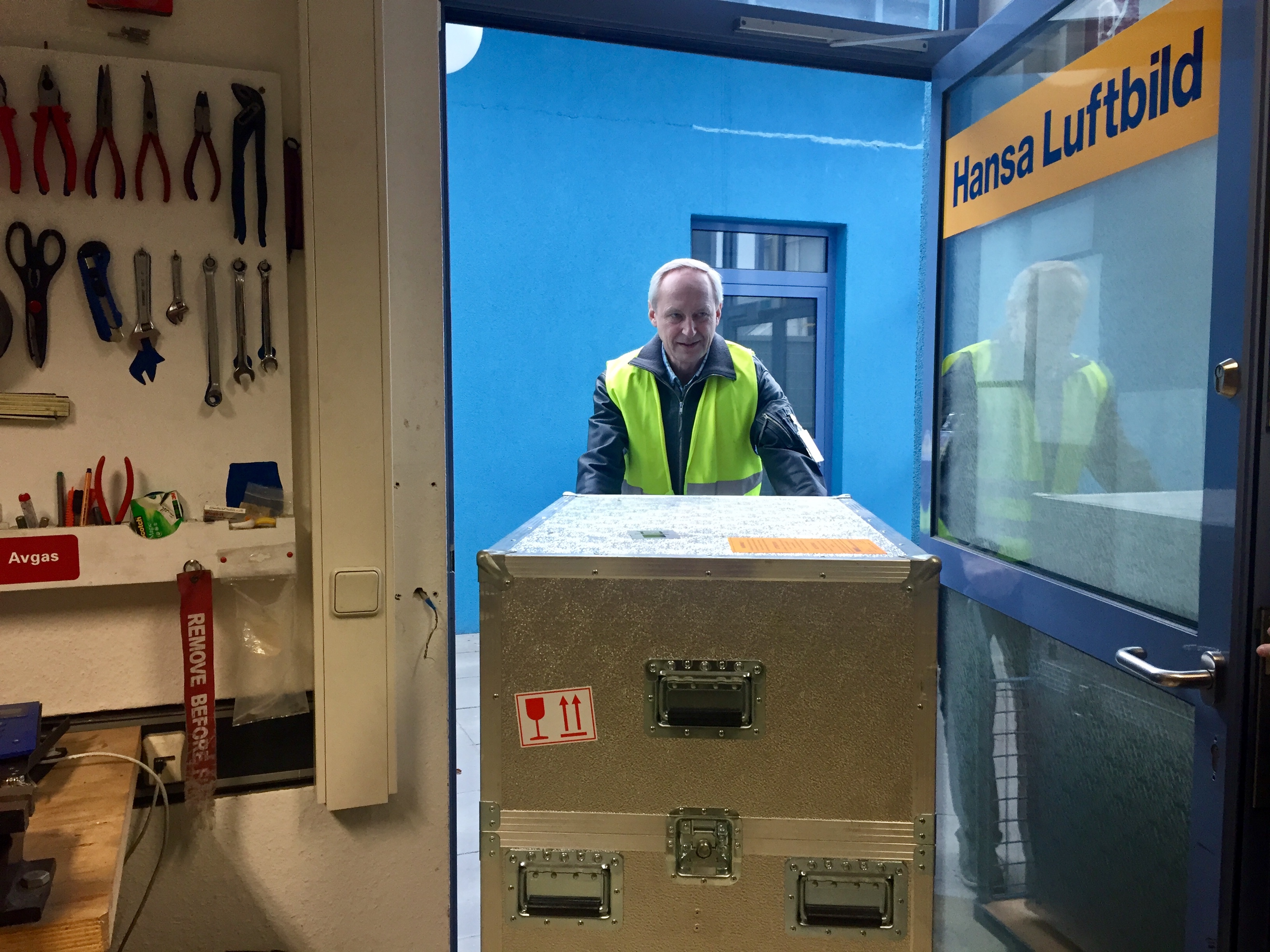
At the beginning of the flying season we also carry out the bore-sight calibration of the airborne navigation system. During these bore-sight calibration flights our aerial survey specialists precisely determine the scalar eccentricity of camera, GPS antennae and the inertial measurement system. At Hansa Luftbild there are always many tasks to perform to fully meet our clients’ requirements which demand state-of-the-art technology.
Stay tuned - for upcoming sunny spring days - and an increase in our capacities with ultra-modern capture technology.
Contact our marketing and sales department:
- by E-Mail or telephone +49 (0)251 2330-900