Air Surveys & Orthophotos
Aerial Surveys
Since being founded in 1923 Hansa Luftbild has chiefly been renowned as an aerial survey company whose aircraft and aerial cameras has enabled it to undertake aerial survey work both nationally and internationally for survey authorities, relevant public bodies, and private clients.
To this day Hansa Luftbild has several aircraft, as well as digital large format cameras and laser scanners. In recent years, however, the range of available sensing devices has much expanded. Further devices such as thermal cameras, and hyperspectral imaging systems etc can also be put at the client’s disposal.

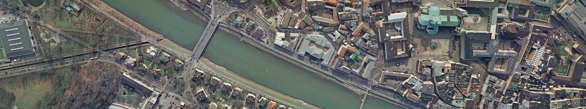
Orthophoto
Nothing is better for an overview than the view from above. Aerial images show the area under investigation in true form and thanks to automated modern rectification and correlation processes, as well as high image resolution, the smallest details are accurately positioned: the basis for every GIS, for digital surface models, for every cadastre, for every query.
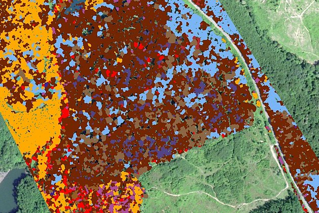
Aerial imagery and orthophotos can be used to document and analyse vegetation in specific areas. So correlations (eg between retarded growth and waterlogging) and delimited areas (eg inaccessible areas) can be captured more accurately and with greater detail, than possible by ground based survey methods.
Aircraft, helicopters and drones are indispensable as transport media for aerial survey sensors.

True Orthophoto
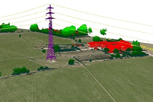
An important follow-on product of the iDSM is the so-called true orthophotos. Due to radial displacement it is impossible to avoid distortion of above ground objects using conventional orthophotos. Only true orthophotos allow objects on the earth’s surface to be represented with orthogonal and positional accuracy.


Since for the entire image height information is available, all image pixels can also be accurately rectified. Formerly hidden sections in the imagery (eg areas behind houses) can be filled in using information from adjacent images. For this reason aerial surveys for true orthophotos must be carried out with a high overlap (eg 80 % forward overlap / 60 % lateral overlap). A true orthophoto is an orthophoto with removed occlusions and no invisible spots.
Advantages of our Services
- Over 90 years experience in aerial survey and image processing
- Several aircraft guarantee flexible and reliable realisation of aerial surveys
- Aerial survey is increasingly showing itself to be cost effective in the acquisition of geodata
- Innovative solutions and individualised consultancy services
- Wide range of products (aerial imagery, LiDAR, hyperspectral imagery)
- Advanced range of services eg local authority cadastre (green space, streets, trees, sealed surfaces etc)
Related Services
Light Detection and Ranging (LiDAR)
Dense point clouds are the basis for classified terrain and surface models of corridors.
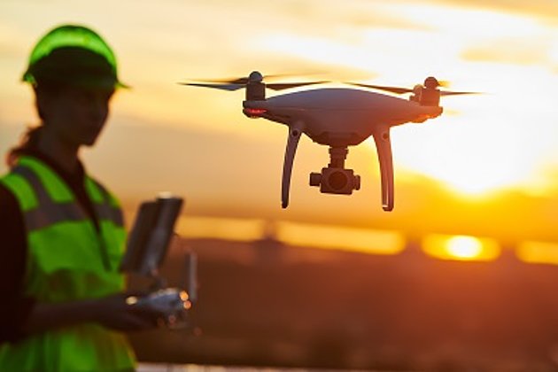
Unmanned Aerial Vehicles
Our drones are suitable for small objects, highest depth of detail and difficult to access areas.
International Consulting
Organisation & company with international geo-focus looking for partner: Hansa Luftbild speciality since 1923
Aerial Hyperspectral Imaging
For analyses of vegetation and damage etc. a sensor records up to 300 colour channels.
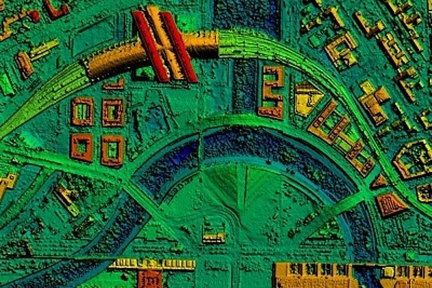
Surface & Terrain Models
3d models of topography, objects and surfaces - made for visualisation and simulation
Aerial Thermal Imaging
"Thermal imaging cameras" visualize temperature differences: for pipeline leaks, climate reports, heat losses.
Contacts

Download
4-page flyer:
Aerial survey and aerial image processing
News
 04.06.2021
Event: Open Day Photogrammetry on September 7th and 8th, 2021 in Magdeburg
The OPEN DAY PHOTOGRAMMETRY is a live event that focuses on airborne surveying in a very practical way. “Hands-on photogrammetry” is the motto. The companies AVT, BSF Swissphoto, geoplana, Hansa Luftbild and GeoFly, as joint organizers and…