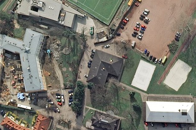
The “aerial photo of the month” shows the 800 metre Brocken summit which lies on the border between Saxony-Anhalt (right) and Lower Saxony. The border is marked by a forest road running in north-south direction parallel to the Ecker river, as marked in the centre of the photo.
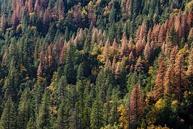
The April snow-flecked landscape illustrates the harsh climate of this mountain range. The clear felling (below left in the top picture) would suggest forestry work; as would the conifer stand of spruce and firs. The rose-coloured area in the forest and the numerous black lines in less dense areas raise serious questions.
These questions can be clarified by a closer focus on the area: dead and dying trees are standing and lying at all angles, including on an impassable forest road. What looks like the outcome of a giant’s pick-up sticks game reveals itself as the result of climate change. The cause cannot be attributed to the local climate but rather to the rapid increase in heat and drought to which the trees cannot adapt. In these conditions they become vulnerable to forest pests, such as bark beetles, which accelerate tree dieback. Storms can then easily finish off the insecurely rooted trees. The rose-coloured areas are indicative of trees which have recently died off but still carry their needles.
Natural coloured or infrared aerial images with 10cm resolution or better are used by foresters worldwide for many purposes. For example for the analysis of forest damage, for planning forestry maintenance / conservation, and for establishing the most expedient localities for forest access and timber yards.
Hansa Luftbild can provide you with an integrated approach to forestry geo-information. Our company experts can bundle together in one system, the most expedient data capture for your purposes, as well as evaluation / analysis tailored to your requirements, in easy-to-use digital format. The outcome is saved time and money during the planning phase, continuous and consistent access to your information, as well as update-readiness because of the transparency of the results. Click here for further information.
Contact our marketing and sales department:
- by E-Mail or by telephone +49 (0)251 2330-900
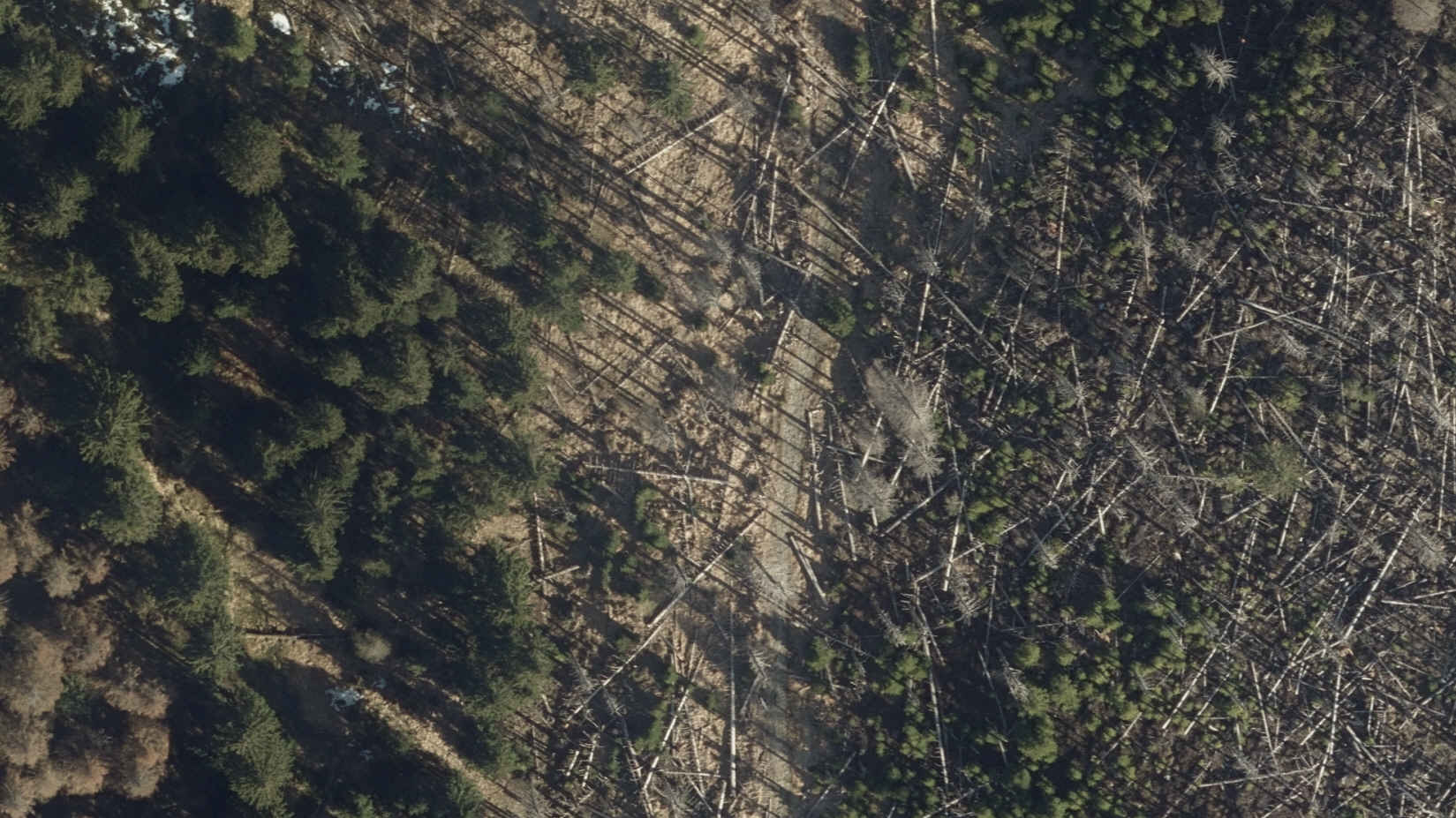
Forest damage in detail, on Brocken summit near Torfhaus.