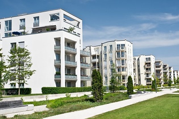
Green space cadastre
Green space cadastre forms the basis for efficient and cost effective management of green areas and facilities. Access to up-to-date data facilitates planning for manpower allocation and machine operation; as well as allowing for economic and targeted use of materials. This enables you to optimise your entire business operation and at the same time increase cost transparency.
The available property data held by governmental authorities has limited value as a basis for green space cadastre, because it doesn’t provide information about object delineation or the usage and condition of your facilities. These factors are absolutely necessary for the efficient management of your green space.


All new planning, reorganization of operations, and maintenance goals can be economically implemented using up-to-date green area cadastre, thereby sinking medium-term costs. To get full coverage and precise data we offer mapping using aerial photography or ground mapping, or a combination of both methods. We will also update your existing data. You will receive a complete green area cadastre based on modern CAD, GIS and WebGIS applications - we work vendor- independent and are able to cover all established software solutions.
Your advantages and our services
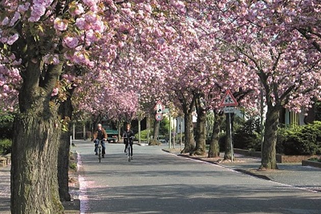
- Do you know which of your green areas require more intensive upkeep?
- Do you have exact information about the length of your road and path network?
- Do you know the number of waste receptacles you have, which require emptying?
- Do you know which grass areas need maintenance, when and their exact size?
Related Services

Aerial Surveys & Orthophotos
The basis for every GIS, for digital surface models, for every cadastre, for every query.

Facility Management
Survey of green and grey areas & buildings for green maintenance & winter service. Furthermore: tree inspection, WebGIS, optimisation check etc.
Tree Register
Legal and traffic security: Tree registers since 1976; mobile software solution
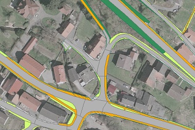
Cadastre Management
Whether opening balance or continuation: Specialized cadastres for road and green provide data on condition and state.