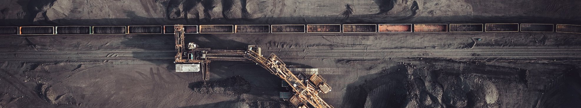
Mining and Commodities
In recent times the demand for primary energy sources and raw materials has increased exponentially, due to demand in developing countries and new production methods in the hightech sector. This has concomitantly accelerated the search for new sources of energy and raw materials.
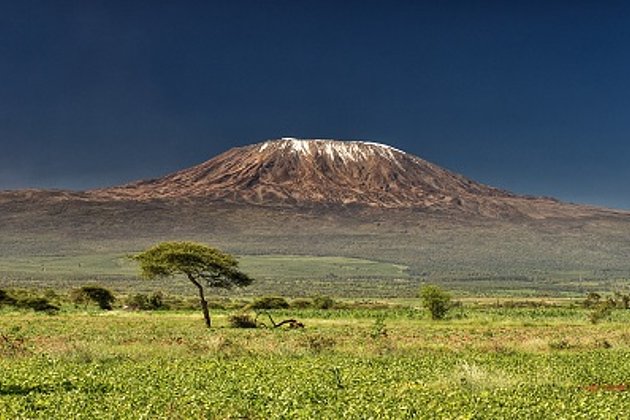
In preparing to search for raw materials, such as coal, gold etc., extensive knowledge of the region to be explored must be acquired – its topography, flora, fauna and existent infrastructure. And during the actual exploratory operation the search for suitable transport routes and spoil heap locations require the continued availability of up-to-date geoinformation, for this basic planning. Strict environmental and safety regulations and high costs for initial investment and continued operation demand perfect planning at every phase of a mining project, which extends to the management of a mine’s closure, after it has ceased operation.
We can offer the mining sector efficient planning, an optimal operation and an environmentally responsible venture due to the expertise we have gathered under one roof. Our experts offer services in aerial imagery, orthophotos, airborne laser scanning, digital elevation models, feasibility studies, and environmental impact studies. We also offer products and services for mine close-downs and the planning for their further utilisation – the survey of slag heaps by LIDAR, and the potential use of sites as wind energy farms.

Related Services

Aerial Surveys & Orthophotos
The basis for every GIS, for digital surface models, for every cadastre, for every query.

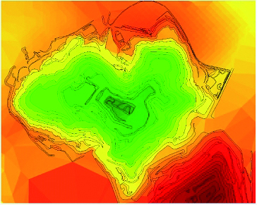
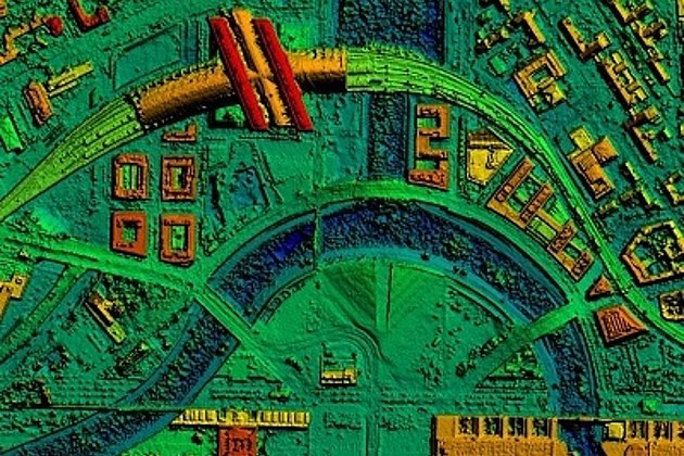
Light Detection and Ranging (LiDAR)
Dense point clouds are the basis for classified terrain and surface models of corridors.
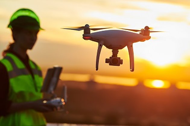
Unmanned Aerial Vehicles
Our drones are suitable for small objects, highest depth of detail and difficult to access areas.
International Consulting
Organisation & company with international geo-focus looking for partner: Hansa Luftbild speciality since 1923
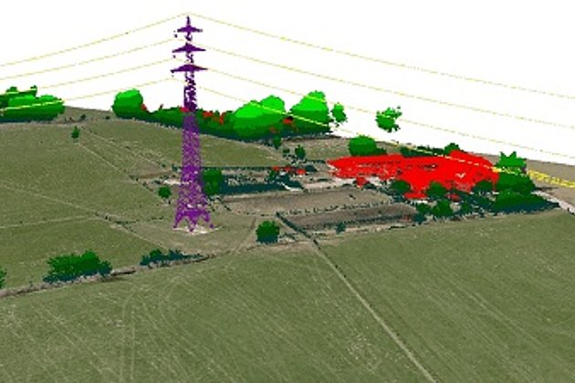
Surface & Terrain Models
3d models of topography, objects and surfaces - made for visualisation and simulation