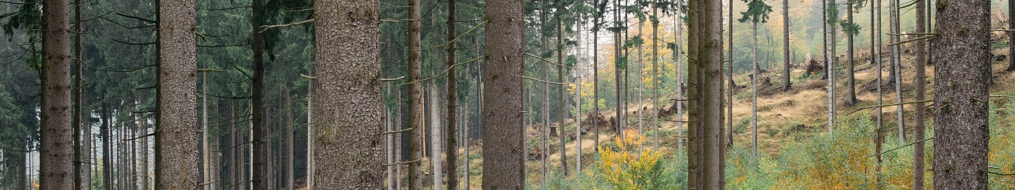
Landscape Planning
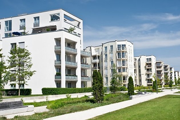
On a daily basis thousands of hectares of rural and forested areas are subject to settlement and construction, in the form of housing, industrial areas, commercial buildings and traffic networks. This increasing loss of natural land resources, and their associated landscape features is a great challenge to environmental and landscape planners.
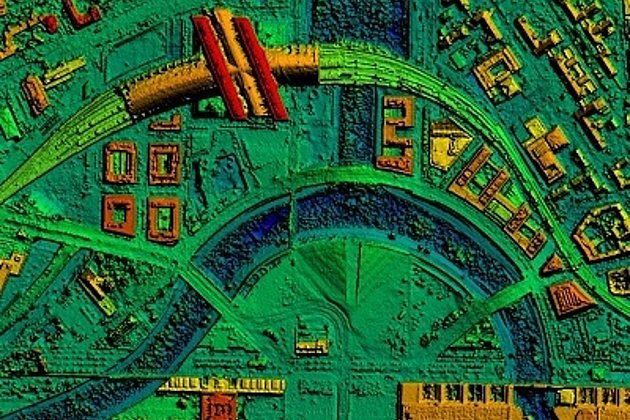
The preservation of cultivated and natural landscapes and the sustainable use of natural resources requires up-to-date base data and comprehensive biotope mapping. We can support you in the compilation of landscape and ecological base data, draw up development, green space and landscape plans, undertake natural resources protection and habitat planning, produce flora and fauna mapping, and as well carry out environmental impact and feasibility studies.
So your planning can be implemented on a ecologically sound and legally secure basis. At the same time you will profit from the synergy effect, when we update your green space and tree cadastre simultaneously, providing you with a unified, centralised data base. You will be guaranteed an at-any-time instant access to all relevant information, and an increased capability for information analysis and distribution. This will save you time and money in your planning and management processes.
Related Services

Aerial Surveys & Orthophotos
The basis for every GIS, for digital surface models, for every cadastre, for every query.
Facility Management
Survey of green and grey areas & buildings for green maintenance & winter service. Furthermore: tree inspection, WebGIS, optimisation check etc.
Surface & Terrain Models
3d models of topography, objects and surfaces - made for visualisation and simulation
Contact

Reinhard Silvers
Business Line Manager
+49 251 2330-259 - E-Mail
News
 26.05.2020
A symbol of biodiversity and constant change: the mud and sand flats of the Wadden Sea
Anyone who is familiar with the mud and sand flats of the Netherlands, Germany and Denmark often on first impression considers them to be a grey-brown, hostile to life, scarcely changeable landscape. On closer examination the opposite proves to be the case. UNESCO has declared these mud and sand flats a World Heritage Site with good reason. The area contains a greater than average variety of plant and animal species, has the largest unbroken area of mud and sand flats in the world, and as a…