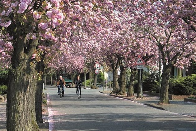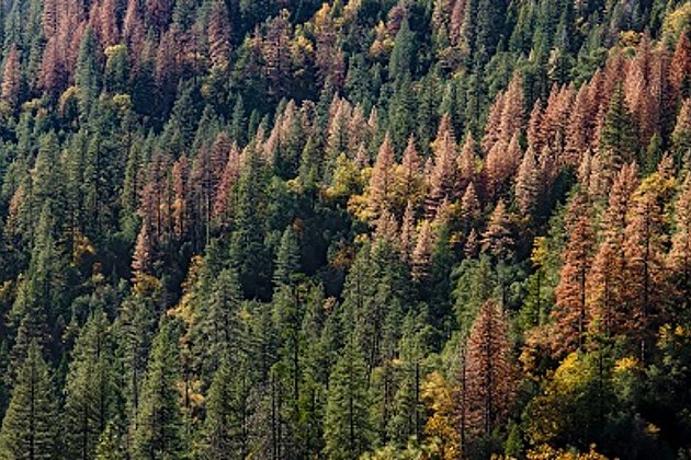
Mainly due to the extraordinary drought and several storm events in 2018, the populations of the forest pest bark beetle have currently increased explosively. In Central Europe, spruce monocultures are particularly affected by the threatening plague.
For the owners and managers of larger forestry companies with lots of coniferous timber, it is difficult to keep track of the plague because of the dynamic development. The urgent questions are: In which areas are tree populations massively attacked? Where is untreated deadwood on the ground? Where are free timber storage areas with favourable transport links and wet storage facilities available, or where can they be set up outside protected areas? And above all: How can the information be provided quickly and effectively?
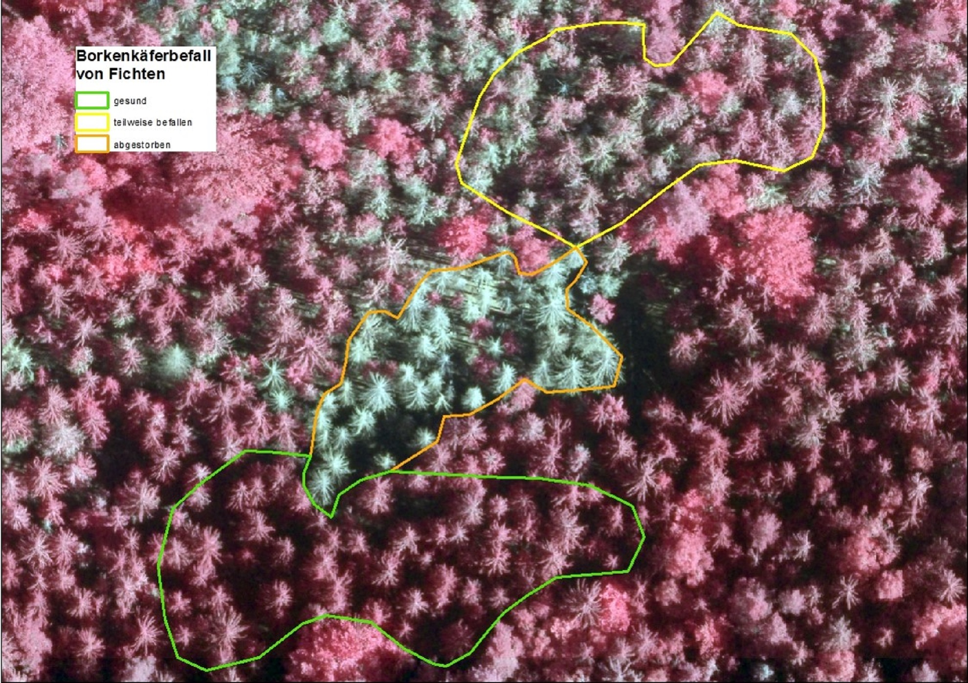
The remote monitoring of medium-sized and extensive forests for the early detection of damage is also gaining enormous importance. Due to their short range and flight endurance, drones are not the best choice. Instead, Hansa Luftbild uses aircraft equipped with cameras or other special technology such as laser scanner or hyperspectral cameras. This is the only practical way large areas can be documented in short time. An area like the National Park Saxon Switzerland is almost 10.000 ha large and can be flown in one to two days; as successfully executed by Hansa Luftbild.
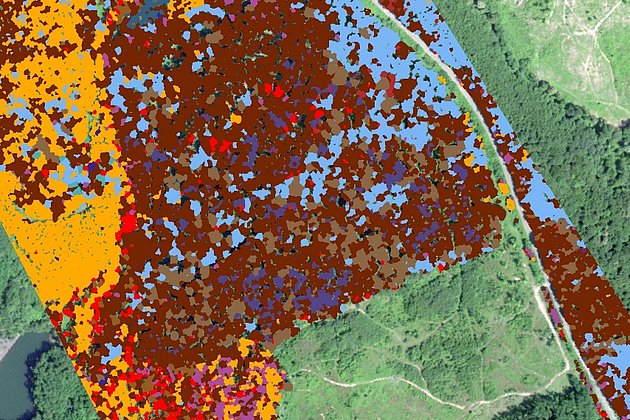
The subsequent image and data analysis by Hansa Luftbild provides the required results for the areas with bark beetle infestation, the areas with suspected infestation, the selected storage sites, etc. quickly, reliably and accurately. All data and information is stored by Hansa Luftbild in a geoinformation system and can be queried immediately. Even if you do not have a graphical information system such as the browser-based „ExperMaps“ from Hansa Luftbild. Because forest management maps alone are not enough to know where endangered tree species actually grow. Not to mention that the condition of the tree populations is hardly recognizable from the maps. Also, it is only possible to obtain the description of the infrastructure, including the protected area analysis, from current information.