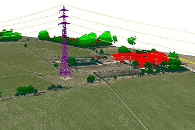
When simultaneous aerial image capture and laser scanning is required, rather than two surveys at different times, an aircraft with two cabin floor openings is the obvious choice.
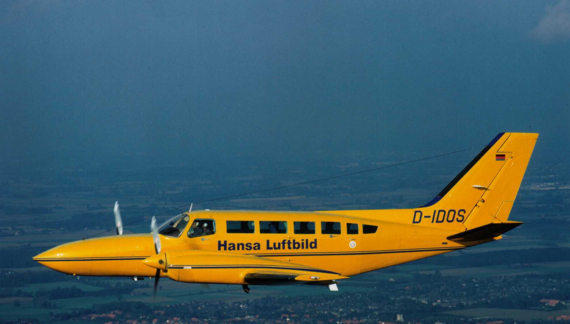
Hansa Luftbild’s D-IDOS with its two cabin floor openings and ample cabin space is able to combine different sensors, storage medium, and equipment - oblique and vertical cameras, laser scanners, hyperspectral and thermal sensors - in accordance with client geospatial information requirements.
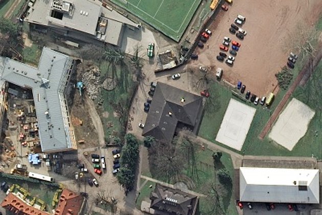
Areas of application for a simultaneous aerial survey include for example forestry. Frequently forestry surveys require infrared images to assess the condition of the vegetation as well as laser scans for digital terrain and surface models for inventory analysis or precise documentation of topography for the planning of forest paths, and timber and wet storage areas.
In recent times Hansa Luftbild has documented Albania in its entirety using the Cessna 404 Titan. A simultaneous survey was carried out using a laser scanner type Q780 and camera types DMC and UltraCam Eagle 100 (independent of the three required ground resolutions).
It goes without saying that client requirements such as altitude, point density, ground resolution, and swath width must be adhered to in carrying out such missions. In deciding which type of survey to use - simultaneous or two separate missions - it must be determined if the more expensive, time-consuming option of two flights with strict adherence to stipulated parameters or a simultaneous survey with adapted parameters and lower costs is to be preferred. Our experts can advise you on the costs, advantages and disadvantages of each methodology.
Contact our marketing and sales department:
- by E-Mail or by telephone +49 (0)251 2330-900