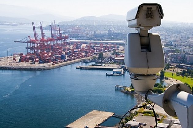
The Port of Rotterdam, one of the largest ports in the world and by far the largest deep water port in Europe, is of strategic importance not only for Dutch trade but also for the economy of our neighbouring country in general.
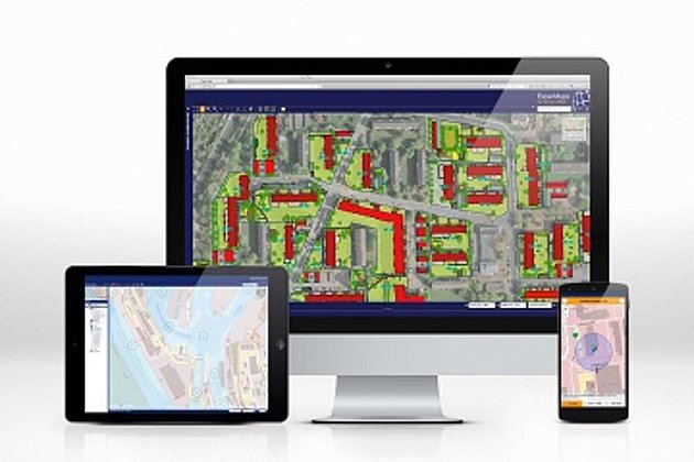
In order to optimally manage the heterogeneous and widely ramified infra- and suprastructure of the Port of Rotterdam, geodata management has always been of central importance within the port administration. The company-wide geoportal "PortMaps" developed for this purpose unites all data and processes under a uniform web-based interface.
The port management company bremenports GmbH, which is responsible for the German ports in Bremen and Bremerhaven, is also aware of the great importance of geodata management for the planning, maintenance and further development of the entire port infrastructure.
Their central system "HafenGIS" has been based for years on the product "Hansa GeoPort" of the Münster-based geo-software specialists. The system provides an intuitive and web-based integration platform for all types of geospatial data and processes.
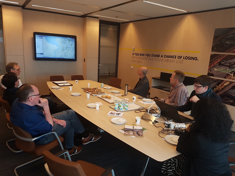
Within the scope of the technical exchange of information between the Port of Rotterdam on one side and bremenports and Hansa Luftbild on the other side, the respective systems were presented and further optimization possibilities were discussed.
The professional exchange conducted with all openness was regarded by all participants as extremely useful. An invitation for a return visit to Bremerhaven was very positively received by the Port of Rotterdam, so that the consultations will continue on the Weser with the same participants the following year.
Note: Hansa Luftbild AG is a corporate member of the German Hydrographic Society e.V. since October last year. For the current March edition HN112 of the magazine "Hydrographische Nachrichten" Hansa Luftbild was able to introduce the company and its points of contact to the "element of water" to the esteemed readership in the context of a company portrait (Cover photo: Hansa Luftbild, article page 30 - 32).