What can you expect?
In addition to workshops and technical presentations, you have the opportunity to talk to industry experts on two consecutive days and take a look behind the scenes of airborne surveying. Experience aircraft, technical equipment and image processing at first hand. Discuss your experiences and problems with our experts. Other exciting program highlights such as the Elbedome, one of the largest 360-degree visualization systems for virtual-interactive content in Europe, are also waiting for you. Take a look at our program outline and get an impression of the OPEN DAY PHOTOGRAMMETRY 2021.
Would you like to be there?
It pays to be fast - save 35% of the ticket price until June 30, 2021 and secure one of the limited tickets. Simply use our online registration:
Time
07.09.2021 from 9:00 a.m. to 5:30 p.m
08.09.2021 from 9:00 a.m. to 3:30 p.m.
Lectures
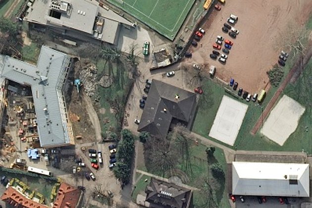
- Image flight with pressurized cabin and glass
- High Performance Cameras and Laser Scanners - What the latest systems can offer
- Precision shots without wobbling - camera stabilization platforms
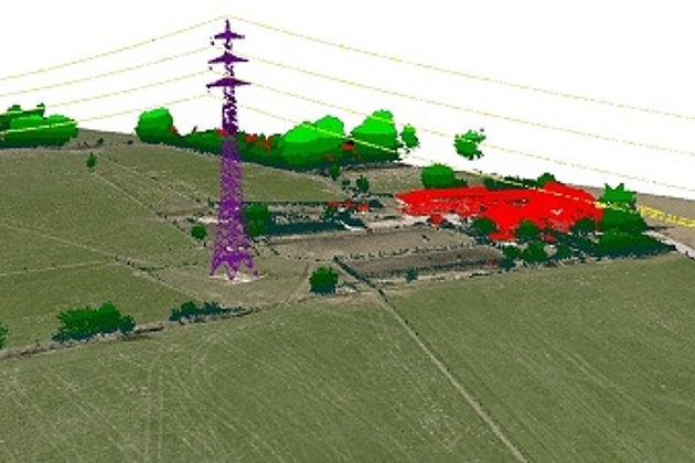
- Professional 3D hardware
- Software solutions for 3D city models and 3D mesh
Workshops
- "Mobile mapping - on the way to the digital twin" - explore the vehicle and technology
- Flight planning in data production
- Survey flight live - now you are the operator
- Navigation in the airplane
- From practice: The aerial photograph as a modern planning instrument: 3D stereo analyses, map & Co
- 3D mesh generation
- Oblique image processing
- Laser scanning
Supporting program
- Please ask your question! - Meet all experts on site.
- Experience! - Immerse yourself in three-dimensional worlds - the Elbedome makes it possible. The cone-shaped building is one of the largest 360-degree visualization systems for virtual-interactive content in Europe.
- Get in touch with surveying professionals, software experts and hardware specialists in a pleasant atmosphere and with good food
- Get-Together, 07.09.2021 from 7:00 p.m.