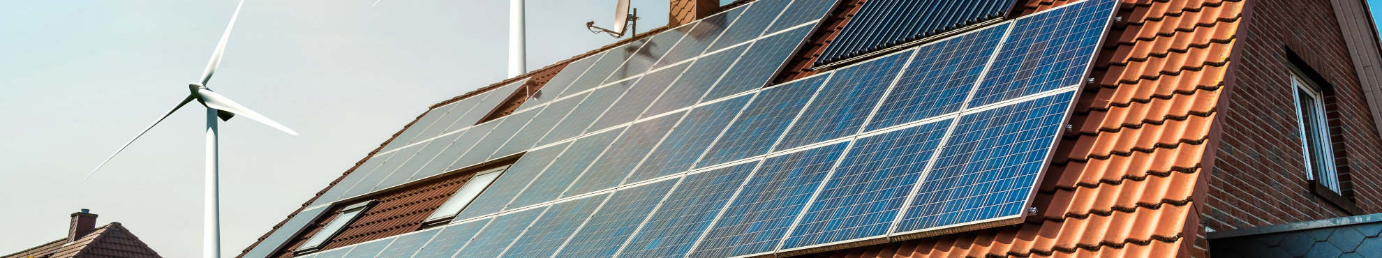
Solar Roof Potential Cadastre
For high efficiency solar power generation
The creation of a solar roof cadastre has several advantages. It is a comprehensive service to the citizens and strengthens the renewable energy sector. The available photovoltaic potential is clearly illustrated and easy to understand. Customers can neutrally check the efficiency of their roofs before they contact an installation company. Additionally, a solar roof potential cadastre serves as a portal to support the local economy and can cause a significant cash flow to your region.
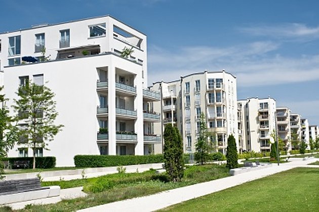
According to industry estimates, the global photovoltaic power market will grow five-fold by 2020. This means enormous challenges to local authorities and the local industry. Our solar roof potential cadastre is a comprehensive planning tool for the expansion of renewable energies in your region and the adaptation of current electricity networks to the increased use of photovoltaic installations.
Roof Surface Modelling
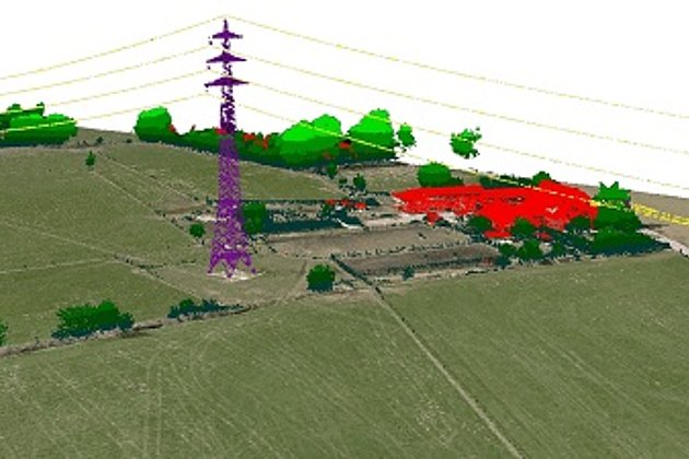
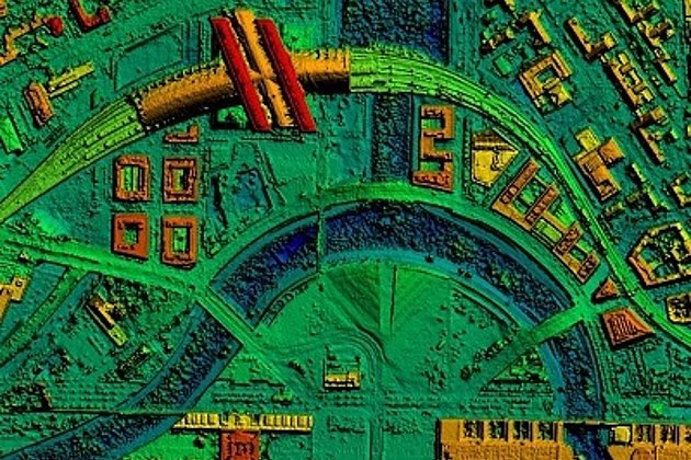
On the basis of aerial photographs or airborne laser scanning (lidAr) all sides of the building’s roof will be determined. This method has many advantages, e.g. the availability of these data for further analysis (3d city models, green roofs etc.) and a significant increase in quality in comparison to a more general classification roof data.
Suitability Test
Based on this analysis, the potential photovoltaic capacity will be calculated. The determining location factors are the exposure, the roof pitch, the roof size and the shading. These factors will be computed for each side of the roof for a whole year. The next step is the classification of the detected roofs on the basis of their solar capacity factor.

Visualisation
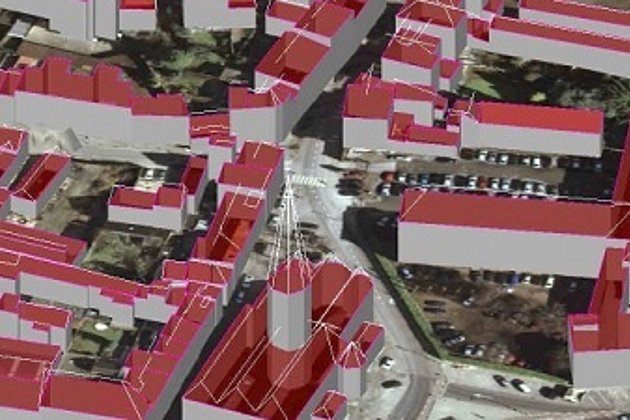
The solar potential results can be incorporated into maps or 3d city models as neutral data. By using a WebGIS based upon existing digital orthophotos the data can also be displayed on the internet for effective public presentation. On the web the roof surfaces can be queried interactively on their solar potential (proceeds and CO2 reduction per year). In combination with an integrated solar energy calculator the portal allows extensive economic analysis and its simple and intuitive user interface caters even to the needs of untrained users.

Advantages of our Services
- You will be able to offer a comprehensive service to citizens and industry and strengthen the renewable energy sector
- You will receive a comprehensive planning tool for the expansion of the distributed electricity generation
- To generate added value, you can use the captured data for additional applications, e.g. 3d city models or green roof modelling
- Publish all information via an internet portal and give even untrained users the opportunity to analyse the economic potential of building-integrated photovoltaics
Related Services

Aerial Surveys & Orthophotos
The basis for every GIS, for digital surface models, for every cadastre, for every query.

Facility Management
Survey of green and grey areas & buildings for green maintenance & winter service. Furthermore: tree inspection, WebGIS, optimisation check etc.
Light Detection and Ranging (LiDAR)
Dense point clouds are the basis for classified terrain and surface models of corridors.
3D City and Terrain Models
3D building models are the indispensable basis for BIM, visualization, planning and citizen participation
Surface & Terrain Models
3d models of topography, objects and surfaces - made for visualisation and simulation
Contact

Ralf Sembritzki
Sales
+49 170 9690289 | E-Mail
Download
2-page Flyer:
Solar Roof Potential Cadastre
News
 02.04.2020
3D city model for Darmstadt: Creative ideas for the further intensive use of this data collection
A contract which has many applications and specific goals: a strategy pursued by Darmstadt in Hessen. A data collection covering 7,100 ha of urban area has recently been created. The collection will help many agencies to plan and manage city development with greater speed, ease, and rationality, thereby reducing costs.