Local and Global
Detailed and Generalized
Airborne and Ashore
Always precise, always digital, always up-to-date: Always for you.
Since 1923, for thousands of customers, in 130 countries, individually or off the shelf.
Geoinformation and Hansa Luftbild were already a couple, when the term was not yet coined at all.

News
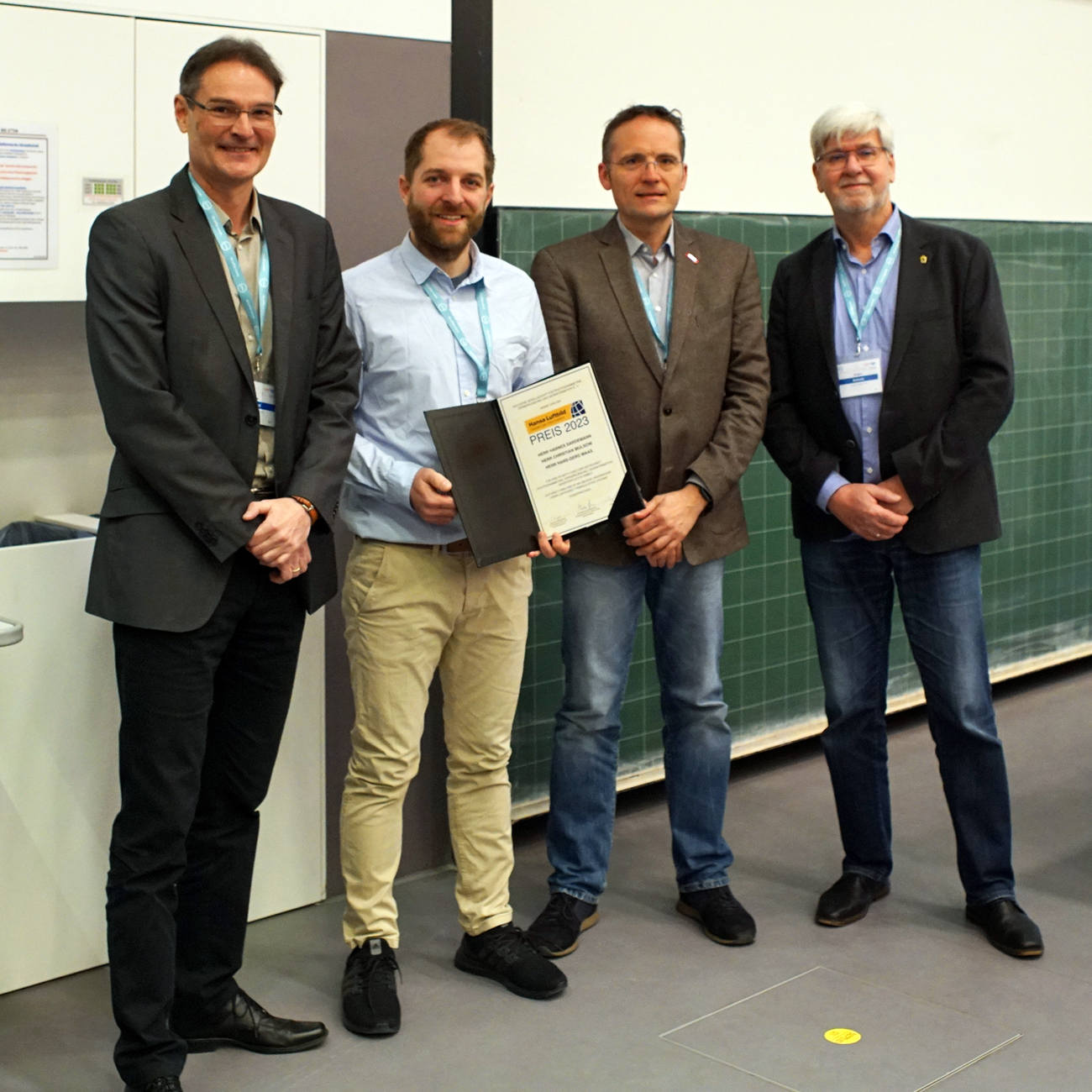
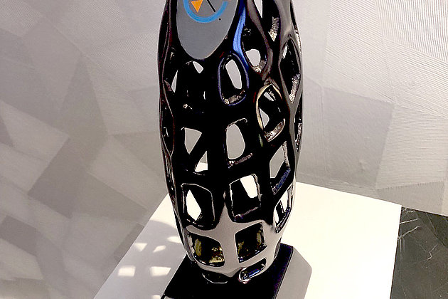
Hansa Luftbild Award 2023
Since 1972 Hansa Luftbild has been awarding the Hansa Luftbild Prize in the context of the anniversaries of the "German Society for Photogrammetry, Remote Sensing and Geoinformation" (DGPF). The prize is awarded for outstanding scientific achievements, especially by young scientists, whose achievements are also characterized by a high practical relevance.
 14.10.2022
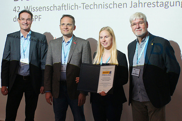
Hansa Luftbild Award 2022
Since 1972, Hansa Luftbild has been awarding the Hansa Luftbild Award as part of the anniversaries of the "German Society for Photogrammetry, Remote Sensing and…
 08.04.2022
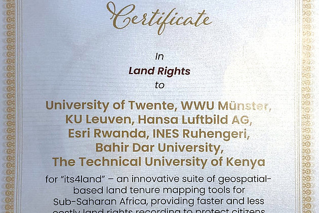
GEOSPATIAL WORLD EXCELLENCE AWARD for the project “its4land”
A special commendation for HANSA LUFTBILD AG and all other cooperating partners
We look forward to participating in the 19th International 3D-Forum Lindau from 10 to 11 May 2022.
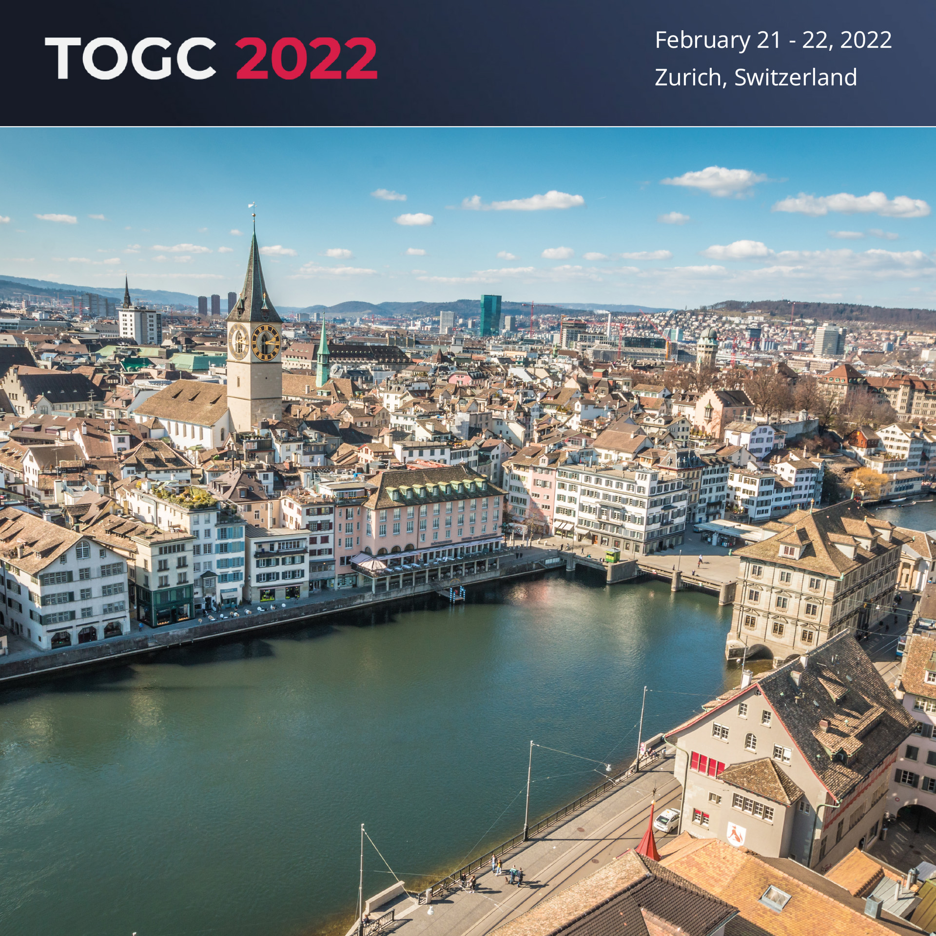
We are looking forward to participating in the TOGC CONGRESS 2022 #togcevents (21 and 22 February, Stand 30) in Zurich.