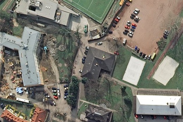
A LIDAR project in Bosnia-Herzegovina for monitoring of mining activities with aerial photographs and orthophoto production has just been completed. Data of the project with a ground resolution of 8 cm will be used as a planning basis for the booming Albanian Tirana-Durres region.
Hansa Luftbild operates regularly in the Netherlands and Belgium. Every year it produces aerial photographs of several Flemish provinces. In 2018, Hansa Luftbild even photographed all Flemish provinces with a total size of 17,000 km² with low ground resolution and supplied orthophotos.
In the Netherlands, Hansa Luftbild, together with TopScan [link: www.topscan.de/front_content.php] has been supporting the monitoring of the North Sea coast from Zeebrugge in Belgium to Delfzijl with an annual elevation survey using laser scanning since 2011.
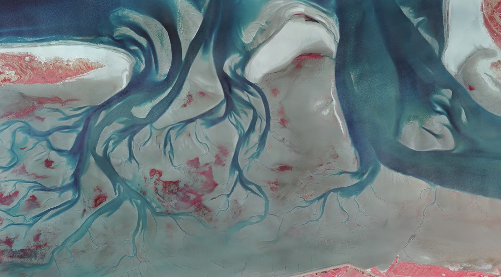
The same client, the Rijkswaterstaat agency [https://www.rijkswaterstaat.nl/index.aspx] of the Ministry of Infrastructure and Water, has now commissioned Hansa Luftbild with the perennial documentation of the Dutch Wadden Sea using infrared aerial photographs. The aim is to observe and monitor geomorphological changes of the Wadden Sea, which is very dynamic due to the tides. In addition, the development of ecological plant systems will be observed and tracked in a time series.
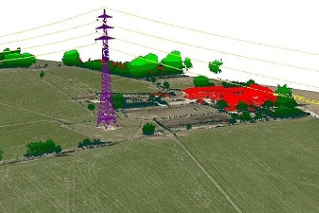
In Mecklenburg-Western Pomerania Hansa Luftbild will survey 11,000 km² of the federal state in two campaigns. The focus will be on the coastal region, including the hanseatic cities of Wismar, Rostock and Stralsund. A special feature of this order will be the high overlaps of the aerial photos, which are required for the true orthophotos to be created.
Even though the 2019 Neuruppin survey in Brandenburg has no technical finesses, it is still worth mentioning because Neuruppin calls itself „Fontane City“ and the important German realism writer Theodor Fontane was born there 200 years ago.