
Software Development
IT-Experts - Geoinformation-Specialists
Off-the-peg solutions for the management of your geoinformation and related business processes are not for you because:
- there is no standard software package that meets the specific requirements of your business
- you want your own individualised software development solutions
- you want to avoid the licence and maintenance costs of standardised packages
- you want to secure your investment through ownership of the source code
- you want full control over all future software development
- you want to secure your competitive advantage by utilizing optimal solutions
- you want reliable partners who understand your specialist, technical requirements.
And because we can meet all these demands our long-term clients continue to work with us.
Our solutions are developed on the basis of our core technology and software:
We offer application development with asp.Net and .NET on the basis of Intergraph’s GeoMedia. This application can be used for the management of ports and is currently being utilised by the Port of Bremen, Germany. Hansa GeoPort offers an ideal solution for port management. The system has been in successful operation at Bremerhaven for many years.
Oracle Gold-Partner
We offer client support for Oracle database utilisation, including the analysis and optimisation of performance. We are specialised in databases which hold GIS, since Oracle Spatial has high performance technology to handle the management and processing of geodata held in the database.
Example:
Integrated Administration and Control System (IACS) for Hessen
According to the principle of shared management, Member States must take the necessary measures to ensure that transactions financed by the European Agricultural Guarantee Fund (EAGF) are not only actually carried out but are also implemented correctly. In cooperation with its two partners EFTAS and GDV Hansa Luftbild had developed a parcel mapping system for the German federal State of Hessen which allows the precise location of every parcel to be determined.The system is based on an Oracle spatial database and a unique java client. The database contains 2 millions parcels and more than 15 million additionally calculated areas.
The system was developed on the basis of Oracle, Oracle Spatial, Oracle PL/SQL, Java, Eclipse RCP, XML/GML, MS-Windows, UNIX andd WTS.
A large part of our products is developed on the basis of Microsoft's ASP.NET.
Example:
Cadastre for Addis Ababa
To meet the requirements of the local administration, we applied a service oriented architecture (SOA) based on industrial standard components like Oracle Spatial, Bentley Map, Microsoft’s ASP. NET and the Windows Communication Framework. The system incorporates the principles of FIG Cadastre 2014 and implements a data model which is derived from the ISO Land Administration Domain Model (LADM).
In developing Web GIS applications we are increasingly making use of open source solutions such as PostGIS, GeoServer, QuantumGIS (QGIS), GeoExt, ExtJS and OpenLayer. These products are based on the OGC standards - a guarantee for geospatial interopability.
Example:
ExperMaps - the new Online GIS by Hansa Luftbild
ExperMaps is the new, flexible Online GIS developed by Hansa Luftbild. Based on Open Source technologies like GeoServer, PostGIS and GeoEXT, it is the instrument of choice for administering spatial information and making it available to a wide variety of users. Its modular design allows a seamless integration into your IT environmental and business processes which exactly meets your requirements.
For more information please visit www.ExperMaps.com
Related Services

Hansa GeoPort
Hansa GeoPort - The portal for geoinformation and processes for port operators and associations

International Consulting
Organisation & company with international geo-focus looking for partner: Hansa Luftbild speciality since 1923
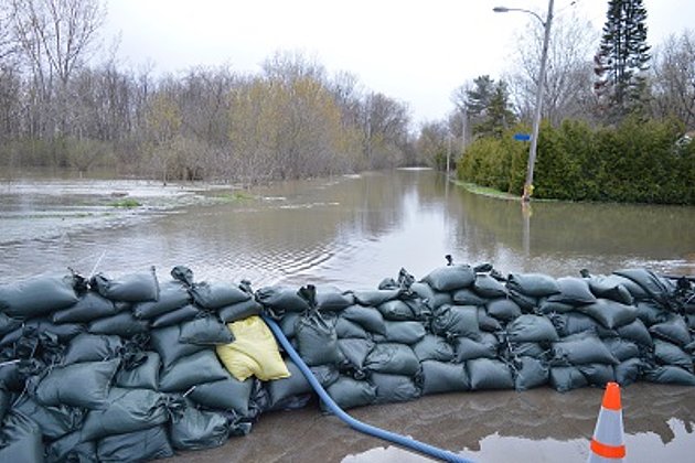
Coastal Protection
Flood, low tide, storm surge: our data and services will help you quickly and accurately.

Contacts
News
 25.02.2020
Update - “HafenGIS” (PortGIS) at bremenports (Port of Bremen)
For many years bremenports has been making use of Hansa Luftbild’s web based GIS “Expermaps” for the management of their spatial data. Recently its functionality has been extensively expanded.
 21.05.2019
Washington DC: Hansa Luftbild participates in World Bank Land and Poverty Conference "Catalyzing Innovation"
At this annual World Bank conference on land and poverty Hansa Luftbild presented a land administration system which has been developed for the Ethiopian Ministry of Agriculture. The National Rural Land Administration Information System (NRLAIS) was developed in order to harmonize the rural land…