Aerial imagery, webGIS, digital cadastre solutions, land administration systems, mobile mapping or specialized cadastres for green areas, soil sealing and facility management: Hansa Luftbild will present its whole range of products and services for its national and international customers from all kind of markets and industries by means of its latest extraordinary project results.
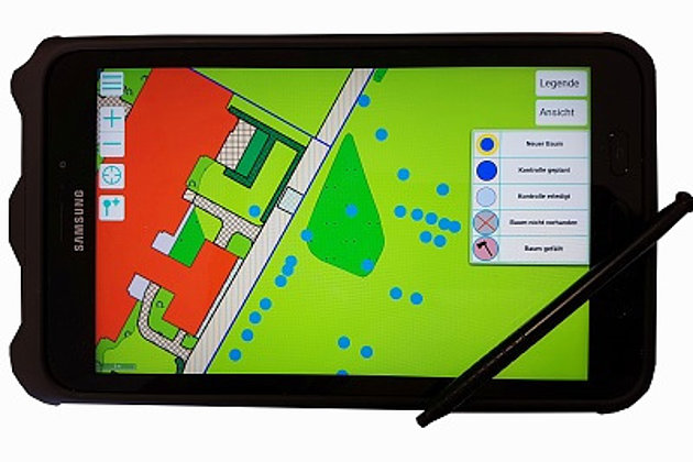
In addition to real estate cadastre for housing associations, this year's focus was more on the municipalities, which commissioned mainly aerial photography and orthophotos for urban tree, cemetery and green space cadastre. Another focus was on various projects for transmission system operators, which have specified their planning for the power line routes from north to south Germany this year.
In addition, Hansa Luftbild can announce the successful completion of the ambitious mobile mapping project with more than 3,000 km of road, which was awarded by the Berlin senate administration. The collected inventory data are required for, among others, the process management of large-capacity and heavy transport and a planned pedestrian navigation system. As the road condition was recorded and evaluated by a LIDAR system and visual with a position accuracy of less than 10 cm, Hansa Luftbild uses this project as a qualifying reference for further major projects in Germany and abroad.
The recently completed, ambitious Albania project with nationwide aerial photography and simultaneous use of a laser scanner was extended to another technically similar project in Albania.
Hansa Luftbild lives up to its geopolitical claim and has been working successfully for over two years in the EU-funded research project "Its4Land" with partners from East Africa and Europe. As part of this land management project for sub-Saharan African countries, innovative tools for the cost-effective acquisition of real estate are being developed, and the latest space-acquisition technologies are being used under UAV deployment.
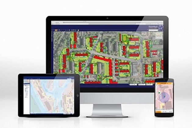
The Hansa Luftbild's own WebGIS "ExperMaps". has been further developed by means of a reorganized structure and additional functionalities. With its new system solutions, it presents itself as a future-proof instrument of choice with regard to the care, administration and retrieval of geoinformation. Furthermore, the specialist application "ExperMaps Baum" for tree cadastre now complements our portfolio.