The client was the Albanian Development Fund; the end user of the data is the Albanian State Authority for Geo Information (ASIG).
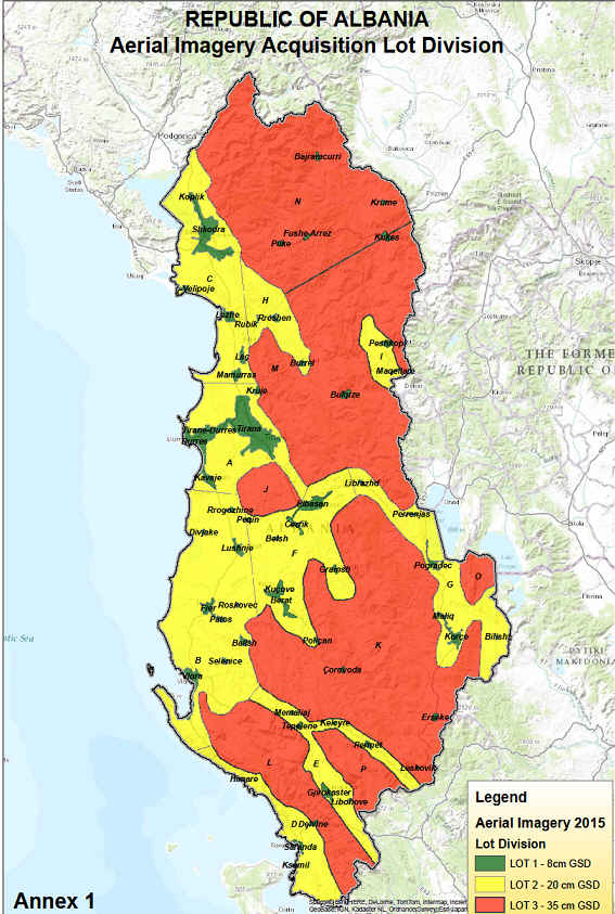
For the project, the land was divided into three zones in order to be able to supply the products adapted to different requirements in optimum quality:
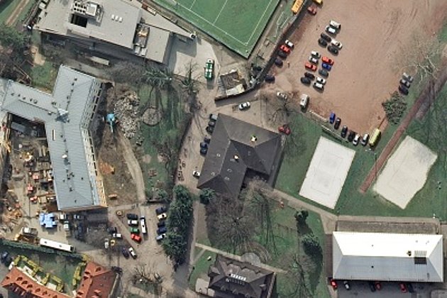
- Urban areas (1.028 km², GSD 8 cm and laser point density 5 points/m²)
- Rural areas (10.340 km², GSD 20 cm and laser point density 2 points/m²)
- Mountainous areas (17.380 km², GSD 25 cm and laser point density 1 point/m²)
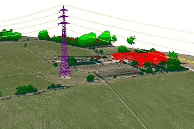
The data was obtained by simultaneous aerial survey using a camera and laser scanner. Difficult conditions made the mission an extremely demanding project. Foreseeable were e.g. the bureaucratic hurdles for flying permits at several international borders and the challenging terrain topography with over 2700 m high mountains near the coast. In contrast, the temporarily unstable national reference system ALBPOS and the extremely different weather conditions caused by the topography were not really predictable.
The technical specifications of the three zones in combination with the parameters of the sensors used were – due to the prescribed simultaneous aerial survey – a challenge for flight and operational planning.
All challenges were successfully mastered. Another positive factor was that it was allowed that all data could be processed in Germany – in contrast to our recent aerial survey of Greece.
As a result, orthophotos, terrain models and surface models were supplied.
The project also included the delivery of hardware and software including their on-site installation, to allow ASIG to continue using the data. The employees of ASIG were accordingly trained within the framework of the project.
The image data are available on the Albanian geodata portal for everyone.