As the developer of the system, Hansa Luftbild always focuses on its customers. Therefore the often expressed wish of our customers for editing possibilities of geoinformation directly from the web interface was realized in this further developed version.
The existing flexible user, role and rights concept has been considerably extended to enable an administrator of the system to refine the assignment of rights such as displaying, creating, modifying and deleting geometry and factual data to any user group.
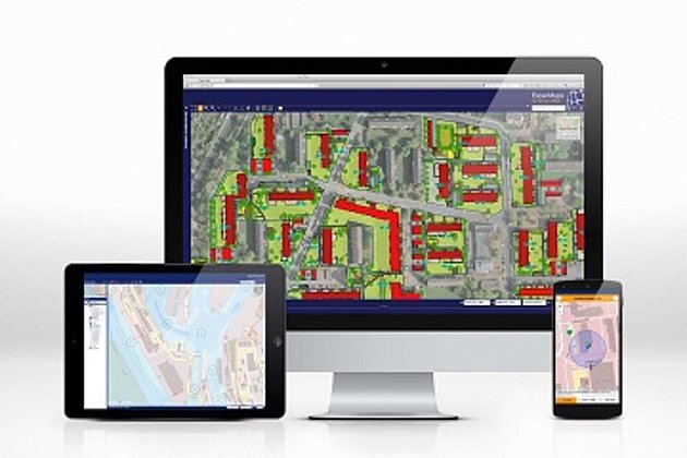
In addition to the proven functions for visualization, evaluation, query, print, data export to PDF and Excel and many more, the complete maintenance of geoinformation managed with the WebGIS system is now possible in an extremely intuitive manner.
Our customers from the areas of port management, property management, green spaces, cemetery management, tree care and traffic already appreciate the new possibilities. ExperMaps V3 makes it now possible for them to communicate the different authorizations for "normal" users with rights only to obtain information, queries and evaluations, and for "power users" who are responsible for data maintenance to the system via the ExperMaps Control Centre. When users subsequently log on to ExperMaps, they are offered exactly the data, functions and rights they need to complete their daily tasks.
For an initial overview of the capabilities of ExperMaps, visit our ExperMaps website. In addition, we are also available for a briefing session or a presentation.