
Please select your line of business:

Aerial Surveys & Orthophotos
The basis for every GIS, for digital surface models, for every cadastre, for every query.


Facility Management
Survey of green and grey areas & buildings for green maintenance & winter service. Furthermore: tree inspection, WebGIS, optimisation check etc.
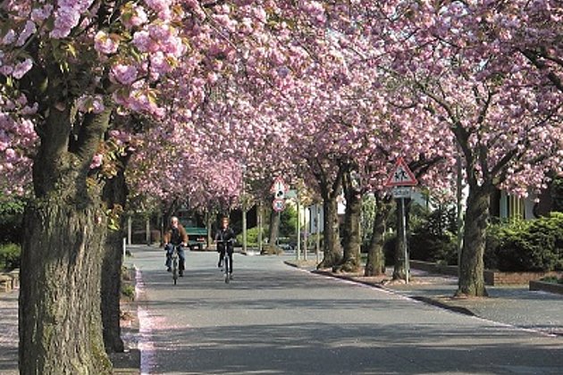
Tree Register
Legal and traffic security: Tree registers since 1976; mobile software solution

Unmanned Aerial Vehicles
Our drones are suitable for small objects, highest depth of detail and difficult to access areas.