Please select your line of business:

Aerial Surveys & Orthophotos
The basis for every GIS, for digital surface models, for every cadastre, for every query.


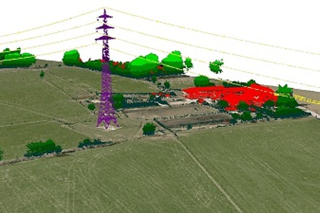
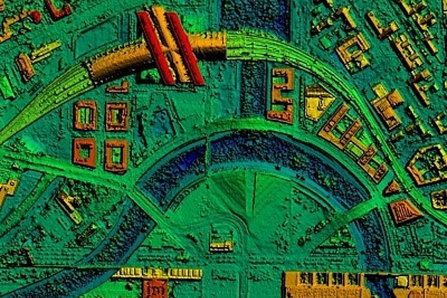
Light Detection and Ranging (LiDAR)
Dense point clouds are the basis for classified terrain and surface models of corridors.
Surface & Terrain Models
3d models of topography, objects and surfaces - made for visualisation and simulation