
Please select your line of business:

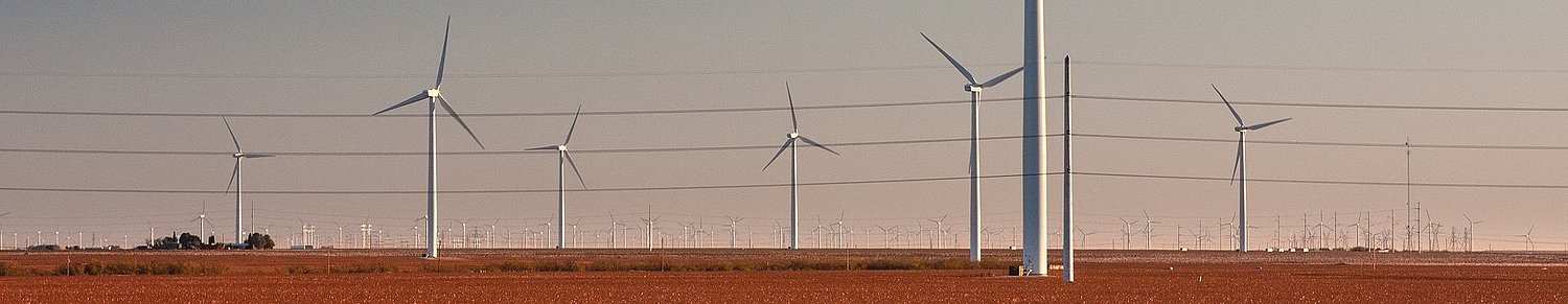
Aerial Surveys & Orthophotos
The basis for every GIS, for digital surface models, for every cadastre, for every query.


Mobile Mapping
Mobile recording and visualization of roads: Traffic images move you on the spot
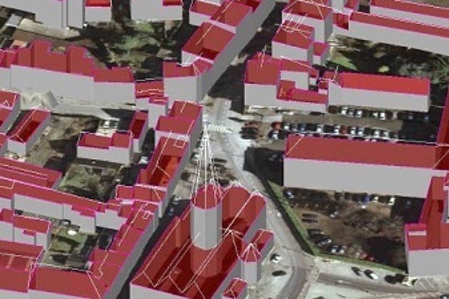
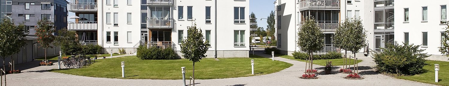
3D City and Terrain Models
3D building models are the indispensable basis for BIM, visualization, planning and citizen participation
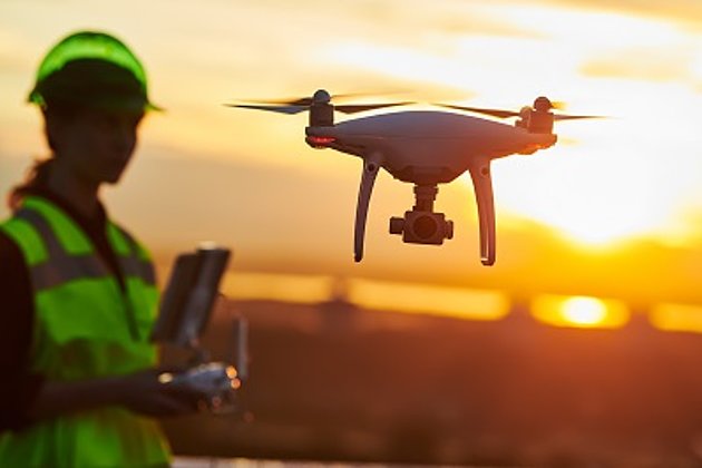
Unmanned Aerial Vehicles
Our drones are suitable for small objects, highest depth of detail and difficult to access areas.
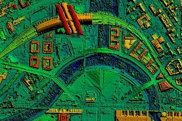
Surface & Terrain Models
3d models of topography, objects and surfaces - made for visualisation and simulation
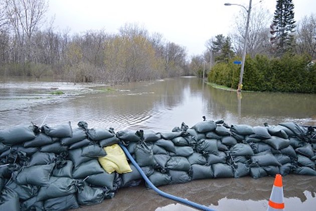
Coastal Protection
Flood, low tide, storm surge: our data and services will help you quickly and accurately.