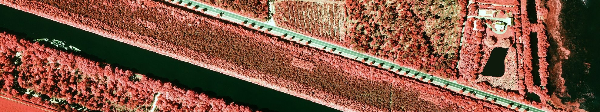
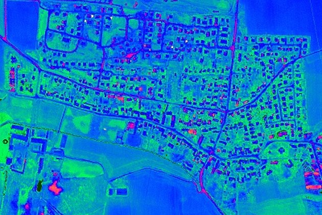
Airborne Hyperspectral Imaging
Hyperspectral imaging collects and processes information from across the electromagnetic spectrum. Such as the visible light is limited to three bands (red, green, and blue), spectral imaging divides the spectrum into hundreds of bands.
Airborne hyperspectral remote sensing use is increasing for monitoring the development and health of crops or to detect the chemical composition of plants, e.g. to detect their nutrient and water status or pollutants.
The mining industry uses the technology of hyperspectral imaging to identify various minerals like oil or ore.
As a non-destructive technology, it is also used for leak detection, e.g. for gas pipelines.
Advantages of our Services
- Over 90 years experience in aerial survey and image processing
- Three aircraft guarantee flexible and reliable aerial surveys
- Aerial survey is increasingly showing itself to be cost effective in the acquisition of geodata
- Innovative solutions and individualised consultancy services
- Wide range of products (aerial imagery, LiDAR, hyperspectral imagery)
- Advanced range of services eg local authority cadastre (green space, streets, trees, sealed surfaces etc)
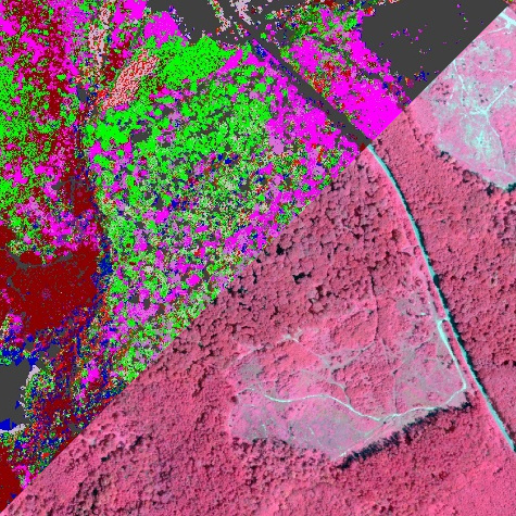
Related Services

Aerial Surveys & Orthophotos
The basis for every GIS, for digital surface models, for every cadastre, for every query.
Light Detection and Ranging (LiDAR)
Dense point clouds are the basis for classified terrain and surface models of corridors.

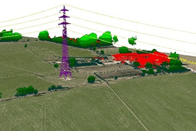
Unmanned Aerial Vehicles
Our drones are suitable for small objects, highest depth of detail and difficult to access areas.
Aerial Thermal Imaging
"Thermal imaging cameras" visualize temperature differences: for pipeline leaks, climate reports, heat losses.
Contact

Download
4-page flyer:
Aerial survey and aerial image processing
News
 16.02.2021
Preparations are underway….
Although the weather at present does not look promising, and spring days seem far away, Hansa Luftbild is working intensively on preparing flight surveys and projects.
 22.01.2021
Flight planning at Hansa Luftbild
January is almost over and before we know it spring will be here. The days will lengthen, the weather become warmer and the sun will be higher in the sky. For Hansa Luftbild this means the start of the flying season. Our highly experienced staff are currently in the last stages of the year’s flight planning.