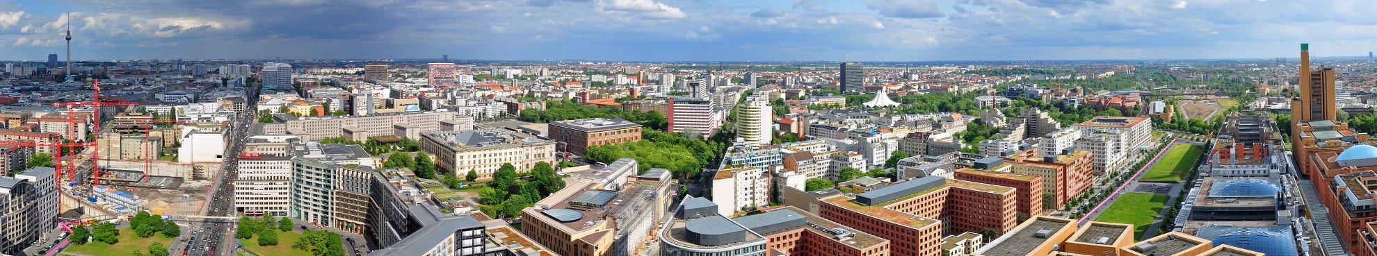
Digital Building Models
Digital building models because of the wide range of applications and uses they offer are playing an increasingly significant role in geo-spatial information systems. Hansa Luftbild offers planning data for both public and private operators through its generation building models based on the capture of information from aerial photography or laser surveys.
Task
Digital building models and the integration of aerial imagery data and elevation models support the planning, calculation, analysis and visualisation of specific spatial landscapes. For municipal bodies areas of interest in using building models include calculation of noise diffusion and the compilation of noise protection cadastre; in addition city / urban land use planning as well as wireless network planning are of strong interest.
")
Method
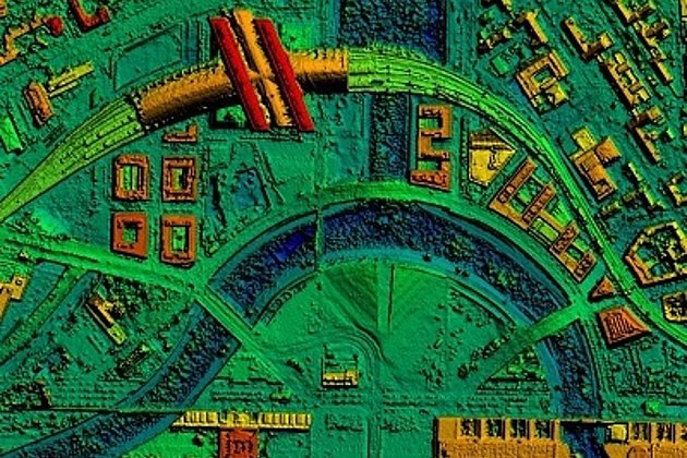
Photogrammetric stereo aerial photo restitution on the basis of digital base maps / digital cadastral maps data are used to capture eave heights and roof lines. With the help of capture of details of ground data, building height, and roof geometry a 3D model of the buildings with corresponding roof lines is generated. Finally, the data is used to generate a surface model. Information about the roofs of buildings and their facades can be supplemented using oblique aerial imagery or street view imagery for texturing. Alternatively virtual textures can be applied.
A further option to capture and measure building heights as well as to digitise roof and eave lines is through airborne laser scanning, an additional service offered by Hansa Luftbild. With such data a surface model of buildings as well as vegetation can be generated.
The detail in the modelling can be offered at four different levels of detail (LoD):
LoD 0: digital terrain model with superimposed texture (orthophoto or true orthophoto)
LoD 1: simplified block model with or without roof geometry, photographic facade texture may be added
LoD 2: detailed city model with complex roof and facade structure and photographic texture
LoD 3: detailed architectural model with precise roof and facade representation, photographic texture and virtual material (complemented with virtual vegetation etc.)


Contact
Ralf Sembritzki
Sales
+49 170 9690289 | E-Mail

News
 25.02.2021
Hansa Luftbild on the road with new UltraCam:
Sun position 25° - springlike temperatures all over Germany - the crews of Hansa Luftbild were again on duty over the weekend. On board: the UltraCam Eagle!
“The UltraCam Eagle Mark 3 is our flagship and the perfected version of its predecessor models. All important components have been improved,” is how Dipl.-Oec. Jörg Haupt, chairman of the board of Hansa Luftbild AG, describes the most innovative camera system in their house.
 02.04.2020
3D city model for Darmstadt: Creative ideas for the further intensive use of this data collection
A contract which has many applications and specific goals: a strategy pursued by Darmstadt in Hessen. A data collection covering 7,100 ha of urban area has recently been created. The collection will help many agencies to plan and manage city development with greater speed, ease, and rationality, thereby reducing costs.