
Hansa Luftbild has developed a tree register system especially for the administration, organization, care, and documentation of tree populations. The system implements all the relevant processes simply, efficiently and in a legally compliant manner.
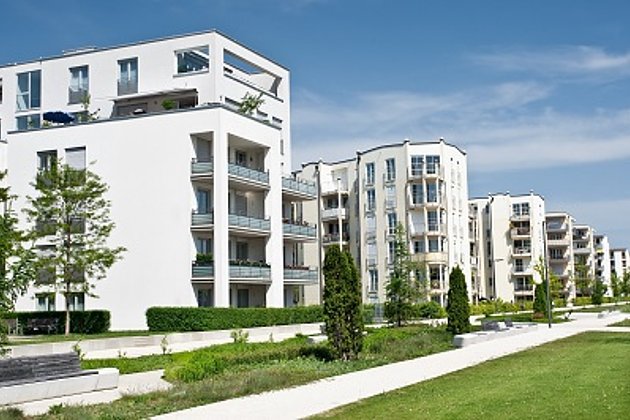
According to German law every property owner is responsible for ensuring that their property does not endanger the lives of others. In this case maturing trees must be taken into account and it should be ensured that they present no danger to traffic. If damage does occur the property owner must prove that this could not be foreseen and was not caused by negligence. The damage to one’s image, however remains and has a lasting effect. It would be better if the damage never occurred.


Hansa Luftbild is a member of the BTÜB e.V. (Biological Technical Tree Survey Association) and can provide you with suitable technical and organizational support as well as personnel and expertise. We can provide expert assistance to road and property authorities in establishing legally required measures for traffic safety and/or support the continued monitoring of these measures.
We can also draw up tree maintenance and development concepts for our clients. In addition we can submit applications for felling trees, investigate the relevant procedures, prepare specifications and organise tendering, contracting and invoicing. So with the assistance of tree management software, tree population information systems and mobile solutions we can help you to efficiently manage the mass of available data to be found in geodata portals such as WebGIS. You have one system - we deliver the optimum solution. You need one system - we advise on the options.
Your advantages and our services
- Traffic and legal security according to the following German regulations VTA, ZNV, FLL / ÖNORM L1122 (adaptable to other national / regional regulations)
- Specification of upkeep and monitoring schedules according to condition.
- Seamless planning, organisation, documentation and monitoring of tree upkeep.
- ExperMaps as a flexible WebGIS for the management and visualisation of your data.
- Experience, providing expertise, running projects, since 1976.
Related services

Facility Management
Survey of green and grey areas & buildings for green maintenance & winter service. Furthermore: tree inspection, WebGIS, optimisation check etc.

Ralf Sembritzki
Sales
+49 170 9690289 | E-Mail
Download
2-page Flyer:
Baumkataster
1-page article (Business Geomatics 8/19):
Baumkontrolle mobil und offline
News
 13.09.2021
OPEN DAY PHOTOGRAMMETRY 2021
The OPEN DAY PHOTOGRAMMETRY was the live event where airborne surveying was put into focus in a practical way.
 28.05.2021
The entire local government benefits from road surveying
The data of a laser scanning (LiDAR) and image mobile mapping campaign is used by many departments within municipal administrations. In addition to the specialist departments for civil engineering, building construction or green spaces, the finance department and political decision-making bodies…