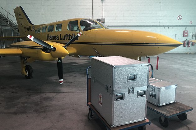
Chartered Flights
If you need a chartered flight at short notice, we can provide both equipment and personnel. Our experienced pilots and operators can advise you on the flight mission and at your request undertake flight planning, ensuring any problem free aerial survey either from Muenster airport (FMO) where our aircraft are based, or in the operational area of your choice.
Our personnel can also support you with data processing and data evaluation. Please ask for details!

Advantages of our Services
- Over 90 years experience in aerial survey and image processing
- Three aircraft guarantee flexible and reliable aerial surveys
- Aerial survey is increasingly showing itself to be cost effective in the acquisition of geodata
- Innovative solutions and individualised consultancy services
- Wide range of products (aerial imagery, LiDAR, hyperspectral imagery)
- Advanced range of services eg local authority cadastre (green space, streets, trees, sealed surfaces etc)
Related Services

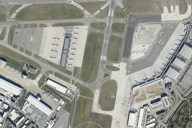
Aerial Surveys & Orthophotos
The basis for every GIS, for digital surface models, for every cadastre, for every query.
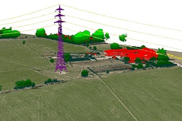
Light Detection and Ranging (LiDAR)
Dense point clouds are the basis for classified terrain and surface models of corridors.
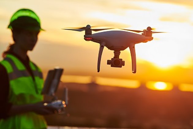
Unmanned Aerial Vehicles
Our drones are suitable for small objects, highest depth of detail and difficult to access areas.

International Consulting
Organisation & company with international geo-focus looking for partner: Hansa Luftbild speciality since 1923
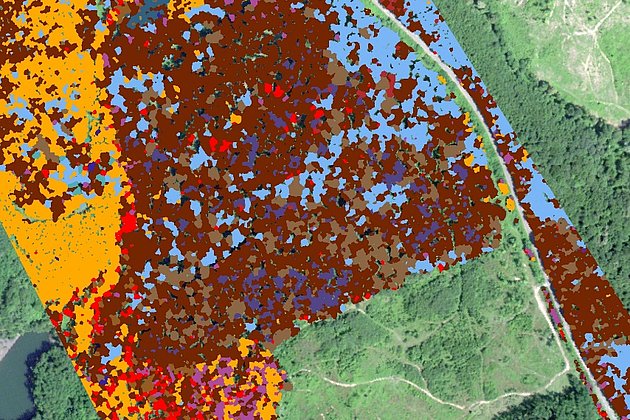
Aerial Hyperspectral Imaging
For analyses of vegetation and damage etc. a sensor records up to 300 colour channels.
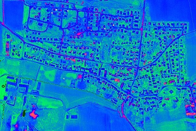
Aerial Thermal Imaging
"Thermal imaging cameras" visualize temperature differences: for pipeline leaks, climate reports, heat losses.
Contact

Download
4-page flyer:
Aerial survey and aerial image processing
News
 25.02.2021
Hansa Luftbild on the road with new UltraCam:
Sun position 25° - springlike temperatures all over Germany - the crews of Hansa Luftbild were again on duty over the weekend. On board: the UltraCam Eagle!
“The UltraCam Eagle Mark 3 is our flagship and the perfected version of its predecessor models. All important components have been improved,” is how Dipl.-Oec. Jörg Haupt, chairman of the board of Hansa Luftbild AG, describes the most innovative camera system in their house.
 19.02.2021
Aerial photo of the month: Air traffic almost at a standstill in the face of the corona pandemic
The outworking of the corona virus has brought many new challenges to the business and service sector. The tourism sector has been severely affected and has shrunk markedly. Air passenger services have been severely disrupted due to both shrinking demand and travel restrictions imposed by governmental authorities.
 22.01.2021
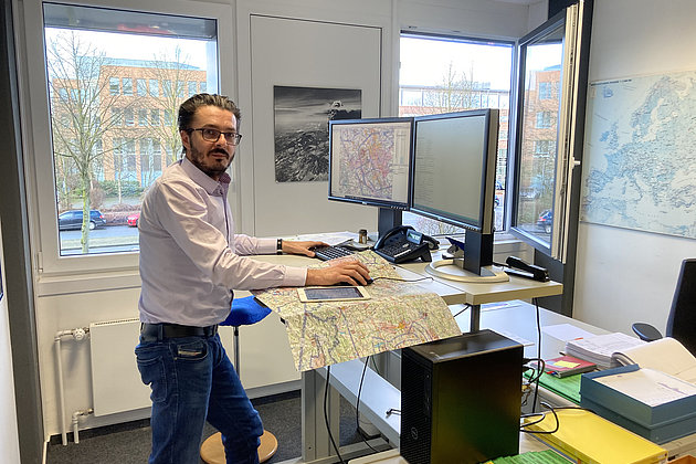
Flight planning at Hansa Luftbild
January is almost over and before we know it spring will be here. The days will lengthen, the weather become warmer and the sun will be higher in the sky. For Hansa Luftbild this means the start of the flying season. Our highly experienced staff are currently in the last stages of the year’s flight planning.