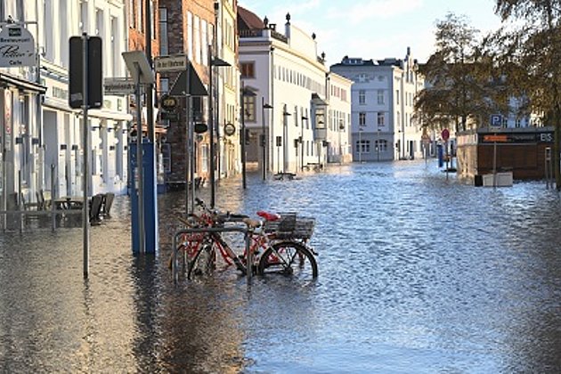
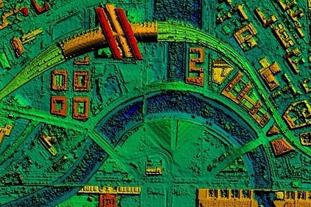
The Brandenburg Ministry for Agriculture, the Environment and Climate Protection took advantage of the low water levels in the river to have Hansa Luftbild laser scan the river from a helicopter. The data was processed combining image and laser scanned data so that the terrain could be depicted realistically minus vegetation and vehicles, but with buildings. The vegetation and vehicles are visible in the data but were not projected onto the 3D height information, that is they are quasi two dimensional. The colour representation looks like any “normal” colour photo; there is no colour coding for height information. The photo shows the River Schwarze Elster with the Koschener Canal and the lock at Grosskoschen.
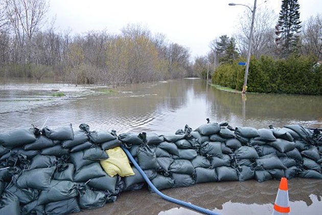
Currently measures are being taken for future high water levels in the river. In March, 282 km of dykes with wide buffer zones along the River Schwarze Elster and some tributaries will be laser scanned by helicopter. The laser scan will cover the river up to where its mouth enters the Elbe near Muehlberg. In comparison to a ground survey the laser scanning will be more cost effective and faster according to a 4th February, 2020 press release of the Ministry.
The data will be used to generate a digital terrain and surface model with a 5cm accuracy; these models are clearly more accurate than the currently available national data. Furthermore, the data will be used to generate breaklines, contour lines and a vegetation elevation model.
According to the Ministry this will serve as a “valuable base both for the modelling of high river levels and for the analysis of the current state of flood protection facilities.” In this way necessary measures for the strengthening or maintenance of dykes can be identified (especially deficiencies in dyke heights). “Furthermore,” states the press officer, “the regional authority can use the data to update information about high risk areas, to update maps used for flood management, and to assess areas of danger in times of high river levels and flooding.”