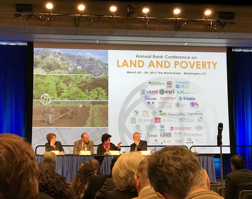
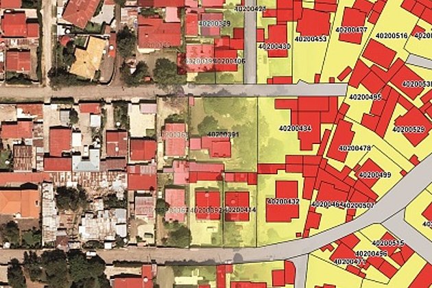
Hansa Luftbild’s presentation addressed the issue of mass land registration using the fit-for-purpose land administration approach. The first co-presented paper covered an innovative rural cadastre development in Ethiopia. Hansa Luftbild described its implementation of the Ethiopian Ministry of Agriculture and Natural Resources’ strategic approach for a computer based land administration system.
The implementation consisted of developing the National Rural Land Administration and Information System (NRLAIS). This system was developed using open source software based on the ISO 19512 Land Administration Domain Model (LADM) standard. With its innovative and cost-effective architecture and modular “tool-kit” approach the system is independent on a fully functioning internet infrastructure and can be easily adapted to cater for the different legal requirements of the Ethiopian regional states.
The two other co-presented papers covered its4land, a 4 year, € 3.9 M, 8 partner, Research and Innovation Action funded through the European Commission’s Horizon 2020 Industrial Leadership program. its4land is seeking to create seven new tools that would make land rights mapping faster, cheaper, easier, and more responsible and in line with the Fit-for-Purpose land administration approach.


