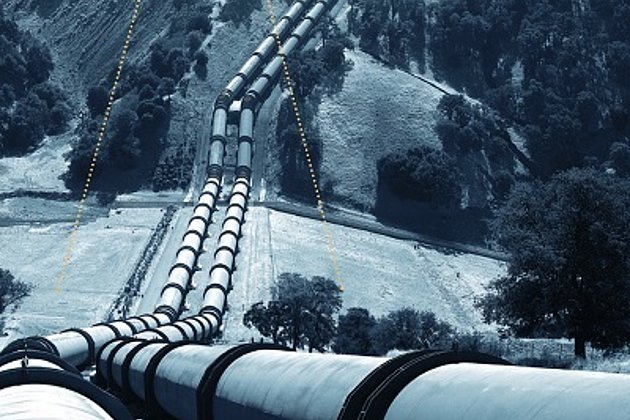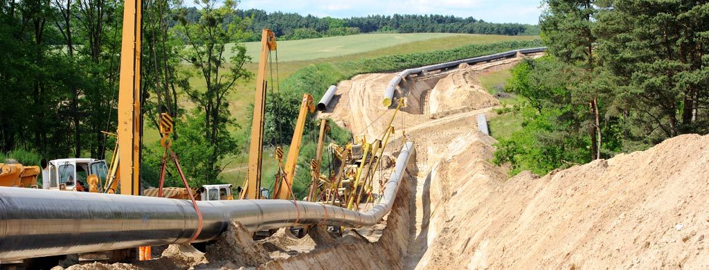
In near future the EUGAL-gas pipeline will further increase the density of the European pipeline network: therefore among others it is planned to construct a 824 km long gas pipeline from the island of Rügen through Brandenburg and Saxony to the Czech Republic. The European Gas Connection Line (EUGAL) aims to increase the long-term security of gas supply for millions of German households, therefore it is not only planned to transport Russian natural gas to Poland and Czech Republic, but also to Germany.
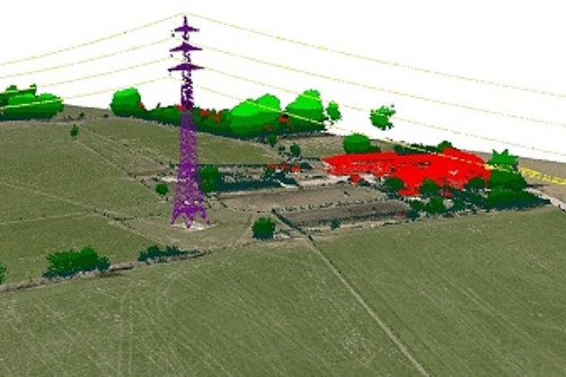
In framework of the regional planning procedure for the planned route Hansa Luftbild captured geobase data with a corridor width of 1,000 meter contracted by the two clients Gascade Gastransport GmbH, Kassel and Nordstream 2 AG, Zug (Switzerland). The existing situation was surveyed and mapped with high precision based on laser- and aerial image data. In order to achieve required data accuracy in addition almost 200 control points and 5 reference areas were signalised and surveyed.
Like already in the in 2007 performed survey of the parallel running “OPAL”– long-distance gas pipeline Hansa Luftbild applied latest technologies combining imagine techniques and laser scanning technologies. Consequently Hansa Luftbild developed a fast, reliable and transparent database of the landscape topography and actual land uses. Fundamental basics for this remarkable result were laser scan data with a point distance of less than 30 cm, digital aerial photographs with a ground resolution of 7 cm and additional video recordings of the area – and this for a total area with almost twice the size of the city of Bremen.