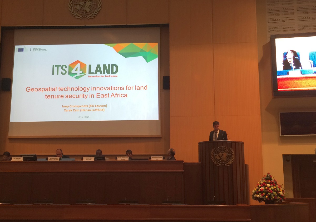
The theme of the forum was Good Land Governance for the 2030 Agenda. The forum was attended by government delegates from different countries and by international participants from different academic institutions and business organisations. Hansa Luftbild and one of its consortium partners in the its4land research project, the Katholieke Universiteit Leuven (KUL) participated in the forum. The its4land project was presented to the forum delegates and participants, who showed a large interest in the technological innovations which will be developed in the project.
its4land
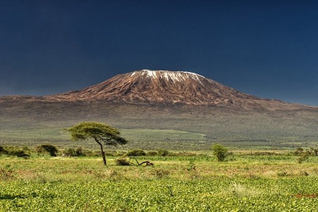
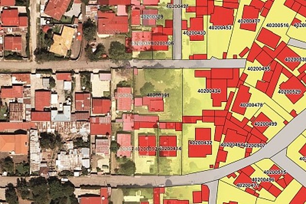
Sub Saharan African countries like Rwanda, Kenya and Ethiopia have an immense challenge to rapidly and cheaply map millions of unrecognized land rights in the region. Over the next four years the Hansa Luftbild AG will collaborate with partners from East Africa and Europe to develop an innovative suite of land tenure recording tools that responds to that challenge.
The project its4land, in which researchers will develop this suite of tools, will involve partners from both industry and academia. The its4land project has been awarded a 3.9 million euro grant from the Horizon 2020 ICT-programme of the European Union.
its4land is a collaborative project led by the University of Twente (Netherlands). In addition to Hansa Luftbild, partners include the Institute for Geoinformatics at University of Münster (Germany), KU Leuven (Belgium), Bahir Dar University (Ethiopia), Hansa Luftbild AG (Germany), The Technical University of Kenya (Kenya), Institut d'Enseignement Superieur de Ruhengeri (Rwanda), and Esri Rwanda Ltd (Rwanda).
2030 Agenda for Sustainable Development
At the end of September the UN member states voted on a set of Sustainable Development Goals (SDGs) in order to initiate a global transformation towards sustainability. The Sustainable Development Goals are more extensive than their precursor, the eight Millennium Development Goals, which have often been criticised for not giving enough attention to the ecological dimensions of sustainability, or for considering it only in isolation. The primary goal remains the eradication of poverty. UN Secretary-General Ban Ki-Moon declared in his report “The Road to Dignity” about the SDGs in December 2014 that no sustainable development goal or target can be considered accomplished as long as this is not true for all social groups.
The SDGs replace the Millennium Development Goals (MDGs), which were adopted in the year 2000 with the aim of achieving them by 2015. Starting on 1 January 2016, the SDGs will extend over the next 15 years. The goals, which the 193 UN member states have agreed upon after long rounds of negotiation, are ambitious: they aim to end poverty and improve education and health standards, as well as to combat climate change and protect marine and terrestrial ecosystems. In “Transforming Our World: The 2030 Agenda for Sustainable Development”, the member states have created a list of 17 goals and 169 specific targets (see diagram). While the commitment to realise these goals by 2030 is voluntary, they are universally applicable for both developing and developed nations.