This website uses cookies

This website uses cookies to improve user experience. By using our website you consent to all cookies in accordance with our Cookie Policy.

Some cookies on this site are essential, and the site won't work as expected without them. These cookies are set when you submit a form, login or interact with the site by doing something that goes beyond clicking on simple links.

We also use some non-essential cookies to anonymously track visitors or enhance your experience of the site. If you're not happy with this, we won't set these cookies but some nice features of the site may be unavailable.

Baumkontrollen mobil und offline

Baumerfassungen und -kontrollen führt Hansa Luftbild seit Jahrzehnten für Kommunen und Immobilienunternehmen durch. Inzwischen erfolgen die Arbeiten mobil mit Tablets. Dazu hat Hansa Luftbild die App ExperMaps Baum entwickelt, die die vorbildlich einfache Dokumentation vor Ort im Fokus hat und offline handhabbar ist. Sogar "Business Geomatics" berichtet ausführlich darüber.

[Translate to Englisch:]

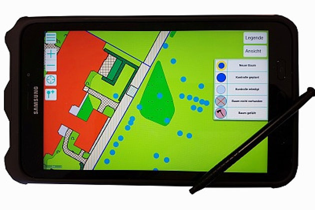
Viele Baumkontrolleure bewerten Programme zur mobilen Erfassung von Bauminformation dann schlecht, wenn es draußen z.B. kalt und regnerisch ist oder sehr lange tägliche Arbeitszeiten anstehen: die Gründe sind zu kleine "Tasten", umständliche Menüs, schlechte Akkuleistungen der Geräte.

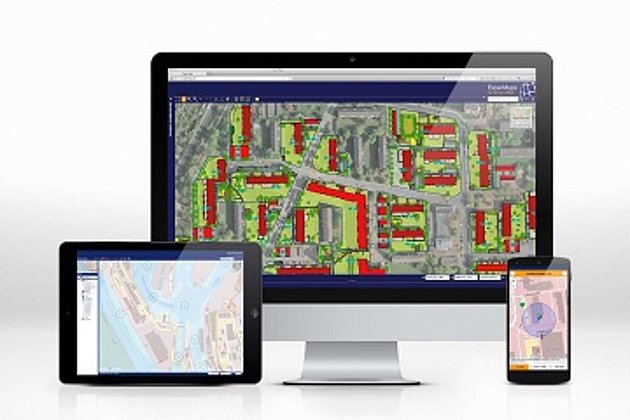
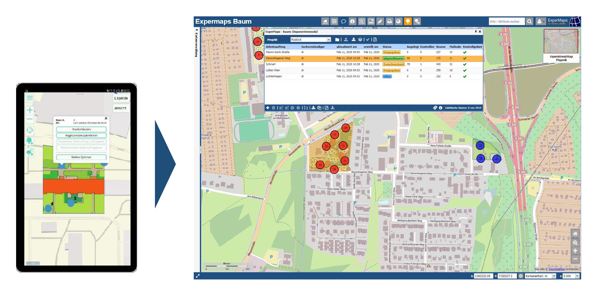
Wir haben uns die allgemeine Kritik zu Herzen genommen und ernten viel Lob über die gelungene Softwarearchitektur. Erfahren Sie hier mehr.

Back