At the end of 2014 Hansa Luftbild was able to gain a project within an international tendering of the Greek “National Cadastre and Mapping Agency” (Ktimatologio). Within the proposal 43.733 km² of the northern third of Greece should be flown and thereof orthophotos to be produced. The gathered current topographic information forms a base for the present being set up national cadastre. The state of Greece creates thereby legal certainty in property matters and property questions. Additionally new sources of revenue present themselves, since due to the introduction of the cadastre a more precise base for the calculation of rates and real estate taxes is at disposal. Thus the programme fulfils the present requirements of the EU that undertook a part of the project financing.
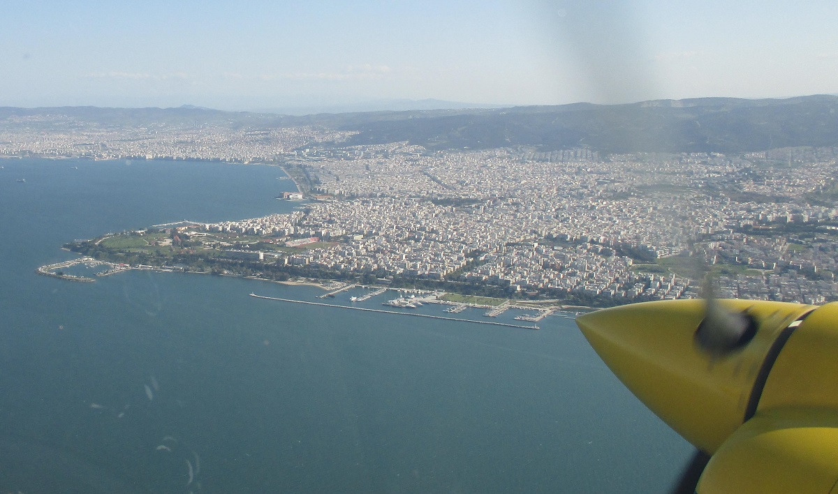
Hansa Luftbild chose Thessaloniki as advance base for its pursuits. From the local airport the stipulated area was flown within two flight campaigns (April/May and August/September). The size of order also includes measurement and signalling of control points, implementation of an aero triangulation, the photogrammetric measurement of a height model and finally the production of a digital orthophoto mosaic.
Despite an ambitious schedule and the political and economic problems of the country the project could have been finalized for the most parts due to a confident cooperation of the German and Greek partners. Not only the committed acting of the Münster crew and the intensive support by the Greek partner companies and the principal at site but also the efficient use of technology (twin-engined Cessna 404, aerial survey camera UltraCam Eagle 100) played a part in contributing to that. On this basis the aerial survey could have been completed successfully and the orthophotos could have been produced at the same time. The final delivery of data is going to happen in the beginning of 2016.