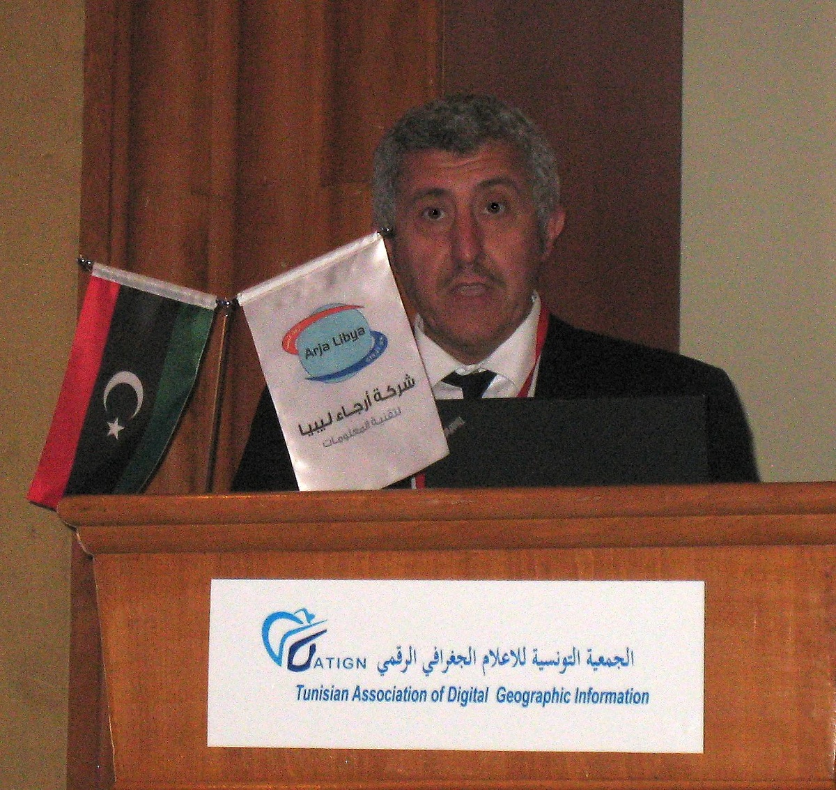
The conference, which was organised by the Tunisian Association of Digital Geographic Information (ATIGN), featured a series of workshops and presentations to highlight the collection, processing and use of geo-data in North Africa. Special prominence was given to the application of GIS to environmental issues. At the conference Hansa Luftbild presented a paper on a methodology for making maximum use of all the spatial information obtained through airborne survey and remote sensing.
8th Geo Tunis Conference held 02 to 06 April 2014
Hansa Luftbild, which has been active in Africa since the early 1970s, was recently invited to participate in the eighth Geo Tunis Conference held 02 to 06 April 2014, in Hammamet, Tunisia.

[Translate to Englisch:] Tarek Zein vertrat die Hansa Luftbild auf der 8. Geo-Tunis-Konferenz
Back

