
Please select your line of business:

Aerial Surveys & Orthophotos
The basis for every GIS, for digital surface models, for every cadastre, for every query.


Mobile Mapping
Mobile recording and visualization of roads: Traffic images move you on the spot
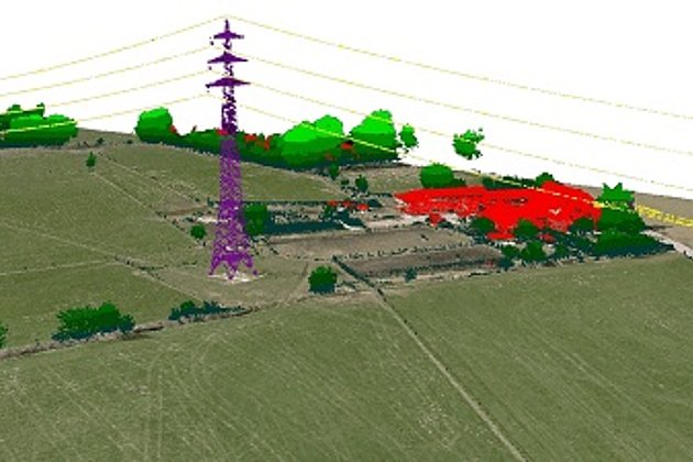
Light Detection and Ranging (LiDAR)
Dense point clouds are the basis for classified terrain and surface models of corridors.
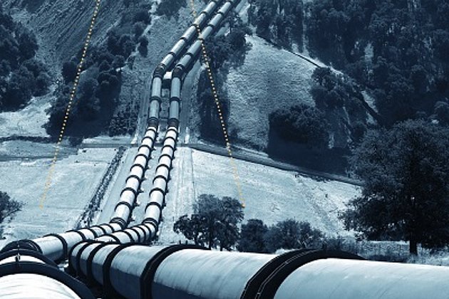
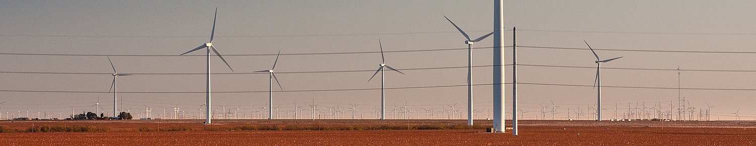
Airborne Corridor Mapping
How to plan, document, measure and monitor pipelines, overhead lines, railways and roads
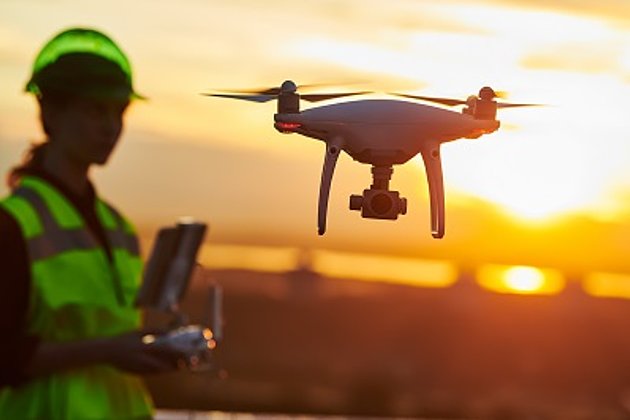
Unmanned Aerial Vehicles
Our drones are suitable for small objects, highest depth of detail and difficult to access areas.
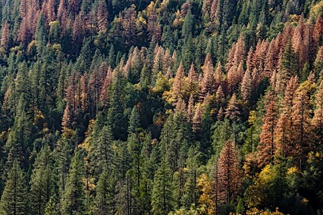
Wood and Forest
Damage to forest stands caused by bark beetles, search for wood storage sites, etc.? Current data from Hansa Luftbild provide you with fast information.
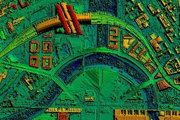
Surface & Terrain Models
3d models of topography, objects and surfaces - made for visualisation and simulation
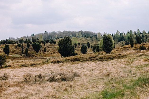
Landscape Planning
Specialist information from experts for UVS, landscape planning and use, biotope types, monitoring
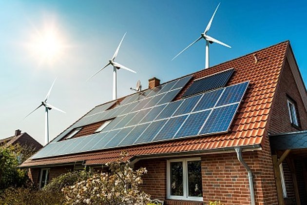
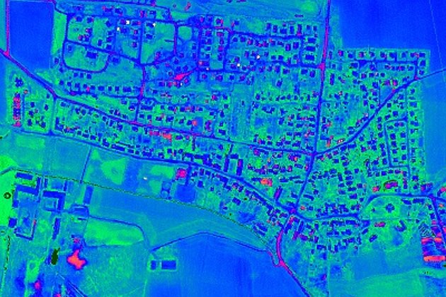
Aerial Thermal Imaging
"Thermal imaging cameras" visualize temperature differences: for pipeline leaks, climate reports, heat losses.