
Please select your line of business:

Aerial Surveys & Orthophotos
The basis for every GIS, for digital surface models, for every cadastre, for every query.


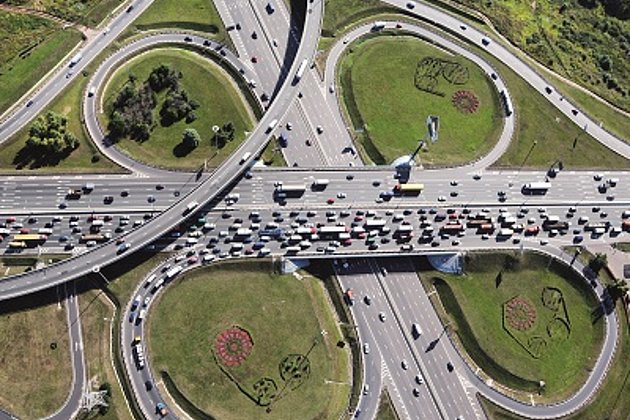
Mobile Mapping
Mobile recording and visualization of roads: Traffic images move you on the spot
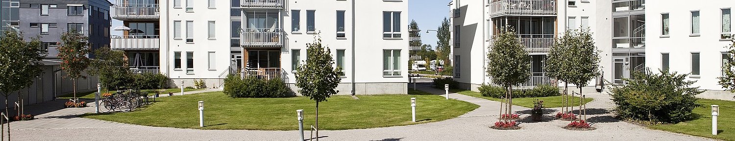
Facility Management
Survey of green and grey areas & buildings for green maintenance & winter service. Furthermore: tree inspection, WebGIS, optimisation check etc.
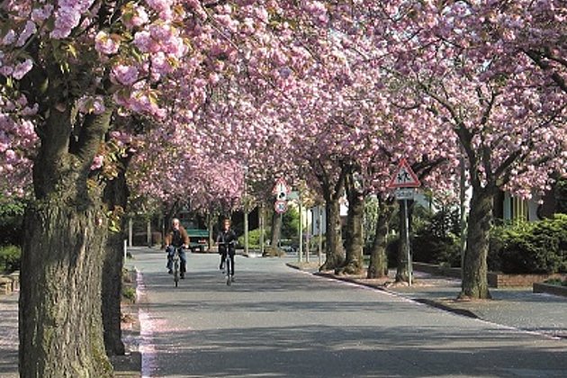
Tree Register
Legal and traffic security: Tree registers since 1976; mobile software solution
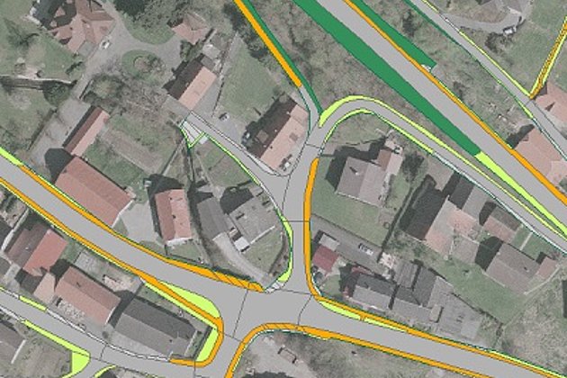
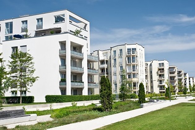
Cadastre Management
Whether opening balance or continuation: Specialized cadastres for road and green provide data on condition and state.

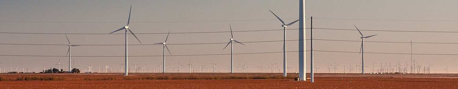
Unmanned Aerial Vehicles
Our drones are suitable for small objects, highest depth of detail and difficult to access areas.
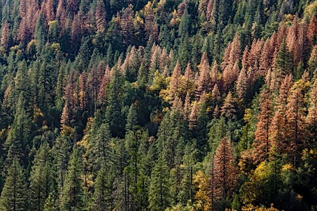
Wood and Forest
Damage to forest stands caused by bark beetles, search for wood storage sites, etc.? Current data from Hansa Luftbild provide you with fast information.