
Please select your line of business:

Aerial Surveys & Orthophotos
The basis for every GIS, for digital surface models, for every cadastre, for every query.


Mobile Mapping
Mobile recording and visualization of roads: Traffic images move you on the spot

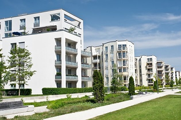
Facility Management
Survey of green and grey areas & buildings for green maintenance & winter service. Furthermore: tree inspection, WebGIS, optimisation check etc.
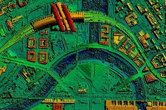
Surface & Terrain Models
3d models of topography, objects and surfaces - made for visualisation and simulation