
Please select your line of business:

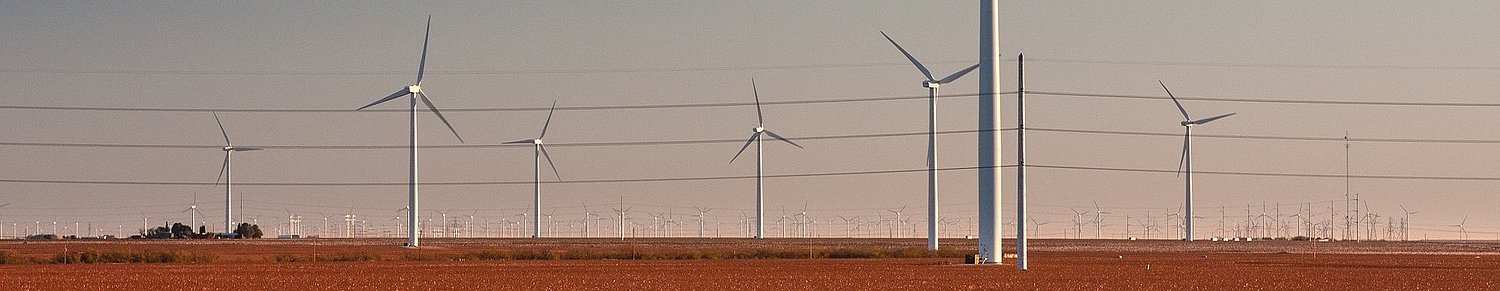
Aerial Surveys & Orthophotos
The basis for every GIS, for digital surface models, for every cadastre, for every query.


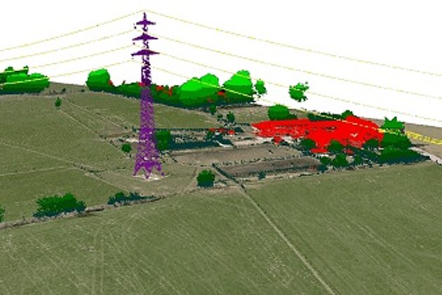
Light Detection and Ranging (LiDAR)
Dense point clouds are the basis for classified terrain and surface models of corridors.

Tree Register
Legal and traffic security: Tree registers since 1976; mobile software solution
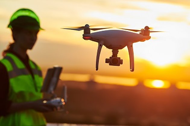
Unmanned Aerial Vehicles
Our drones are suitable for small objects, highest depth of detail and difficult to access areas.
International Consulting
Organisation & company with international geo-focus looking for partner: Hansa Luftbild speciality since 1923
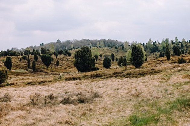
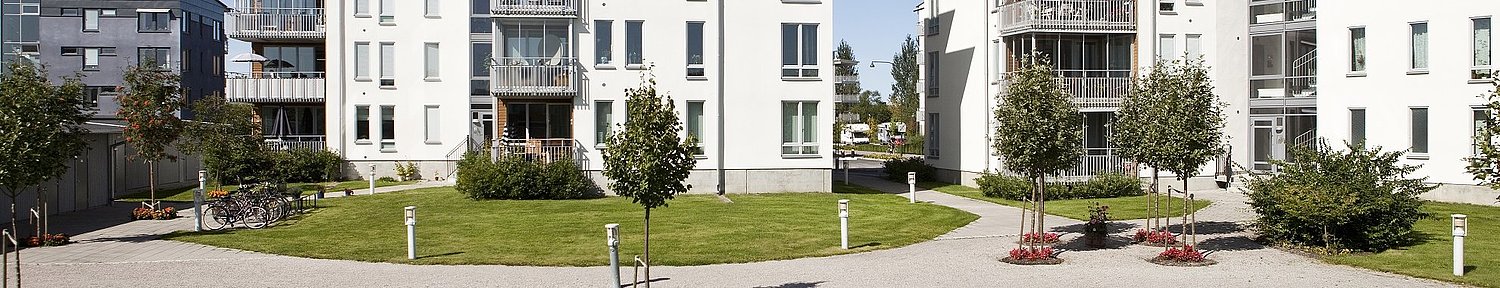
Landscape Planning
Specialist information from experts for UVS, landscape planning and use, biotope types, monitoring