
Please select your line of business:

Aerial Surveys & Orthophotos
The basis for every GIS, for digital surface models, for every cadastre, for every query.


Mobile Mapping
Mobile recording and visualization of roads: Traffic images move you on the spot
Light Detection and Ranging (LiDAR)
Dense point clouds are the basis for classified terrain and surface models of corridors.
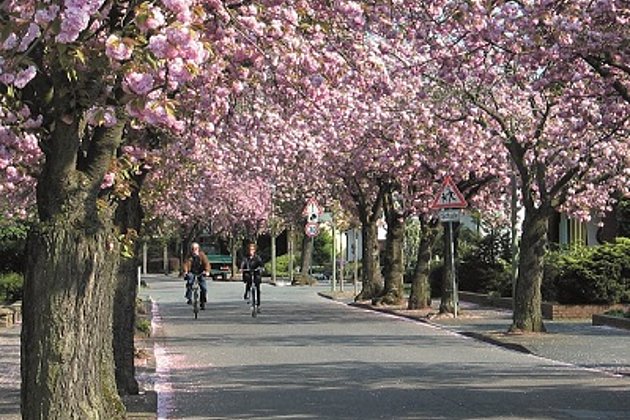
Tree Register
Legal and traffic security: Tree registers since 1976; mobile software solution
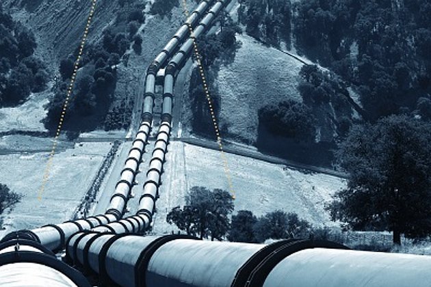
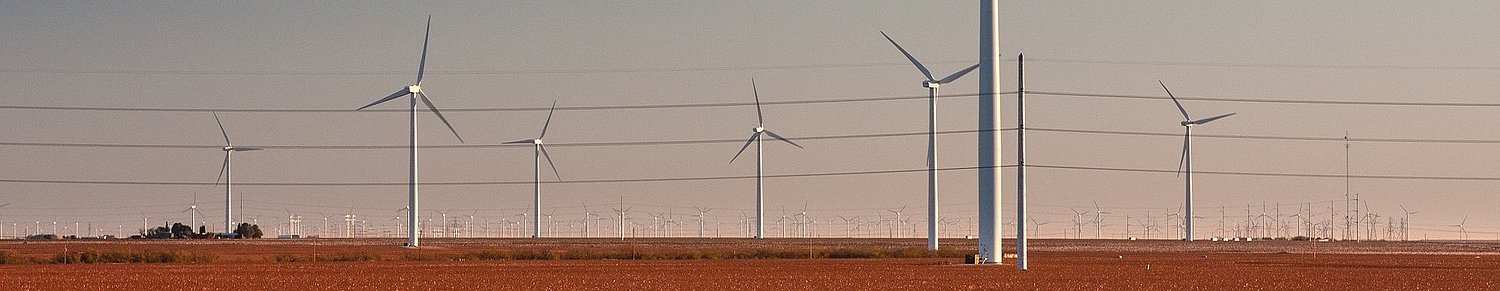
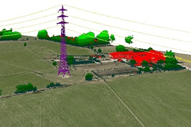
Airborne Corridor Mapping
How to plan, document, measure and monitor pipelines, overhead lines, railways and roads