
Please select your line of business:

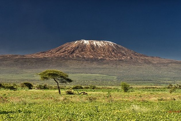
Aerial Surveys & Orthophotos
The basis for every GIS, for digital surface models, for every cadastre, for every query.


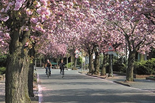
Mobile Mapping
Mobile recording and visualization of roads: Traffic images move you on the spot

Facility Management
Survey of green and grey areas & buildings for green maintenance & winter service. Furthermore: tree inspection, WebGIS, optimisation check etc.
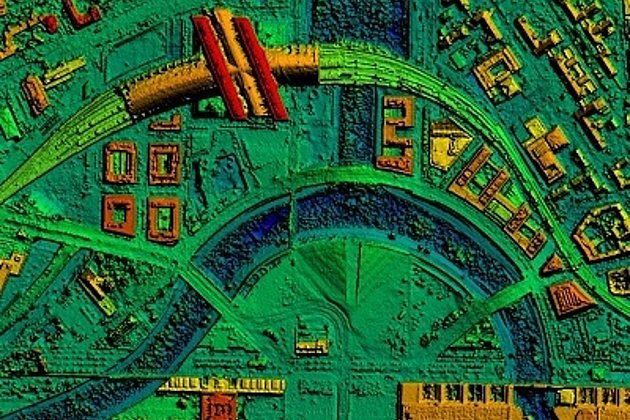
Light Detection and Ranging (LiDAR)
Dense point clouds are the basis for classified terrain and surface models of corridors.
Tree Register
Legal and traffic security: Tree registers since 1976; mobile software solution
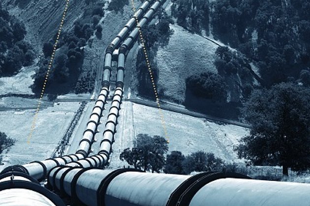
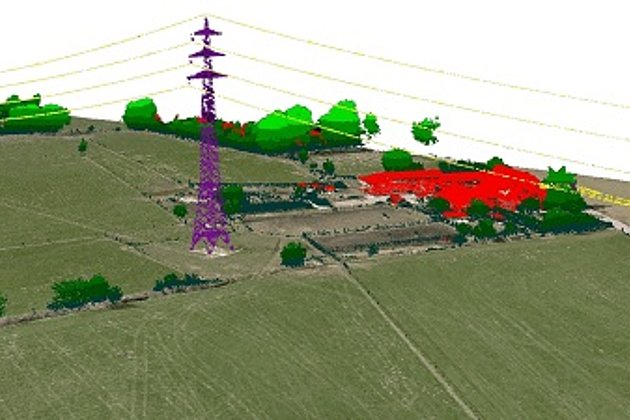
Airborne Corridor Mapping
How to plan, document, measure and monitor pipelines, overhead lines, railways and roads
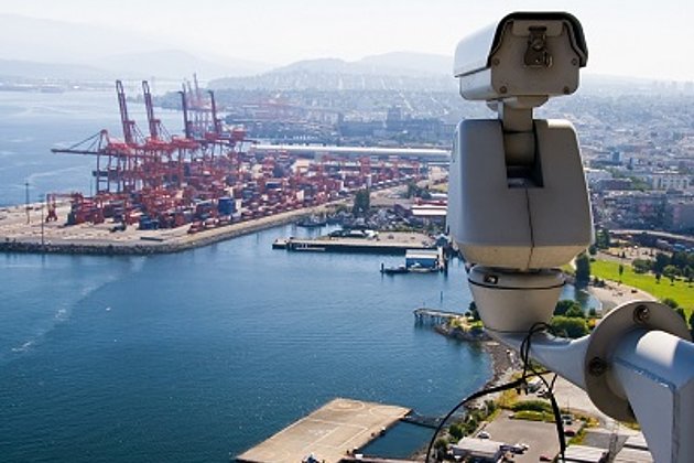
Hansa GeoPort
Hansa GeoPort - The portal for geoinformation and processes for port operators and associations

Unmanned Aerial Vehicles
Our drones are suitable for small objects, highest depth of detail and difficult to access areas.
International Consulting
Organisation & company with international geo-focus looking for partner: Hansa Luftbild speciality since 1923
Surface & Terrain Models
3d models of topography, objects and surfaces - made for visualisation and simulation
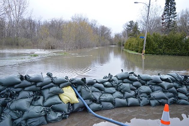
Coastal Protection
Flood, low tide, storm surge: our data and services will help you quickly and accurately.