This website uses cookies

This website uses cookies to improve user experience. By using our website you consent to all cookies in accordance with our Cookie Policy.

Some cookies on this site are essential, and the site won't work as expected without them. These cookies are set when you submit a form, login or interact with the site by doing something that goes beyond clicking on simple links.

We also use some non-essential cookies to anonymously track visitors or enhance your experience of the site. If you're not happy with this, we won't set these cookies but some nice features of the site may be unavailable.

Aerial Surveys & Orthophotos

The basis for every GIS, for digital surface models, for every cadastre, for every query.

Read more

ExperMaps

The intuitive WebGIS for management of all kinds of geoinformation

Read more
Mobile Mapping Fahrzeug Berlin

Mobile Mapping

Mobile recording and visualization of roads: Traffic images move you on the spot

Read more

Software Services

Consulting, development and training for spatial software projects

Read more

Tree Register

Legal and traffic security: Tree registers since 1976; mobile software solution

Read more

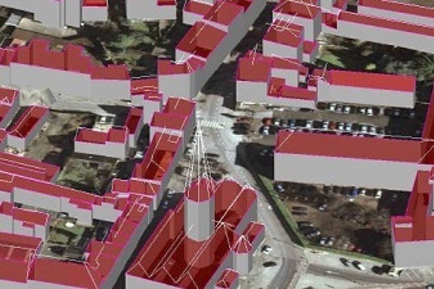
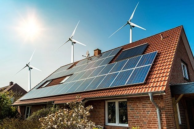
3D City and Terrain Models

3D building models are the indispensable basis for BIM, visualization, planning and citizen participation

Read more

Unmanned Aerial Vehicles

Our drones are suitable for small objects, highest depth of detail and difficult to access areas.

Read more

International Consulting

Organisation & company with international geo-focus looking for partner: Hansa Luftbild speciality since 1923

Read more

Wood and Forest

Damage to forest stands caused by bark beetles, search for wood storage sites, etc.? Current data from Hansa Luftbild provide you with fast information.

Read more

Solar Roof Cadastre

Your citizen and environmental service based on our data

Read more