
Please select your line of business:

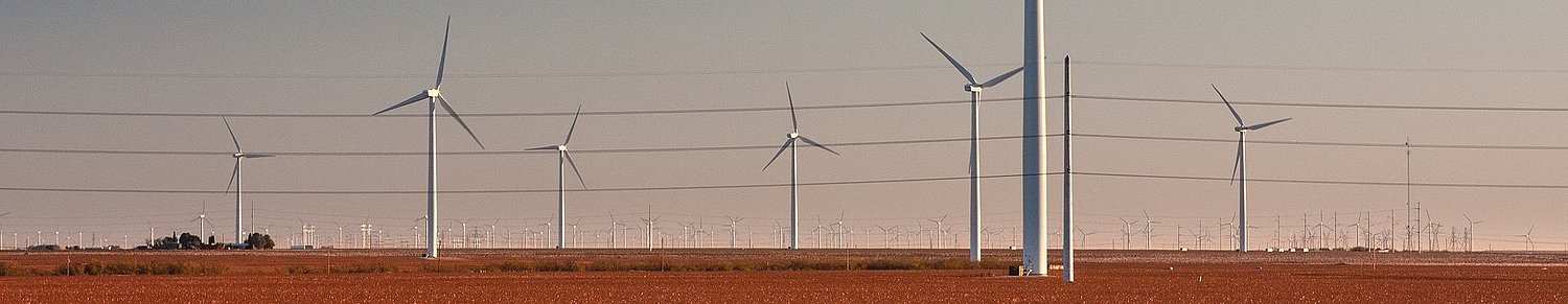
Aerial Surveys & Orthophotos
The basis for every GIS, for digital surface models, for every cadastre, for every query.

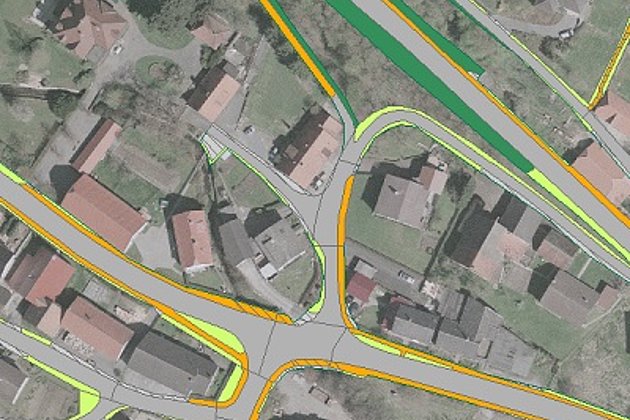
Cadastre Management
Whether opening balance or continuation: Specialized cadastres for road and green provide data on condition and state.
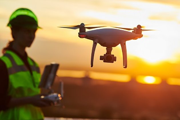
Unmanned Aerial Vehicles
Our drones are suitable for small objects, highest depth of detail and difficult to access areas.